Stowe Update
545am. Currently 34 degrees F and windy. Heavy wet snow. 4″ of glop in parking lot. Nasty weather. Hoping for drier conditions up high. Will post.
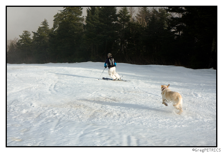
159pm. Just got back from 3 glorious runs up at Stowe. At 1600ft snow was wet and thin. By 2200ft snow was dry and deep. Although not powder (the winds did too much work last night to leave cold smoke) the snow was dry and chalky windbuff. Look for places drifted in for best results. Rinse lather repeat. Pics in a few minutes.
I just got off the phone with Allen and Ben who are reporting heavy snow on Stowe this afternoon, with snow sticking down to the base as of 6 PM.
Giving Thanks
A portion of the FIS crew headed up to Killington on Thanksgiving Day to assess the damage, and harvest thankfully whatever snow remained.

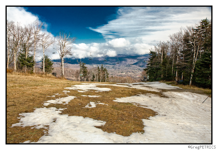
Below the Bunny Buster poma lift the snow was completely ruined. Although occasional patches remain, all snow at low elevations was extremely dirty and full of rocks. It will take some work by Killington’s mountain operations staff to refresh these surfaces.

Continue reading Giving Thanks
Turkey, gravy and cranberry sauce sandwiches: Not the only good Thanksgivng leftovers this year (UPDATED: 11/27)
Things I love about Thanksgiving:
1) No bull- the day is about good food and spending time with people you want to spend time with. No present stress to muck it all up.
2) Stuffing. ’nuff said
3) Leftover turkey sandwiches with gravy and cranberry sauce. YUM.
4) Upslope snow events.
Significant Snow Event Expected for parts of the Green Mountains, northern Adirondacks, and northern White Mountains
Low pressure developing today off the mid-Atlantic coast will ride up the Eastern Seaboard tonight and tomorrow, rapidly strengthening as it does so. This low will undergo cyclongenesis (maybe even bombogenesis) as tracks north past Cape Cod and Boston tomorrow, eventually tracking into Maine tomorrow afternoon. This low will spread heavy rain and very high elevation snow over New England tomorrow morning into tomorrow afternoon before cold air works in and starts to lower the snow levels. By tomorrow afternoon/night as strong northwest winds pick up in response to the deepening surface low, precipitation will become focused over the upslope regions of the northern Adirondacks, central and northern Greens, and northern Whites. Friday Night and Saturday should produce very significant snow over these upslope favored areas where accumulations could be measured in feet by Saturday Night.
Continue reading Significant Snow Event Expected for parts of the Green Mountains, northern Adirondacks, and northern White Mountains


