Rocky Mountain High
My last vision of Vermont was on a 50 deg rainy day 2 weeks ago as I boarded a plane heading for Denver. Suffice it to say that I was not sad to leave my beautiful home behind and get some western perspective, all while hopefully letting winter make a comeback with me on the road. (That always happens… every… single… time.)
My first stop was to attend the Snowsports Industry of America (SIA) tradeshow and demo event. It was an interesting and fun experience for sure. I saw some unique and new items that I will likely get to dissect with some more depth (and deep reviews) here in the coming months. But keep an eye open from some killer new products from Dynafit, La Sportiva, Fritschi/Black Diamond, K2, and Volkl.
One easily forgets that only a few months ago Colorado became one of the first states to legalize use of Marijuana. It seems like the snow sliding culture in the state has taken a shine to these new freedoms, and are now fully living the title of their state song. At least now they are in public. Just taking a stroll through the snowboard company tents at the Winter Park demo, oh my gawd!
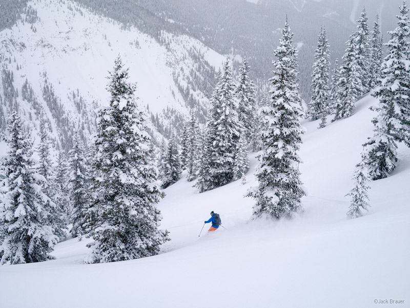
After a few day stay in Crested Butte to visit some family and ski the resort terrain, I made it back down to the San Juans where I could finally do some personal choice skiing.
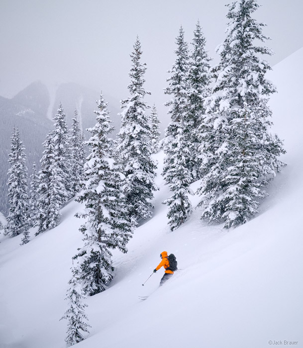
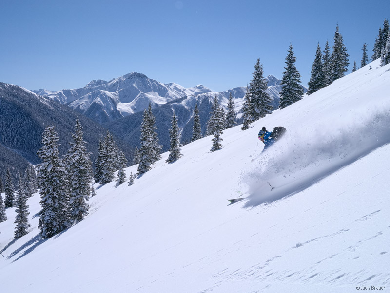
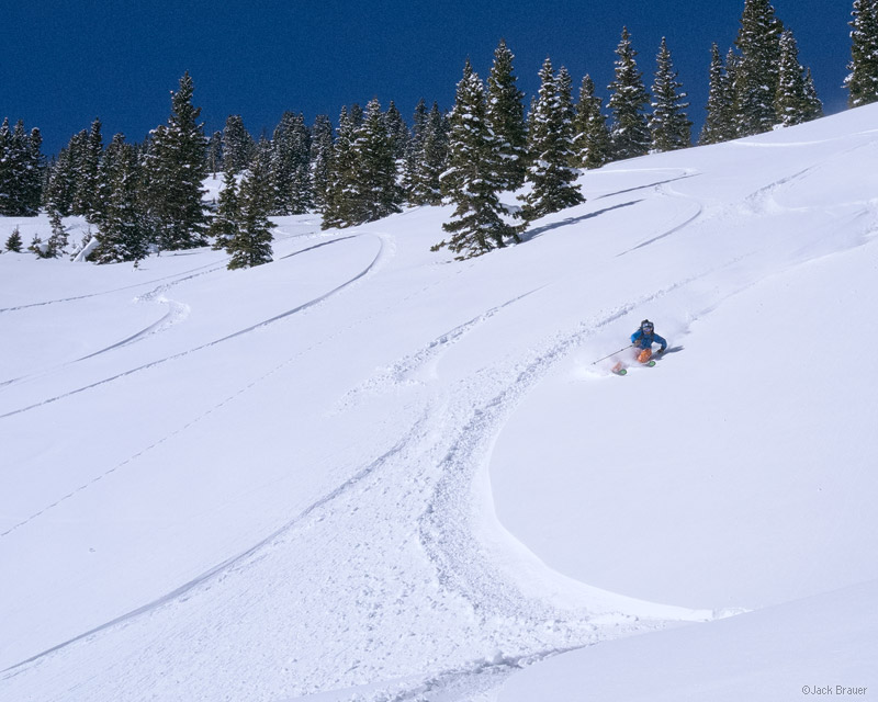
The snowpack in western CO is a good news/bad news proposition at the moment. Good news is that the skiing is the best it has been here all season. Three weeks ago there was pretty much nothing but 16″ of facets and surface hoar. Bad news is that two pretty large snowfalls have landed on top of that unsupportive base; a 4ft storm at the very end of January, and a 2ft refresher this past weekend as I pulled into town. In no uncertain terms the backcountry travel requires attentiveness, conservative decision making, and careful snowpack evaluation. But through perseverance and terrain knowledge we were able to find some stable, “type 1 fun” slopes to make the happy time schuss.
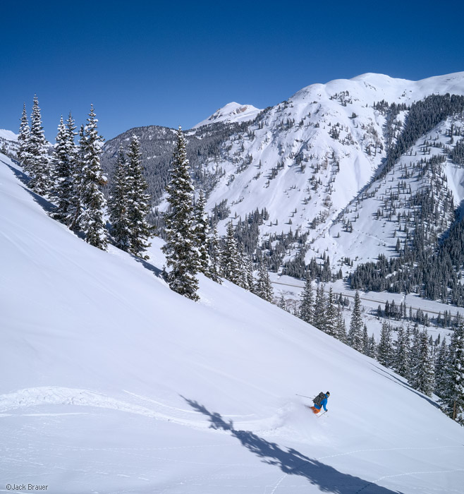
Joining with my buddy Dan, and local photographer Jack Brauer, we have been getting after it and making the most of the best conditions of the season in this range.
I got a few more days here in Colorado to get all the pow, then I will scoot on over to Salt Lake to hopefully catch up with the Utah FIS crew for some turns before making it back to VT, where I am sure it will be dumping snow for my return.
But for now the heavy snow has resumed falling and it is time to git sum!
See y’all soon!
Take some time and check out Jack’s blog. Moar great ski shots and even Dan sending a seldom climbed mixed route in the Ouray Ice Park. YEAHHHAH.
Schussing Nemo (Pt. 2)
For most of Vermont at least, the best day of schussing Nemo was Friday. Nemo was really two storms. As I understand it from Lionel, the first storm was a shortwave to the north, and right on its heels was a classic coastal low to the south. The shortwave on the front end of the storm performed well in Vermont, putting down a layer of 8-12″ north of Vermont Route 125 by midday Friday. The shortwave was then “ingested” by the coastal low Friday afternoon, transferring the snowfall (and the highest storm totals) to areas from CT to ME from Friday afternoon through Saturday. As this happened, up north, the snow shutoff, and the winds ramped up as the low slid along the Atlantic coast. These winds, as we found out the hard way, made for very stiff snow at elevation.
Saturday morning, at the top of the mountain, the best snow was confined to small pockets in the one-off sheltered areas…
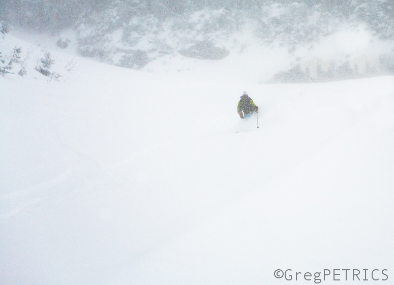
…and those pockets would then instantly transition into tip-grabbing wind-affected snow (unbeknownst to Lionel).
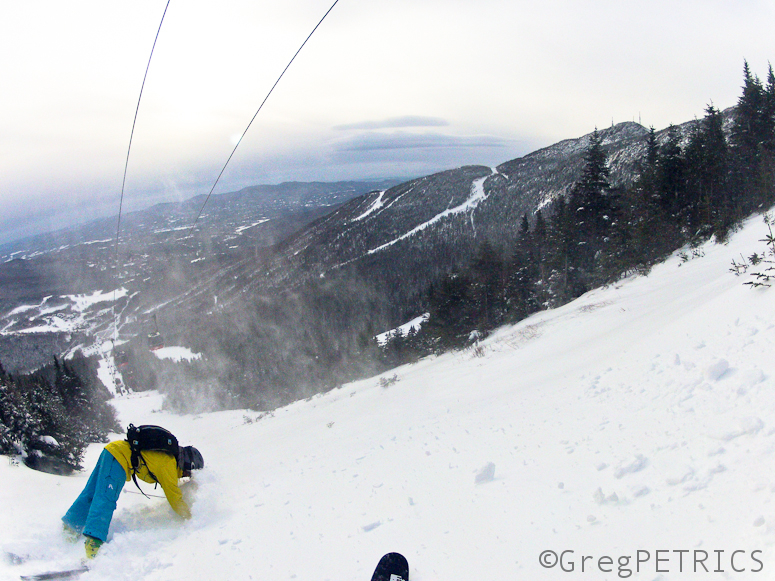
Pow is pow though…
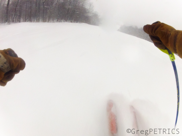
…so you won’t hear us complaining. Looking back on it, it might have made some sense to make a trip to one of the proud resorts in southern NH. Oh well.
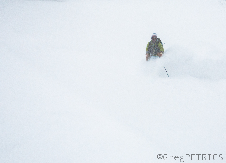
The snow was so wind affected at elevation in Vermont that we even set off a small loose avalanche in bounds that ran about 50 feet. After pooping his pants, Hutz skied the debris.
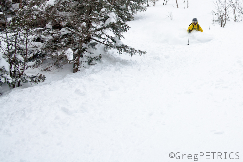
Mid-Week Upslope Snow FTW
Last week I said big storms like #Nemo didn’t excite me that much. Reasonably, people asked: “Well what does.” Simple answer: Upslope snow. I mean, need you ask why?
And we have some coming. Yay.
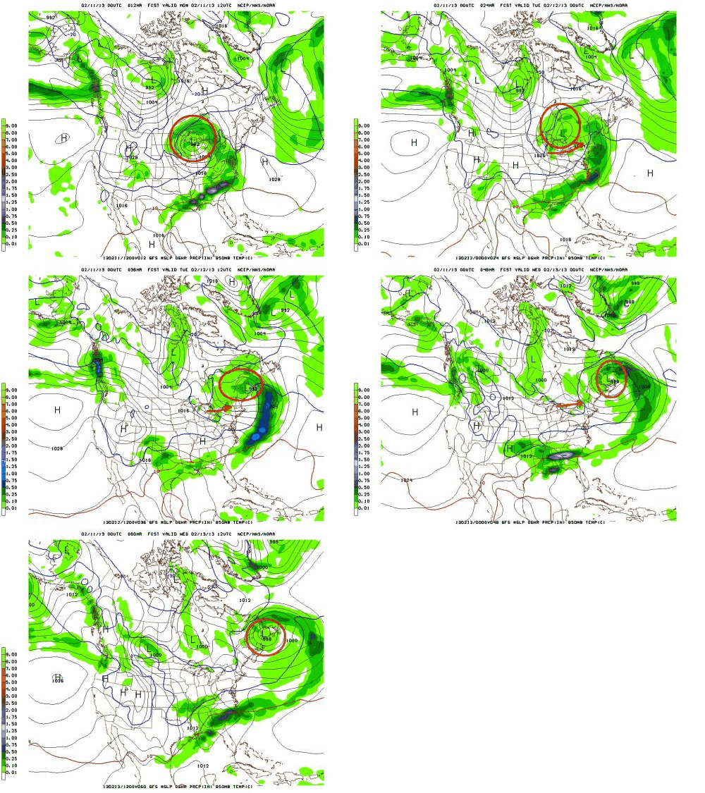
Today, a low pressure system is beginning to cut off to our west and move into the Great Lakes. As it does, some warm air will push into the northeast today. The low pressure will move east thru the day and bring a period freezing rain, sleet and upper elevation snows (above 2500ft) to VT and the ADK. That’s not the exciting part.
After that, it will move east, through northern NY, just across the VT/Can border and then out over Maine. Winds, will turn to the sw/west as the low passes. (I marked the winds too).
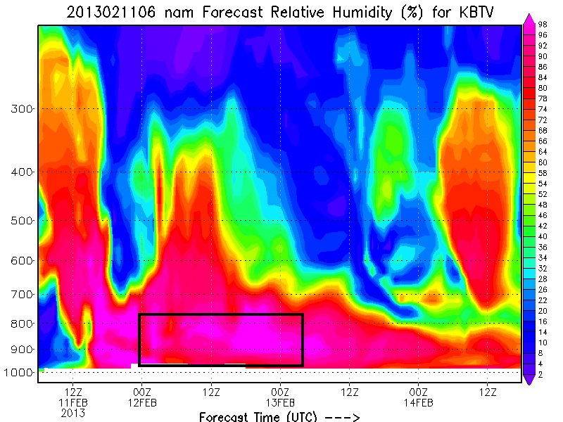
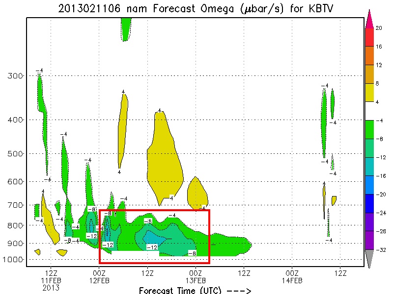
This, I like. The result of the moisture rich low and steady west winds will be upslope snow in the ADK and Spine. Looking at the time/heights for the period:
we see a classic upslope signature. Deep low level saturation, upward vertical motion above 8 u/sec and temperatures crashing into the -6 to -12c range. Consequence: Pow.
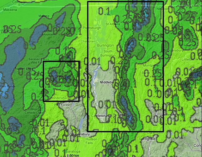
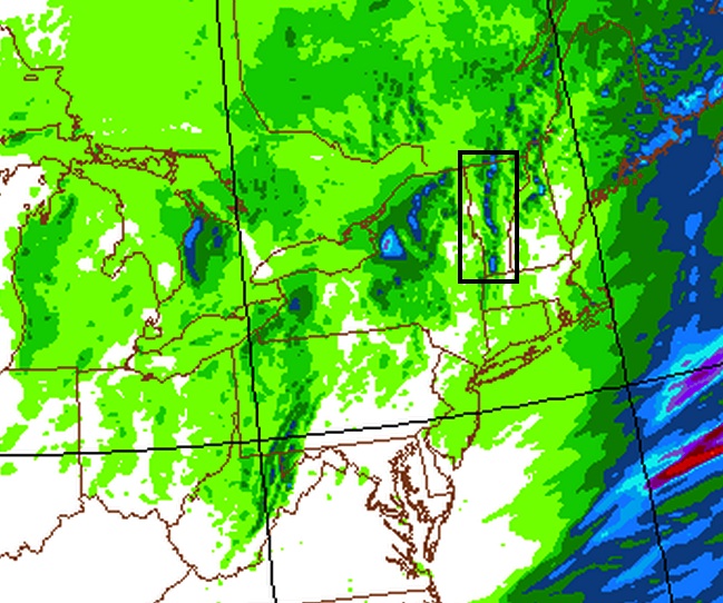
High res models show 6-8+ (possibly 12 in favorite spots) falling along the spine from 7PM tonight thru 7pm tuesday night:
Notably, the Frounde number should be around 1 or slightly above, meaning the heaviest upslope snow will fall just along the spine or to the east.
I’ll update tomorrow am.
Schussing Nemo (Pt. 1)
We went out and schussed Nemo for an hour or so this morning. What a treat!
We’ll have more content later as we see what happens, but for now here’s a quick POV from today. GIT SUM!
Snow totals so far:
WHITEFACE: 10″ AND COUNTING!!
Sugarbush: 2-5″
Jay: 1+”
Stowe: 4-6″
Killington: 2″
Magic: Dusting
But the real story is the snow foreacst for the rest of the storm (from Lionel):
Forecast totals.
10-18 ADK, 8-16 Stowe thru Middlebury ski bowl. 12-18 Mid thru Kmart, 12-20 south VT…..8-20 in the whites.
POW!!!!!!!!!!!!!!!! OMG POW!!!!!!!!!! (Updated: Friday 10:30 – at bottom-)
“They say its going to snow.”
No kidding.
In about 24 hours, widespread heavy snowfall will affect the Northeast. Again, for these big storms, there isn’t a lot to say. Nor in truth are these storms what get me jazzed up. Nor are they really why you come here. YOu come here for the little reported, sneaky snow. But whatever….lest’s get to the snow.
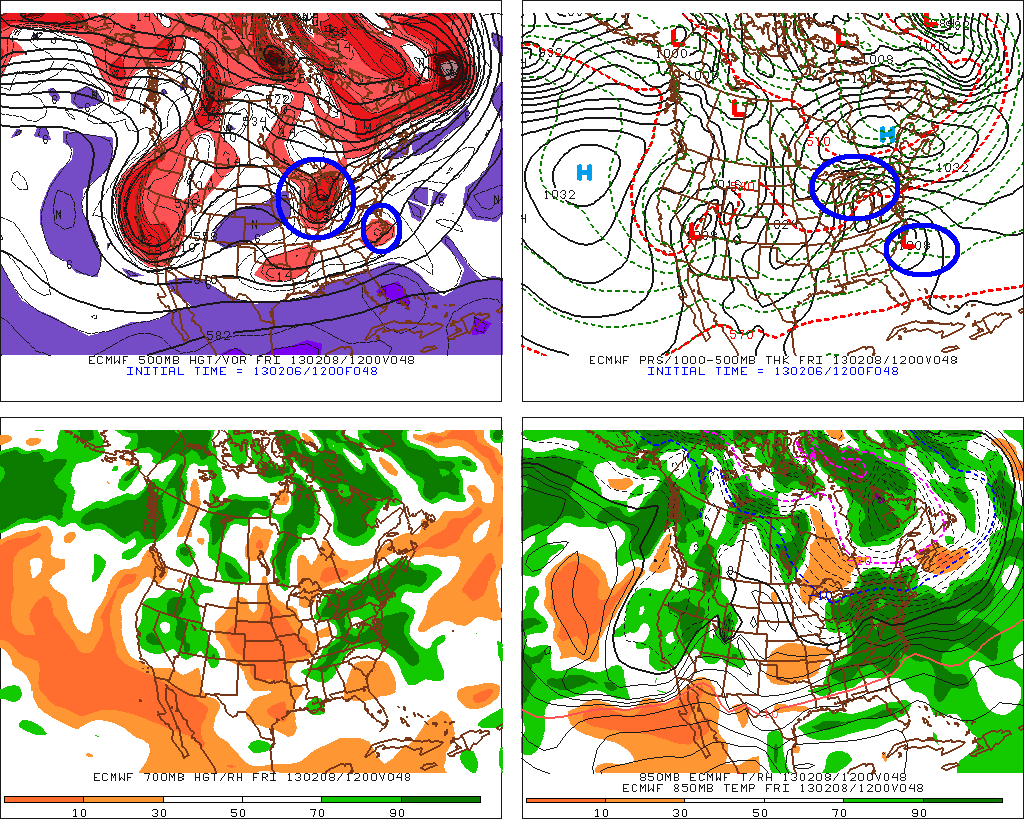
All the major models have converged on a reasonable solution that combines – or phases- two strong low pressure systems.
I’ve marked them in blue below:
Through the day friday these lows will interact and by Saturday morning these two systems are combined into one large coastal storm:
As this plays out the first act will involve a band of heavy precip associated with warm air advection moving into the northern NY. Snow from that will break out friday morning across NY state and then late morning friday in VT. Snows will be moderate thru the day friday in NY and VT. Snow will really ramp up from late afternoon friday thru saturday morning. Some data suggest upwards of 2 inches per hour will be possible for periods overnight friday.
At the same time, the combined large coastal low will begin to take over. This large coastal low will move up the coast and bring heavy heavy snow to portions of S/E New England late friday, early saturday.
The interesting part about this system will be how the northern stream low – and the precip associated with it – affects the Northern Adirondacks, and Northern Vermont. Normally, when you have northern stream low transferring energy to a coastal low, the precip can get cut off pretty quickly to the n/w of the now stronger coastal low. The result is a classic skunking of the ADK and parts of VT. That’s not looking like it’s going to happen here. Instead, it seems a heavy band of precip will remain going in the ADK. The models show the coastal low interacting with old northern-stream low (which devolved into nothing more than a trough) to funnel moisture into a narrow band in NY (and Nor. VT).
Thurs 3PM UPDATE
Last night I forecasted as such: overall, there isn’t much else to say, so I’ll just get right to the forecast:
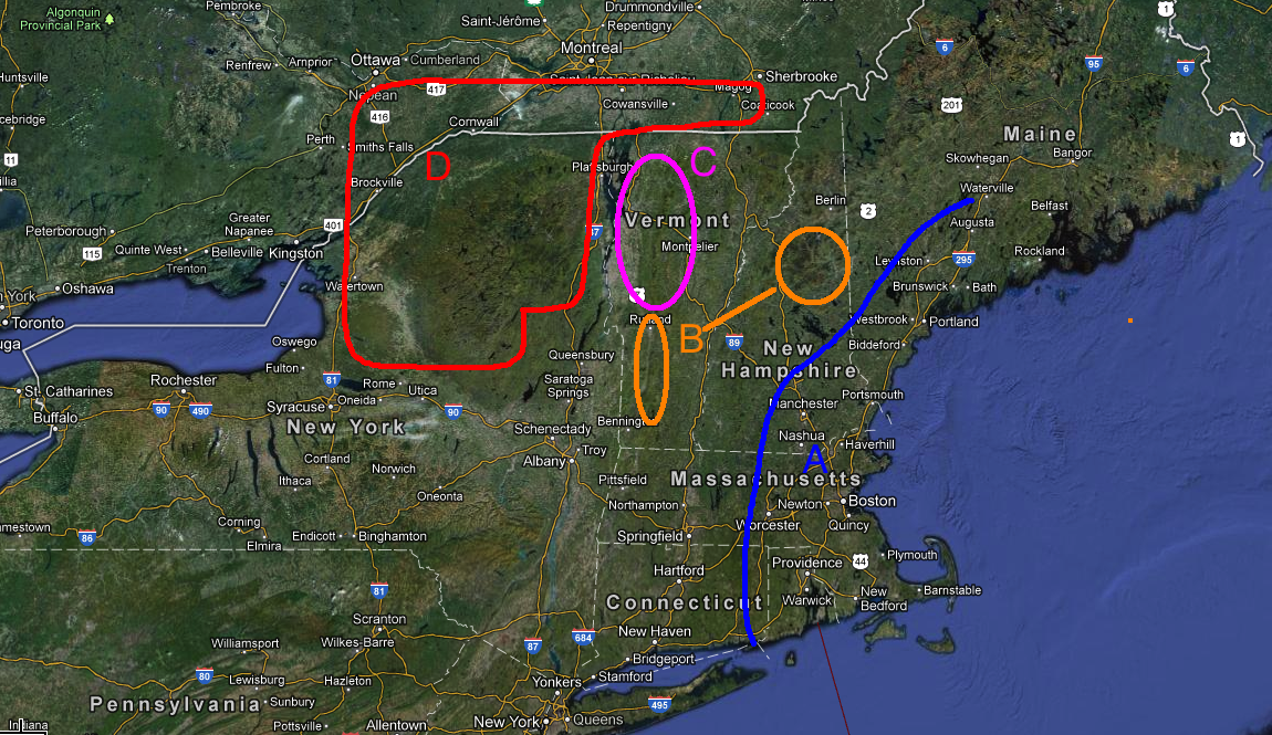
A: Extreme S/E New England. Widespread 18-30 inches of snow.
B: Southern VT, White Mtns (and I guess NW Maine should be here as well). Widespread 10-18 inches of snow.
C: Central and Northern Greens. Average 8-14 inches at lower elevations, 10-18 at higher elevations. VERY high snow to water ratios. Something like 15 or 16 to 1 will make it easy to get higher totals out of less water.
D: ADK and strip through so. quebec (Sutton area). Might just be the $$ spot when all is said and done. Looking a little wetter than Nor. VT per the models and with similarly high snow growth this area wil see widespread 8-14 with pockets MUCH MUCH above that. If this breaks per the 12z suite of guidance, certain pockets will be pushing the 24+ range.
—
Today I’m going to amend that. A clear trend has developed since the overnight models came in. That trend has reduced the precip in Northern VT substantially, tracked the coastal low east of it’s wednesday track and lightened the precip in the ADK. This trend was one of the reasons I was hesitant to put up a forecast last night. Since this storm became really likely, I’ve watched for this suppressed solution to develop. And while it’s clearly NOT suppressed per se, the heavy westward extent of the precip always felt overdone. Also, what I’ve noticed is that the timing – where in the coastal low sucks energy away from the northern low- is going to occur so as to really limit the precip in a pocket over nor vt. Makes sense and I’m gonning to go with that.
So with that in mind, here is my revised forecast:
NW ADK: 8-14, High Peaks: 8-12+, Nor. VT (89 to Jay): 6-10, Central Spine (89 thru 4): 8-16, Southern VT: 10-18+, So NH, 12-24, Whites 8-16, Maine 10-18, Berks and Catskills 12+
FRIDAY 10:30 AM UPDATE
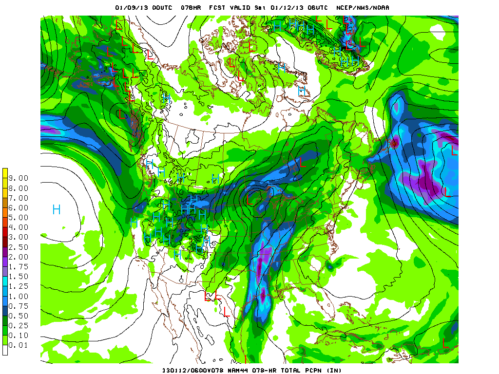
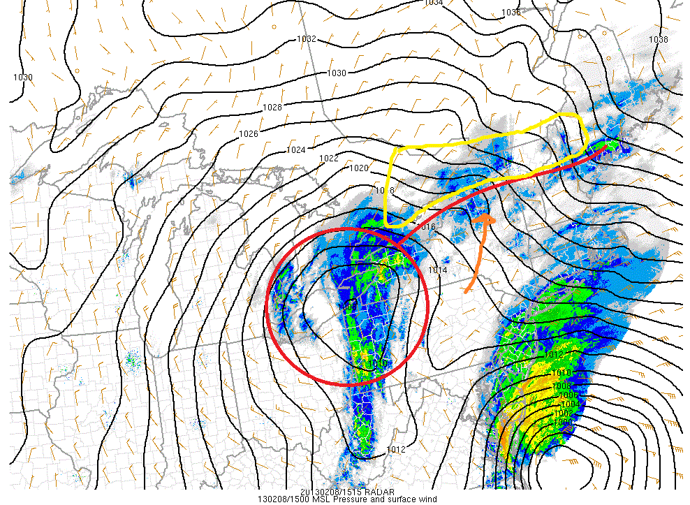
You can clearly see the “northern” low – circled in red- and the southern low hanging just off the east coast. These two lows are going to interact over the next 6-12 hours. The result will be a very strong coastal low. HOWEVER, that’s not to say we’re done with this northern low.
This morning a warm front is extended out to the east of the “northern” low. I marked that as a red line. Warm air advection on a south/south east wind is bringing warm, moist air into the region. So far this morning it’s done really well and over produced snowfall. Whiteface is already reporting 10 inches of new snow on the upper mtn. Stowe is in the 4-6 range!
Looking at the high resolution model, it def. looks like we’ll get another 4-6 inches of snow.
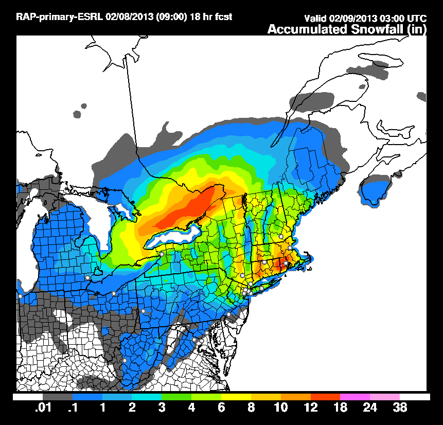
Not sure I need to adjust my totals that much. Maybe bump the High peaks up into the 12-18 range, and bump up the spine from 89 thru smuggs into the 8-14ish range.
/End Update
-Lionel.

