The Spread
No, not that spread…I’m talking about the 4 inch spread…you know…the spread of snow on the mountain this morning.
This morning I woke up feeling a little ill from my enjoyment of last night’s spread of chips, salsa, beef casserole, smoked meats, cured meats, and ground meats, but a quick check of the snow-report showed that it might be worth a trip to the mountain. The ‘9ers may have blown their advantage with the oddsmakers at the Championship Game, but the mountain did not underperform.
As it turned out, Kristin was happy that we got up early and bet on the spread of 4 inches.
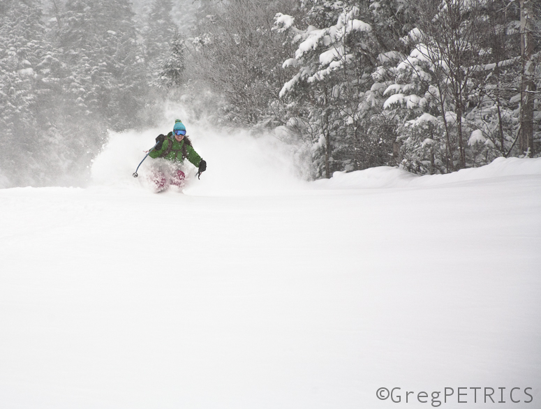
I think she also managed to win betting “over” when the casino set the line to 4 inches.
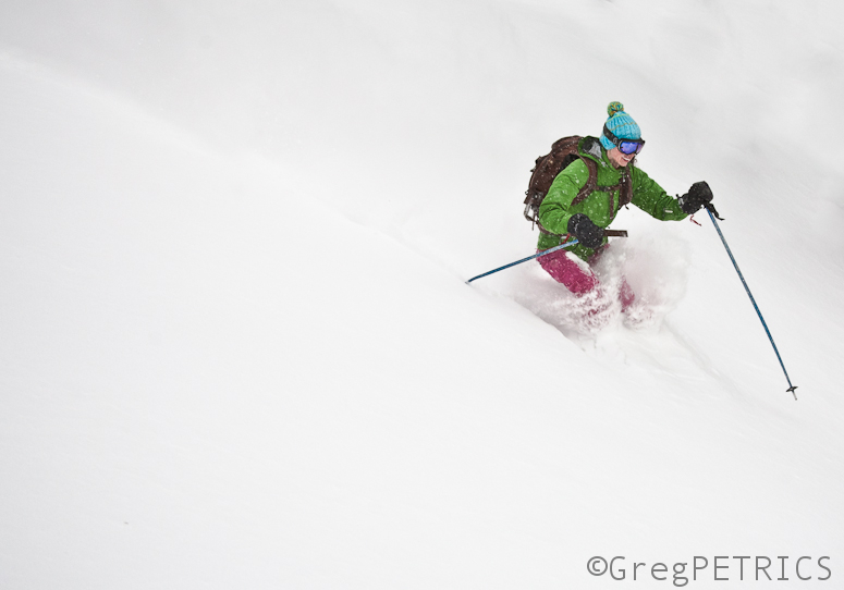
Yeah… definitely “over”…
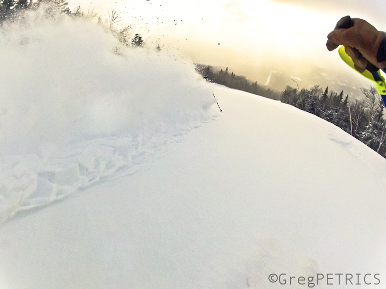
Lucky girl!
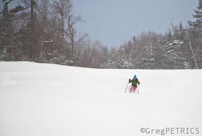
More often than not, I’ve found that the only bet that you can be sure of is that you don’t know if you don’t go.
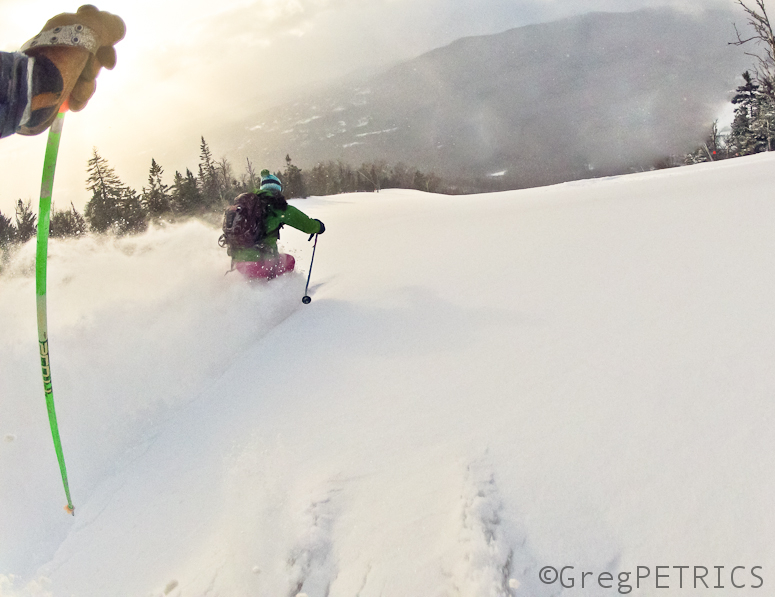
Don’t get on the wrong side of the odds next time: listen to Lionel, and wager on schussing!
Pattern Persistance Means More “Meh”
I know, there is only supposed to be 1 all-star break. Sorry about that. Odd scheduling anamoly. I’m working with the commish to iron out how that happened.
But we can’t go back in time and fix what happened. We can only look forward. Looking forward however, requires looking back. (I know, very space/timey).
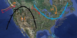
Over the past 30 days or so a common pattern emerged that has stubbornly persisted. The primary features of this pattern have been an upper level ridge and warm high pressure out west, and deep trough with assocaited cold high pressure out east. The resulting flow of air around these features has moved low pressure waves up into British Columbia, across the Canadian Rockies and then driven them down through or to the south of our region. As I’ve said before, these impulses, given their origins in a cold continential climate are dry and rather weak. Commonly these are called “alberta clippers” and bring little rounds of snow to narrow regions.
From December thru early January these dominant features were situated so as to drive these #littlewavesofjoy right over our region. Aside from the two big snows on December 20/21 and 27, these #littlewavesofjoy were our daily bread.
However, since about- well this– the pattern has morphed. Instead of driving these little waves over us, they have been drive to our south and east. The pattern now commonly looks like this:
As a result we’ve been high and dry. And cold. Breaks came in the way of warm, wet #allstarbreaks for the east, and decent dumps out west.
Pattern persistance forecasting is based on the simple concept that the weather will do in the future, what it has been doing for the last few weeks. It is a solid concept that at times is pretty much spot on. The weakness comes during legit pattern changes. If you aren’t quick enough to spot a change you, end up making a few bad forecasts as your understanding lags reality.
Why am I talking about persistance? Well because I think the next 5-7+ days will be alot like the last few weeks. I see no real reason to expect a substantial pattern change. In the wake of that midweek mess (out west it may be remembered more fondly) we’re watching the same pattern as described above develop.
Now that’s not to say that we’re totally shut off from snow entirely. In fact there are three waves over the next 4-5 days that will bring snow to the region. The largest of which will move in sunday into Monday. Models diverge on this #littlewaveofjoy. The most consistent models have the primary weak low diving out of Canada, and redeveloping with a surface coastal low sunday into monday. Now I don’t think this coastal low will move enough N/W to bring much snow to VT, NY or much of NH. However, it may track so as to bring decent snows to Maine and then on up into the Chic Chocs (likely crushed). The best chance for snows actually comes as the old primary low, decaying and weak drifts overhead. I’ve talked about how this pattern makes a pow. A few times actually. I don’t expect this scenario to play out as well. This time the low that drifts overhead isn’t that moist and isn’t really closed off. At best I think it brings like 2-4 to the ADK and VT sunday into Monday.
After that, it’s more of the same. Few little waves skirting to the south with the potential for something bigger always lingering just beyond the event horizon. But, for now, lets believe the past predicts the future and stick with this overall summation: It is going to be seasonably cold with light snow showers every so often.
When something more exciting comes along, you know I’ll be the first to holla.
-Lionel.
A few more days of Brrrrmont, then….
Hey all-
Due to a technical malfunction with the weather command center (who knew watching that donkey show would have any negative consequences?) I’m somewhat limited in my ability to convey visuals. Nevertheless, I’m going to push on.
So, it’s been cold. Don’t say you weren’t warned. But like all things, this cold will break. After the weekend however. First, this weekend we’ll see one last arctic high pressure move through the region. It will bring generally dry and cold conditions to the N/E mtns. A storm complex with skirt to the south through PA and southern New England today through tomorrow. Likely this is too far south to affect ski terrain.
A weak shortwave and cold front will ripple through Saturday afternoon. Moisture is limited for this #littlewaveofjoy but with temps in the single digits even .25 inches of water can make a decent little pow. So be on the lookout for a 1-4 inches of new snow Saturday afternoon thru early Sunday am.
On Monday, things start to change. The high pressure will slide off the coast. The flow of air around the high will move air from the southwest into the region warming us up significantly. Daytime highs Monday thru Wednesday will be into the 30s. At the same time a low pressure center will track to our northwest. The weak low will bring a mixed precip event to the region (typical snow-sleet-rain-snow event).
While models have been trending favorably for this event and recent runs have made it cooler (tracking the low over us instead of far to the n/w) and weaker (results in less warm air advection) there is little chance we avoid at least some rain early next week.
Following that things get interesting. I tweeted a few days ago about how favorable the end of the month looked for active snowy weather. Well it still looks good. Most major models show a number of major snow chances from 1/31 onward. My concern with this period has also not changed: we go back into the freezer and all the “weather” is shunted to our south and east. There is support for both solutions but for now, stay positive.
For my UT friends, it looks like your inversion hell will be briefly breaking this weekend. A trough will swing out of the N/W and scour out the stale inversion and bring substantial precip to the mountains. Prob something like 10-20 is reasonable. Sadly it doesn’t look that active in that events wake, as another ridge builds in.
Cold with light snows…otherwise known as January.
Well I for one enjoyed that #allstarbreak. Oh, you didn’t know that there was an all-star break in your ski season? Get with the program jong. All the system testing, sunrise schussing, facehot–ing, voyaging to VTAH, and scooting around coolers begins to take a toll. Suddenly it takes just a little longer to locate your ski gear and rally to the hill. Once the MapleFields coffee and your muddy boots lose their novelty, you know you need a break.
Previously we -myself included – would lament the inevitable January Thaw for taking away the powder. Well, no more. No more will I let that “break” bother me. Henceforth, said thaw will be know as the skiing #allstarbreak. I know I needed that 3-4 day break away from thinking about skiing to refresh myself. I suspect many of you did too.
But as much fun as a few rounds of warm golf and a break from the routine is to Chase (my report, my team), there comes a point were you are ready to get back into the action. And that point is now.
As we head into the weekend, winter will make a return with cold air and light snows. As I speak an arctic cold front has pushed through New York and Vermont and is moving into NH and Maine. The front is sparking some strong snow squalls as it passes with a quick 1-2 inches. Behind that front cold canadian air is building in. That cold air will be in place thru saturday. A weak wave of low pressure will skirt to our north on saturday bringing light snows on a #littlewaveofjoy to the region.
UPDATE: Latest model data is mroe robust. Thinking we’re looking at 2-5 thru saturday from this event.
The next event comes 24 hours later as a stronger low pressure system develops in the Great Lakes. That system looks to deepen overnight saturday and track juuuuuust north of the border. While I’d prefer it to track straight over us (more powz) the forecasted track will still push snow into the region. As the low moves east, an associated cold front will cross the area. That will spark snow showers early sunday morning. Cold, unstable temps and a moist flow around the low will keep the snow showers going thru the day sunday.
Right now it’s looking like an overall 2-4/3-5 type event. UPDATE: Still thinking that’s the right number One thing to watch is the potential the wave taps some great lake moisture and streams it into the ADK and the Central Green Spine.
I’ll be watching out for this come the weekend and will update accordingly.
Longer term, it looks to remain cold with a few shots of light snow as low pressure systems dive out of Canada and move across the region. The standard 300hr GFS bombs excluded, the pattern looks pretty stable and seasonal.
Oh and it’s going to be REALLY cold next week. -0s for highs. Maybe less in spots Wed/Thurs. Lows in the -20s to -40s if things break right. I’m kinda stoked. Dawn patrol?
Oh and for you western readers it is looking high and dry for the next week. Get that tan on!!
–Lionel
Wait I forgot the canucks. Looks best for the Tremblant region. The aforementioned lows will track right over Tremblant and bring a solid 6-8 inches of snow friday into Sat and then again Sun. Over by Sutton it looks a little lighter. Weekend totals there should be in the 4-8in range.
TR: A Tale of Two-to-the-Two Chute Schusses
It was the best of times,
it was the worst of rhymes,
it was the age of wisdom,
it was age of foolishness,
it was the epoch of relief,
it was the epoch of schussability,
it was the season of light snow,
it was the season of darkness,
it was the winter of hope,
it was the winter of cold air,
we had everything before us,
we had nothing before us,
we were all going direct to VTah,
we were all going direct to thaw–
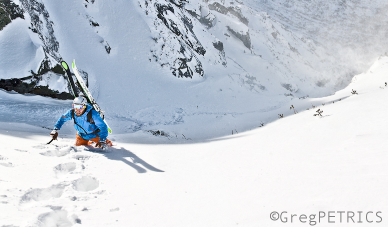
Click the picture or here to read A Tale of Two-to-the-Two Chute Schusses


