TR: VTah Part VII — The Merriest Snow on Earth!
Twas the night before deepness, and all through the mounts,
not a creature was stirring, not even a moose.
The ski-socks were drying, by the wood-stove with care,
In the hopes that Ullr bringer-o’-upslope soon would be there.
Click the picture or here to read VTah Part VII
On the 13th day of Xmas, my true love gave to me, 13 inches of powder….
I mean maybe.
Update: Friday at Noon.
MAYBE NOT….This storm has already deposited 3-5 inches of snow in the ADK/VT as the warm front passed thru last night. However its really NOT behaving as modeled.
A much stronger low than expected has developed and is tracking through southeastern NYS. This low can do two things. One, pull more warm air into the east side of the storm and 2, pull more cold air into the west. Which it is kinda doing. Right now it looks like in the next few hours we’ll see everything east of champlain go to all rain and stuff to the west start to mix with all slow occuring in franklin county and the western ADK.
It’s what happens NEXT that still is unresolved. There is still a very strong upper level low over the great lakes. What happens when that passes is really NOT being handled well AT ALL by the models. They are too dry compared to historical data. But it’s possible we’re just not going to get what we should get. Stuff happens. Lets see where we are by tonight though before we make any conclusions.
End Update
This weekend is shaping up to be a great skiing weekend as a multi-part storm complex is headed our way.
Beginning today- Thursday- we’ll see increasing clouds as a powerful low pressure system moves our way. This low is beating up the Midwest right now and move northeast into western NY by this time tomorrow. Ahead of the low, towards us, a warm front will push over the region.
See here:
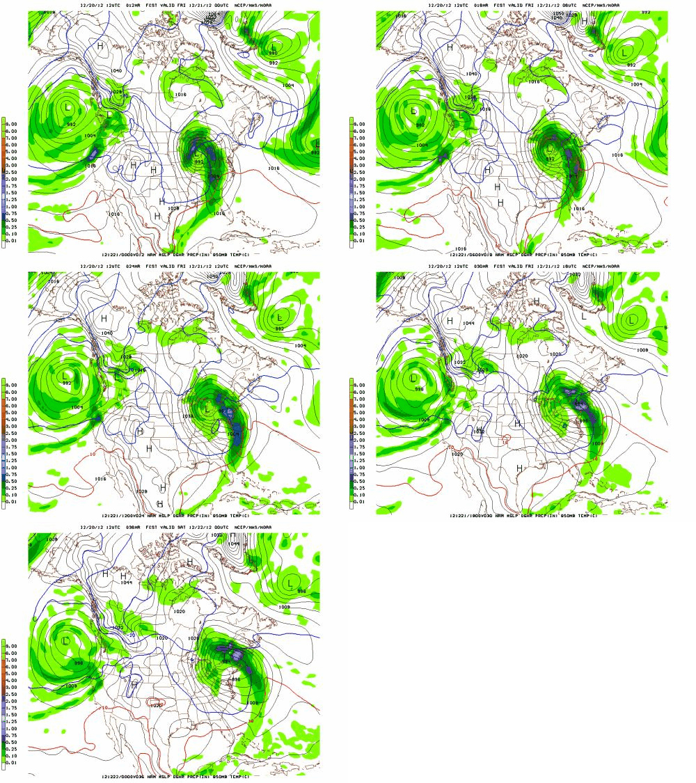
With cold air in place we’ll see the warm front bring some wet snow to the region overnight Thursday. Warm air advecting (moving) over us in the wake of the front will change likely change much of that snow over to a mix of sleet, freezing rain, wet snow as we move through Friday.
Taking a close look at temperature profiles around the region indicates that we’re going to see micro pockets of areas that stay all snow and some that stay mostly rain. The best shot at staying all snow thru Friday will occur in the ADK as a secondary low looks to develop near NYC. That would force more cold air into the ADK and keep it mostly snow.
As the storm develops a dryslot will move in Friday night and give a slight break to the precip. Then the fun starts again as a vertically stacked low (combination old and new lows) drifts over the region.
See Here:
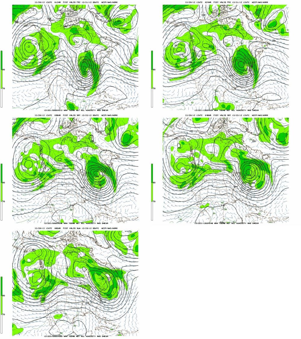
Time/height data supports the development of heavy orographic snow showers as this moisture laden low moves northeast over the ADK and VT. Starting Saturday morning the effect of this low, and air flowing over the mountains will result in steady, periodically heavy mountain snow showers. Heaviest totals from this portion of the event will occur in Vermont.
Snow showers will continue thru Sunday morning. A reinforcement of cold air will move in Sunday and so the snow should finish as pretty light fluffy stuff.
Last year, a storm very similar to this one occurred on Jan. 14-15. In that storm areas collected event totals in the 6-16in range. I’d expect similar totals from this event. I know that is a pretty wide spread but that is going to happen in these multi-part storms.
Friday AM updat
Models are coming in drier than expected with this storm and are shifting the snowiest upslope area away from the Nor. Greens down to to central Vermont. Not sure if I believe this. Climo says this wet low drifting over the Nor Greens makes pow. But you gotta also listen to what you are being told. Prob. wise for me to adjust the Nor. Greens to something like 4-8 of upslope snow and leave the heavier totals for central VT and the ADK.
Also, since people have asked…the whites will fare less well. Stays on the warm side longer and the upslope dynamics are that great there. Prob. a 3-7 inch snowfall there.
Also, people have asked about how Canada will do. Particularly Le massif and Mt. St. Anne. Over the next 48 hours it should dump pretty hard there. With a S/E flow for the start of the event, the east facing slope of Le Massif could generate some real added lift and up precip values there.
High res models show quite a bit of moisture. I think it is slightly overdone. Nevertheless I think Le Massif could get 12-20 inches of wet snow with sleet mixing in.
Sutton will be similar to Jay.
End Update
Following this event, we should see fairly stable and nice conditions thru Christmas day. Perfect for getting out and enjoying the new snow/avoiding dealing with the cat poop in the Jello. Fixed the newel POST!
Happy Holidays.
Attention Ladies and Gentleman…
Attention ladies and gentleman. This is your captain (skin-track breaker) speaking. I’m happy to inform you that we have ascended to the powder-snow altitude, and so I’ve gone ahead and switched off the skin-track light.
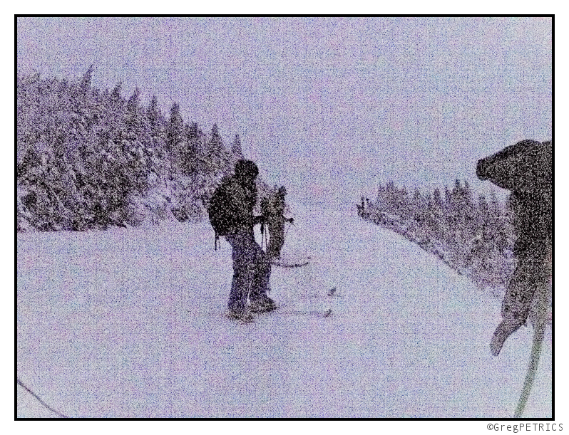
Please feel free to schuss about the pistes.
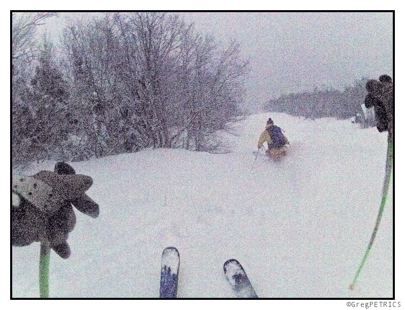
We’ll be coming around the pistes with complimentary soft-snow shortly; spirits and whine are 5 dollars.
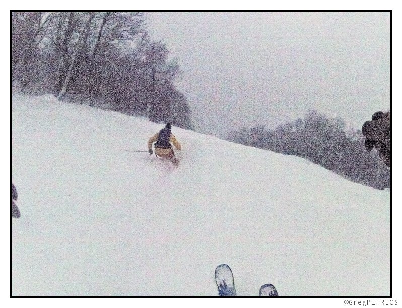
We’ll be descending back to reality in about 3 minutes, so sit back, relax, and enjoy the ride. It’s the only thing that matters.
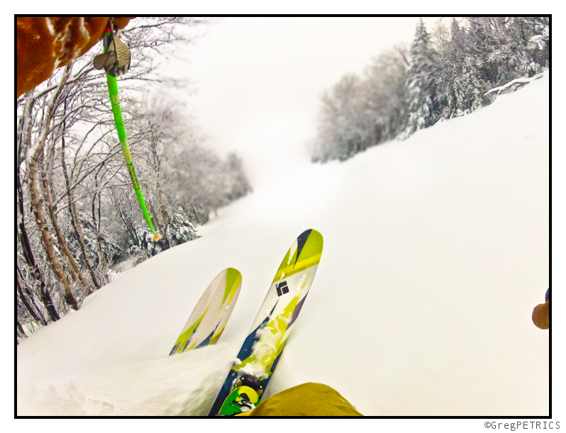
We know you have many options in choosing a schuss-weapon, but we hope we’ll descend with us again. Sincerely, The F.I.S.
Double Trouble. Two possible winter weather events in N/E (Monday AM Update…Still with UTAH content)
Monday AM update. (Again UT update is on page 2)
I’m sick. I’m angry. I had to miss what was prob. a great dawn patrol today. My head feels like it is in f fishbowl. I blame this jerk. Carbonara. My ass. More like spagetti with flu sauce. Accordingly, I’m going to keep this short and terse. (Oh and if you ask me how much Magic is going to get, I might find you, hunt you down and kill you with a whippet.)
A warm front has moved through. It sparked a quick burst of snow early this am. Total snow in the ADK is 2 inches or so and in Nor VT 4-5. NH and ME did better. As I said below, the placement of the warm front meant these areas would stay colder and more favorable to snow. NH is roughly 4-7 and Maine resorts 4-8. Some more is on the way for these areas as well.
The rest of the story plays out in two parts. First we have today. Currently the Northcountry is stuck in the boring warm sector of a storm. Were going to see some warming temps and lighter mistier type precip throughout the day. Temps in the mountains should hover around freezing with pockets staying below freezing. Light sleet or snow will be the most likely preip type through today.
Then tonight through tomorrow a second low pressure will develop. I talked about this below as well. Right now it looks to develop and track inside the coast. This will mean we’ll see some warmer temps and a little more mixed precip. It will track over the north country on tuesday and then deepen to our east tues night-wed am pulling colder air back into the system. So Wednesday looks to be the best day for snow out of this system. The totals for that period will prob. be in the 3-6 range as well.
Adding one last thing. I think the high whites might make out VERY well. Per thermal profiles I think areas above 4000 feet will get a solid dump of thick, heavy mixed precip. The summit of MTW could see something like 8-14 inches of thick mixed precip….which might be the high total for the event.
END MONDAY AM UPDATE
UPDATE….for Utah Content go to page 2
For the Northeast, model runs are looking less favorable to zee pows. Current model runs have continued the trend in the last 24 hours which is to introduce more warm air into the system. We’ll still see snows breaking out at first as the warm front passes tomorrow. But with more warm air intruding we’ll see greater chances for sleet, freezing rain and plain old rain sunday thru monday. There is still the chance a secondary coastal low develops but that is looking warmer as well.
I caution though that this whole event is very “nowcast-y.” There are number of interesting variables that seem to be coming into play. I personally think any forecast that doesn’t admit the low confidence is foolish. This storm is messy. I feel like I’m on solid ground with a forecast for light snows changing to sleet, freezing rain and rain for the ADK and VT, the same story with more frozen stuff in NH and maybe all frozen stuff in Maine…at least through monday am. Beyond that there isn’t much to say. I wish I could say more but there isn’t the data there to support any more concrete conclusions.
End Update
Beginning Sunday and extending thru Thursday of next week there are two possible winter weather events for the Northeast.
I’ll begin with the event Sunday (how reasonable of me).
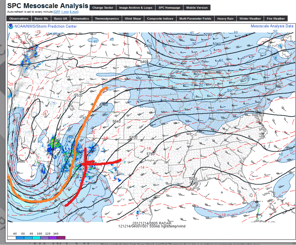
Currently a 500mb trough has moved into the desert southwest. The associated surface low is over New Mexico (where it is no doubt getting some blue):
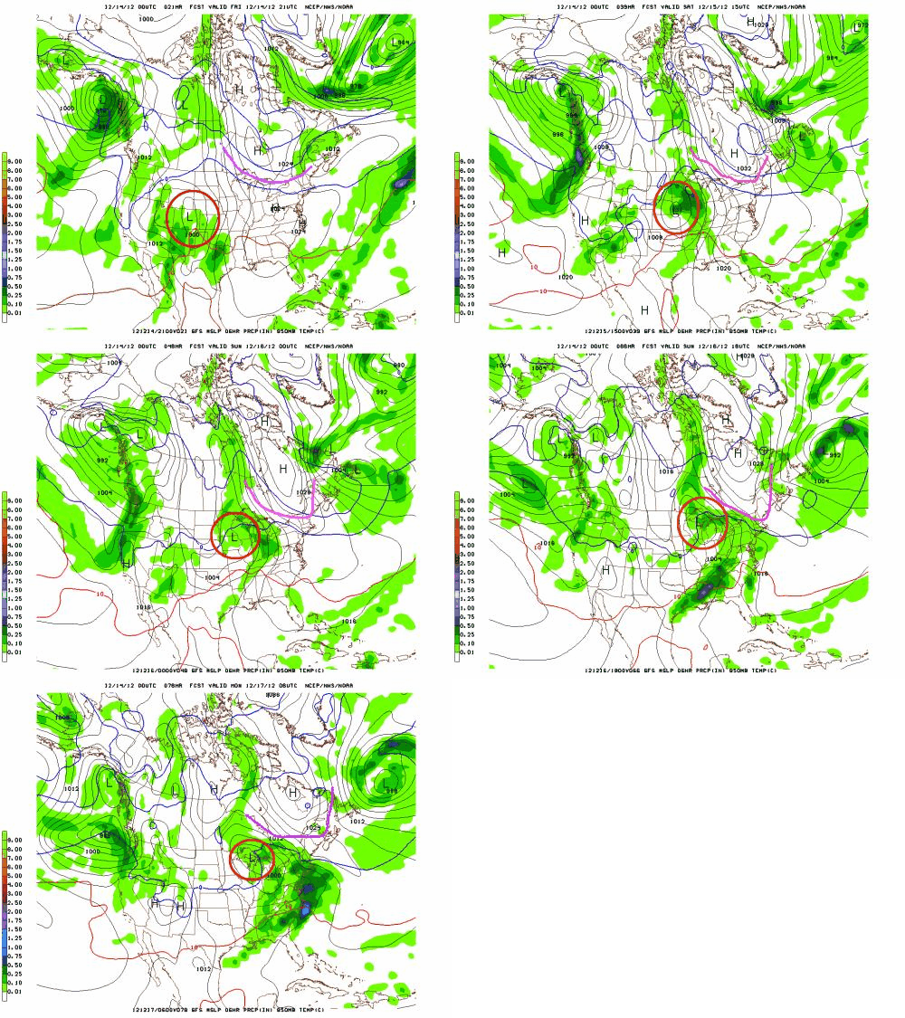
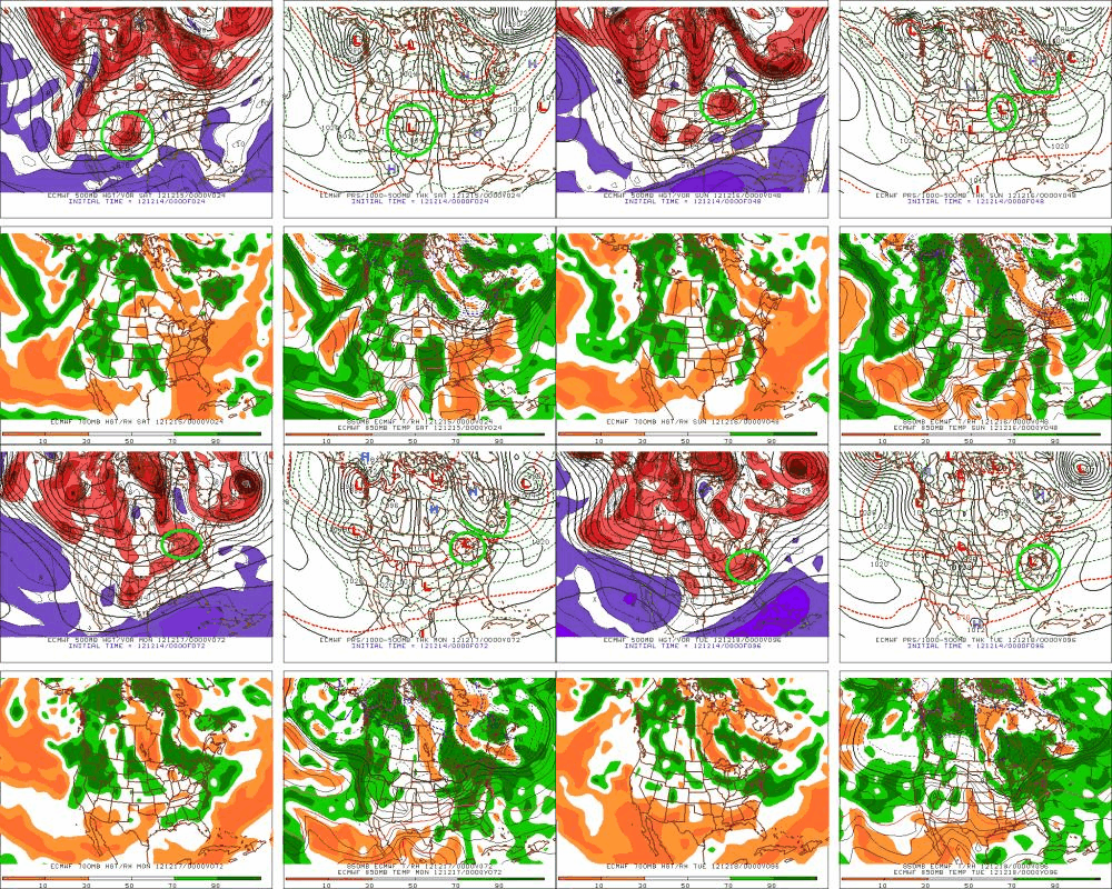
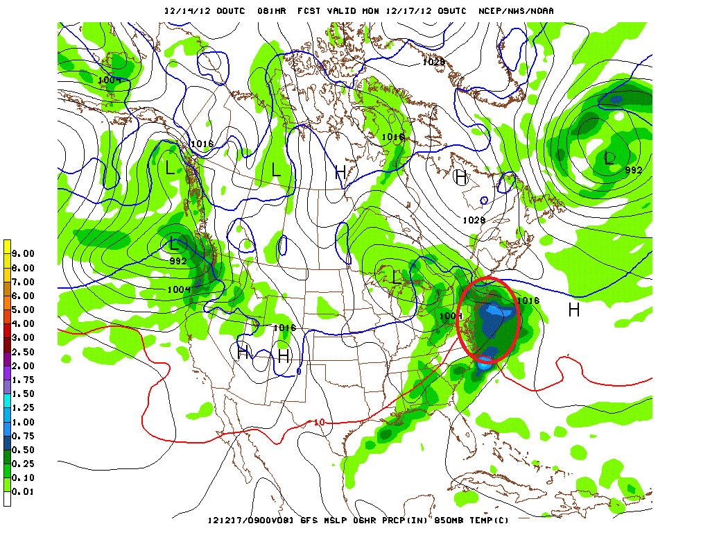
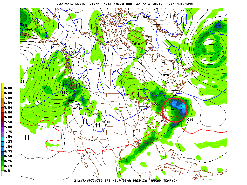
All major models agree that this surface low will track east, northeast bringing a chance for some snowy, messy weather in the northeast. The GFS and EURO models are very consistent with the general track of the system. As you can see in the animations below the surface low will track east and then turn towards the north. (The low is circled in red). The pink/green line represents the southern boundary of a departing high pressure system to our north. It plays a key role in this forecast which is discussed below.
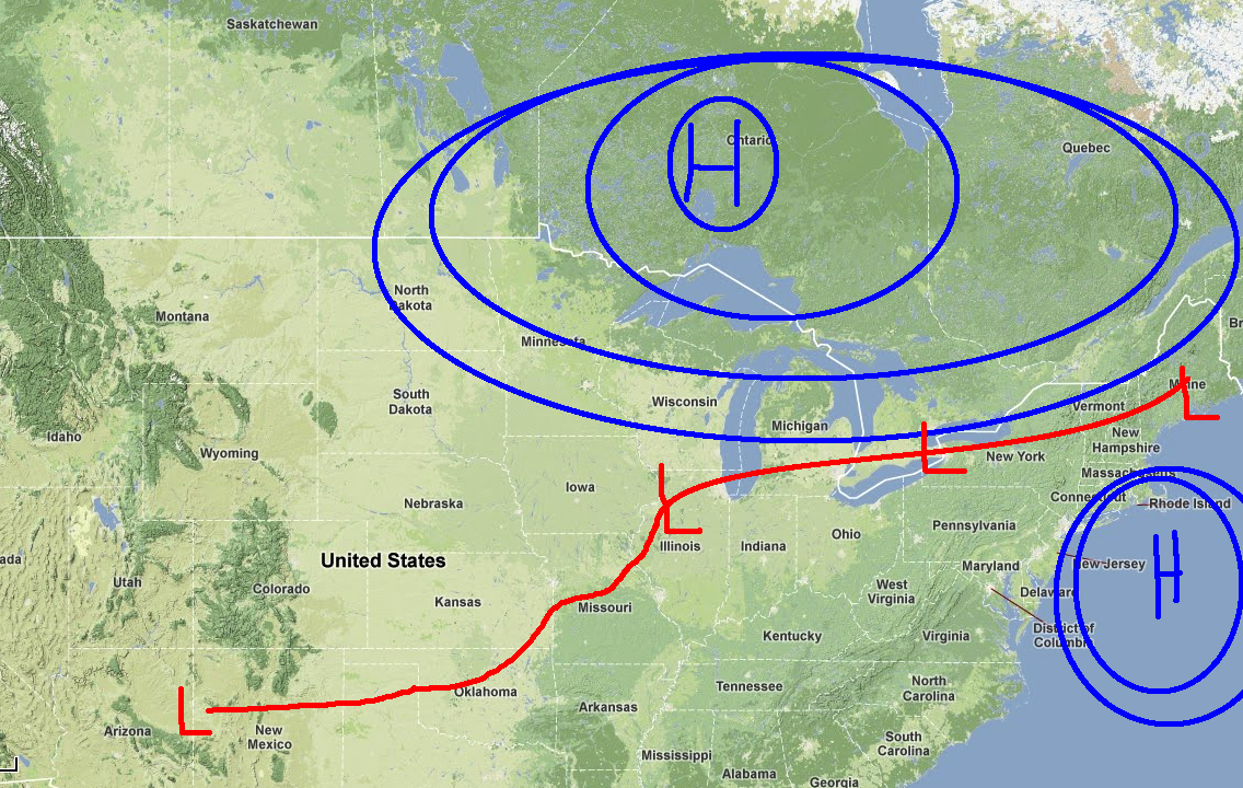
Now, back to that departing high pressure. Previous model runs had held that high pressure solid to our north. The presence of that high would have shunted the low more east than north. The low would have taken a track more towards southern NY state as diagrammed below.
This would have been more exciting. Now, as we look at the animations we see that this high actually departs to the northeast, allowing the primary low to turn into the great lakes region, placing the N/E in the warmer sector of the storm.
The result is that we’ll see more isentropic snows as warm air flows north in association with the parent low’s warm front. Such isentropic snows can be actually pretty robust but that doesn’t look to to be the case right now. As of now it looks like we’re going to see overall qpf totals in the .5 of an inch range across much of the north country (That’s #ADK, #NorVT).
You’ll note that I haven’t given snow totals yet. There is a reason for that. Complicating this forecast is the possible development of a second weak surface low pressure towards our southeast (along the coast). If you look closely at the images below, and the animations you’ll see the birth of a small weak low along the coast.
GFS:
The NAM model also shows this system. However unlike the GFS the NAM allows this coastal low to enhance cold air advection from the north. As a result, the column of air over Nor. VT and NH remains more conducive to mostly all snow. If the GFS solution is accurate there will be more sleet/FRZ drizzle and possibly rain mixed in throughout the region.
Blending all of this together is tricky. Forecasters all over right now are struggling with exactly how to resolve these somewhat competing solutions. My take? I think 2-6 inches of snow will result from this system when all is said and done through the #ADK and #VT. I think snow will break out Sunday as the warm front moves in and amplify overnight. Sleet and freezing rain will mix in with some plain rain as well as we go into the day Monday. NH looks to do slightly better and stave off some of the warm air intrusion into its air column. I’d expect some of the higher terrain there to end up with 4-7 inches of snow/mixed precip. Maine may be the ultimate winner here as it looks to remain cold enough there for this to be an all snow event. Maine’s issue however will be moisture. If the coastal low develops a little too far east it will cut off the precip to northwestern Maine (or wherever Saddleback and Sunday River are).
As the higher resolution models come into range later today, and tomorrow I’ll update this. So make sure to check back with me here.
We’re not done. There is more. This post is called double trouble for a reason.
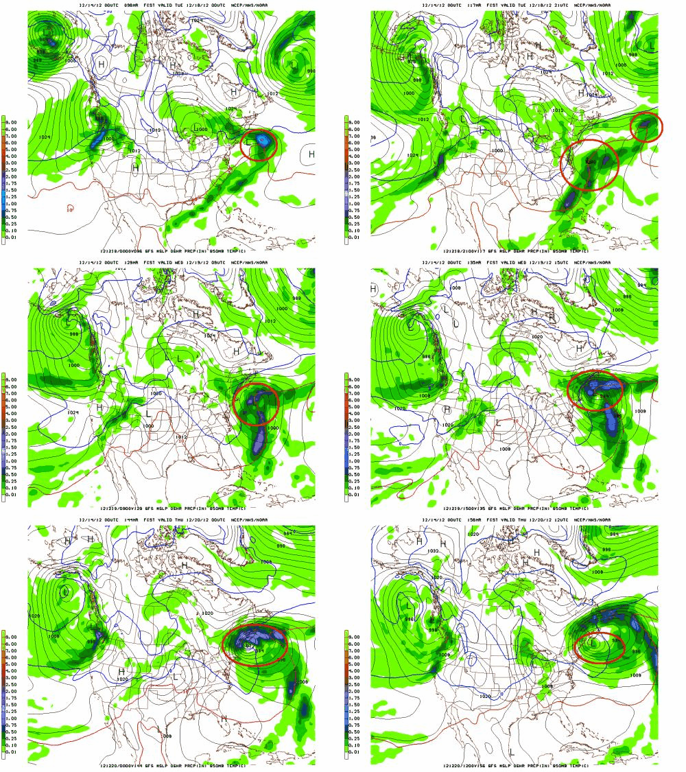
As the period goes forward, a cold front will push to the coast sometime on Tuesday. At about the same time a 500mb shortwave will pass over the front and likely spark surface cyclogenesis. From there there is significant model confusion over the solutions.
The GFS creates a pretty strong coastal low:
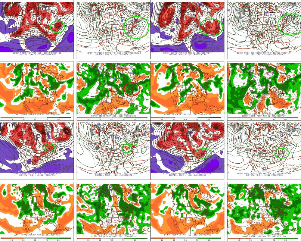
The Euro HAD a similar solution but has started to lose it. The model seems to focus on amplifying a secondary wave more closely associated with the parent low discussed above. It then tracks that low to the coast.
It then tracks that developed low more inland, bringing larger chances for snow to the interior N/E. Of course it could also slide out to sea which has been the preferred solution so far this year.
Well that’s it for now. I think that’s enough. Most of you aren’t going a) read all of this or b) get this far. For those that do, I’ll reward you with this. if you didn’t make it that far, it’s all good. GGR. Have fun and I’ll see you out there!
On Being Beholden of Beholdin’ Golden Dawns
It’s hard not to be beholden of golden dawns. What is this primitive instinct of ours? What is our sense of aesthetics that causes us–almost universally–to be taken aback at the sight of early morning light?
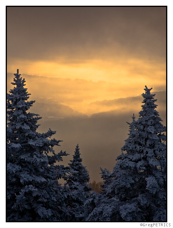
Perhaps something about the contrast and the brilliance of a morning sun triggers some homunculus inside that tells us: “a new day has arrived on the calendar… do something with it!”
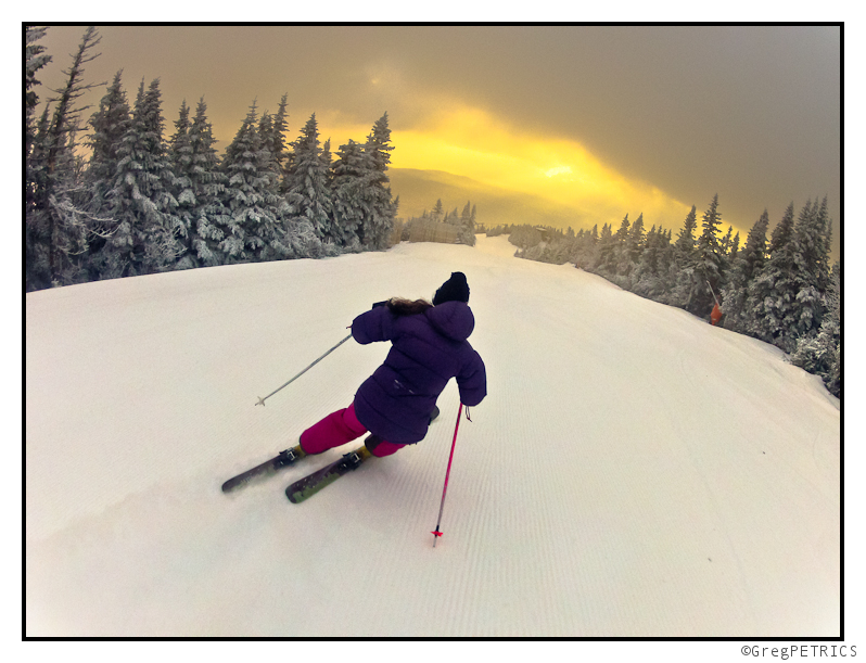
“Hunt a meal! Finish your homework! Schuss a piste! Buy a calendar!” ;)
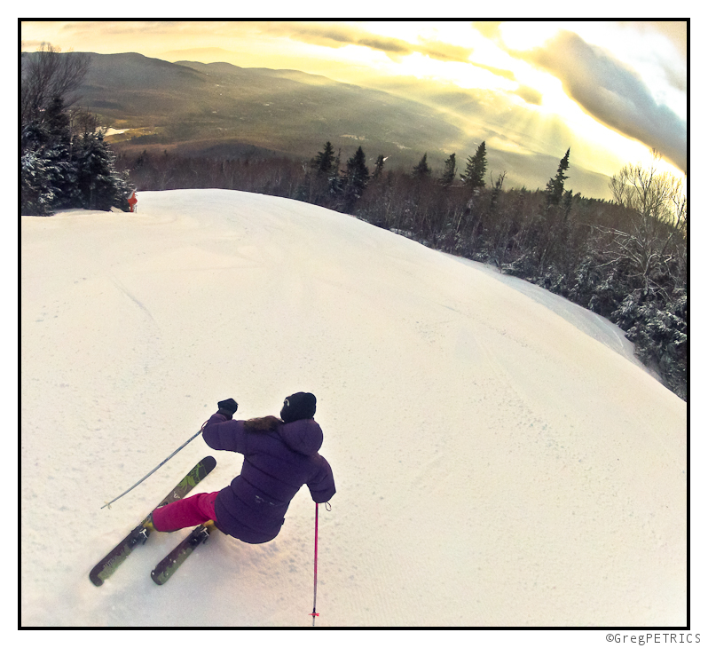
Whatever it is… I believe it is a universal feature of our consciousness… and I like it!
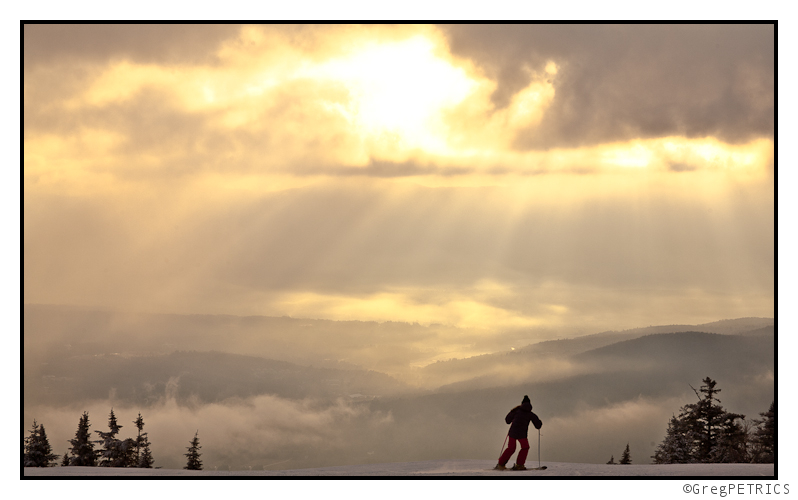
Thanks for reading FIS! We hope you are beholden to beholding golden dawns too! (Incidentally, another great rhyming word that would have been appropriate in the midst of “Beholden” and “Golden” is “Colden” ;) )


