West Coast Reporting In
Winter has gotten off to a slightly late start here in the PNW but now that it is here it has come into full swing.
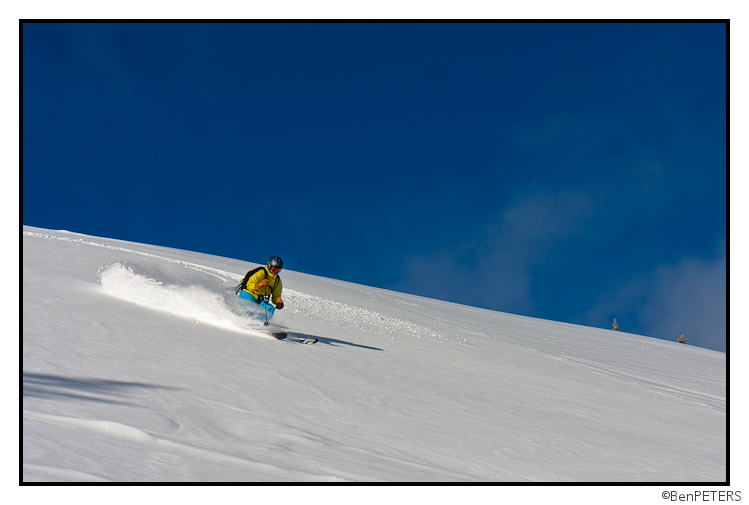
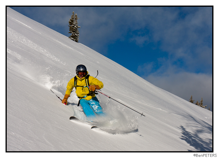
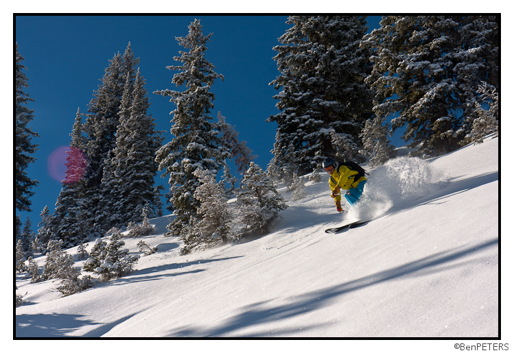
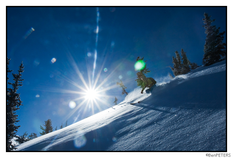
My first Day of the year with Tyler in the backcountry near Crystal.
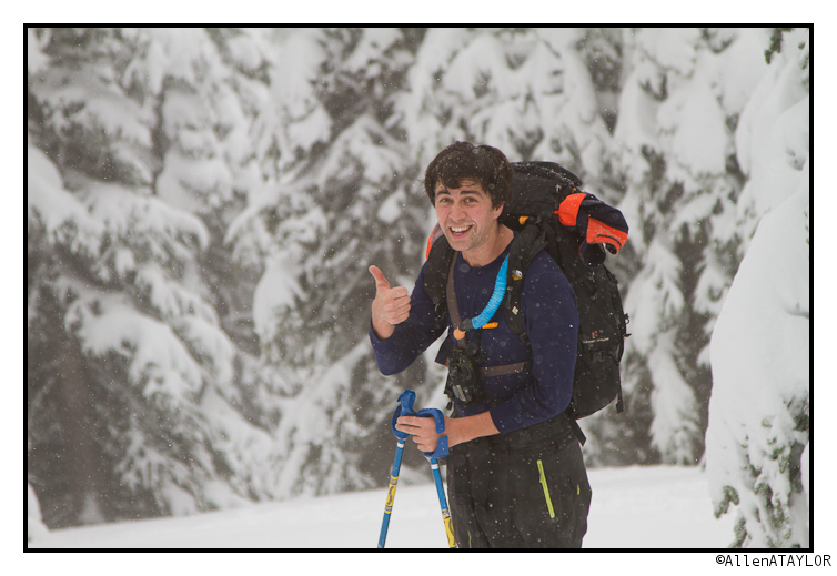
First day of the season on a 60 inch base.
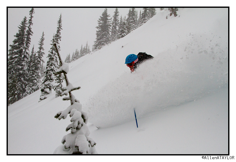
The wind was whipping up on the ridge and the whole experience felt very wintery.
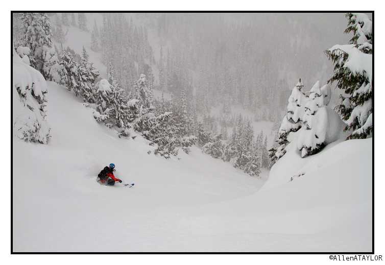
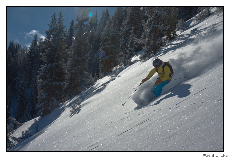
Yesterday we had planned to ski Backcountry near Steven’s Pass. It looked like there was a little more moisture headed there than the southern and northern areas.
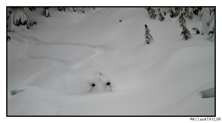
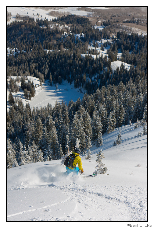
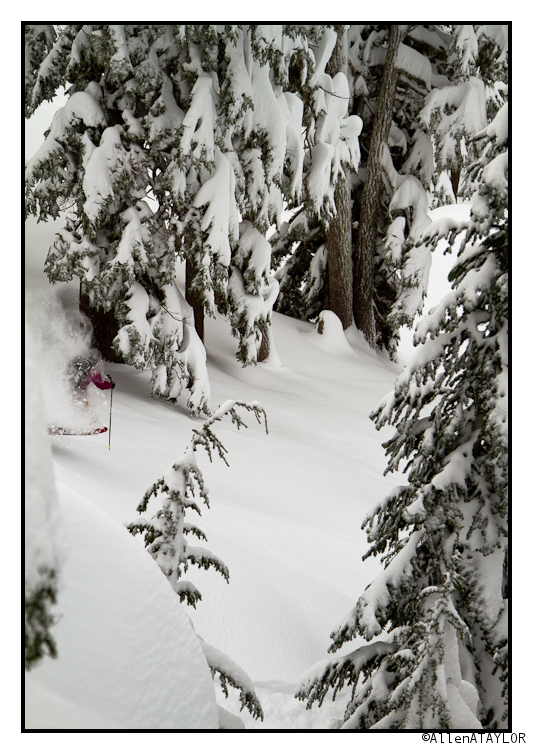
“A little more” ended up being the mother of all convergences. The storm had dropped 40″ of fluff. It ended up being some of the deepest snow Brian, Tyler, or I had ever skied in Washington.
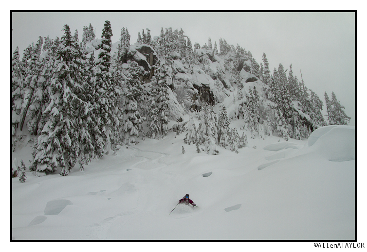
I have never had such a spoiled start to the season.
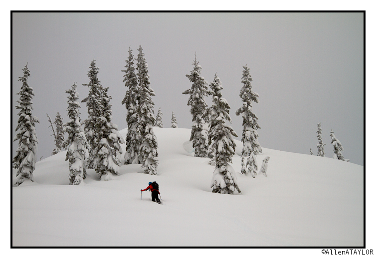
Trail-breaking was a little tiresome but not as bad as it can often be out here.
Brian and I have a special kind of luck for finding good snow on days when Sam has to work.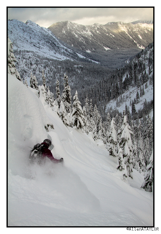
Now its time to pack for Thailand, I’ll be spending the next month climbing. I’m sure it will be a great experience but there is no doubt that when I check in on the ski conditions I will feel a few twangs of envy.
Terrible Pattern in Utah
Since Brutus, the weather gods have not been kind to Utah. With a large vortex set up in the Gulf of Alaska, the prevailing storm track has pushed one wave after another in Northern California, Idaho, Montana and Wyoming. Stuck to the south, Utah has been under a persistent flow of warm air from the southwest. This is the least favorable pattern for UT. What does make it to the Wasatch is either a moisture starved cold fronts or an overly moist shortwave with snow levels as high as 9000ft.
Ewww….who would want to ski that? Well sometimes the answer is you just gotta try stuff.
I mean, this pattern has just produced NO skiable snow. It’s all been cloudy humid days with wicked crusts
and none of the soft fluffy powder Utah is know for:
My advice, stick to the groomers.
I mean you wouldn’t want an unexpected powder day under bluebird skies with good friends would you?
And now its dumping…8 in the last 8 hours, 12 within reach….
More Kinda Interesting Weather (Updated for Mon 12/10/12)
MONDAY 12/10/2012 AM UPDATE
Well it’s raining on the Beast Coast. For now. Today, a low pressure system will track over the Great Lakes. The associated warm front is just passing through northern VT right now. This will place the N/E in the warm sector of the storm. Temps will spike for a period today with strong southwest winds. Tonight, temps will crash back again as the cold front associated with the low passes through.
Higher resolution models shows 850 temps getting to around 0C sometime later tonight. By 1am all major models show temps at or below freezing through about 3000ft. At that point the winds will have turned and should be coming from the W/NW. The reamaining moisture in the system will flake out. I think, if this plays as the last few of these storms have played, we’ll see 3ish inches of snow by morning from 3000ft upwwards. There will likely be a few pockets above those totals along the spine of vermont in favored locations.
The system is progged to break down over the day on wednesday. Though I think we keep lingering periodicly intense snow showers going much of the day. Water totals are in the .5 to .75 range for the “snow” period 1am Tusday thru 1am Wednesday. I think those are reasonable numbers. When the pattern does break down and the snow showers stop 3-6 should have fallen with elevated pockets.
Now, there has been some rumors on the models of a second wave of low pressure developing to our south along the cold front. If that were to happen we’d see cold air advance faster and substantially more snow. I will watch closely for this today and keep you updated.
END UPDATE
I know we all like it when I start putting the VTah tags on posts or when I start talking about moisture flux from the Great Salt Lake. But not every period of weather supports such gawdy words. Sometimes, there is just weather. Good old fashioned weather.
Overall, the pattern will be dominated in the nearish term by a low rotating off the coast of Alaska and BC and a storm amplifying along the Canada/US plains border along with a broad upper level trough stretching across Wash/Oregon/Idaho/MT.
Put all these features together and the primary axis of snowfall will be the Pacific Northwest as one wet distubance after another ripples along the edge of the trough. Snowfall in these areas will be steady over the next week with several feet piling up in many locations when all is said and done.
I mean look at the total water eqiv precip predicted thru sat. am:
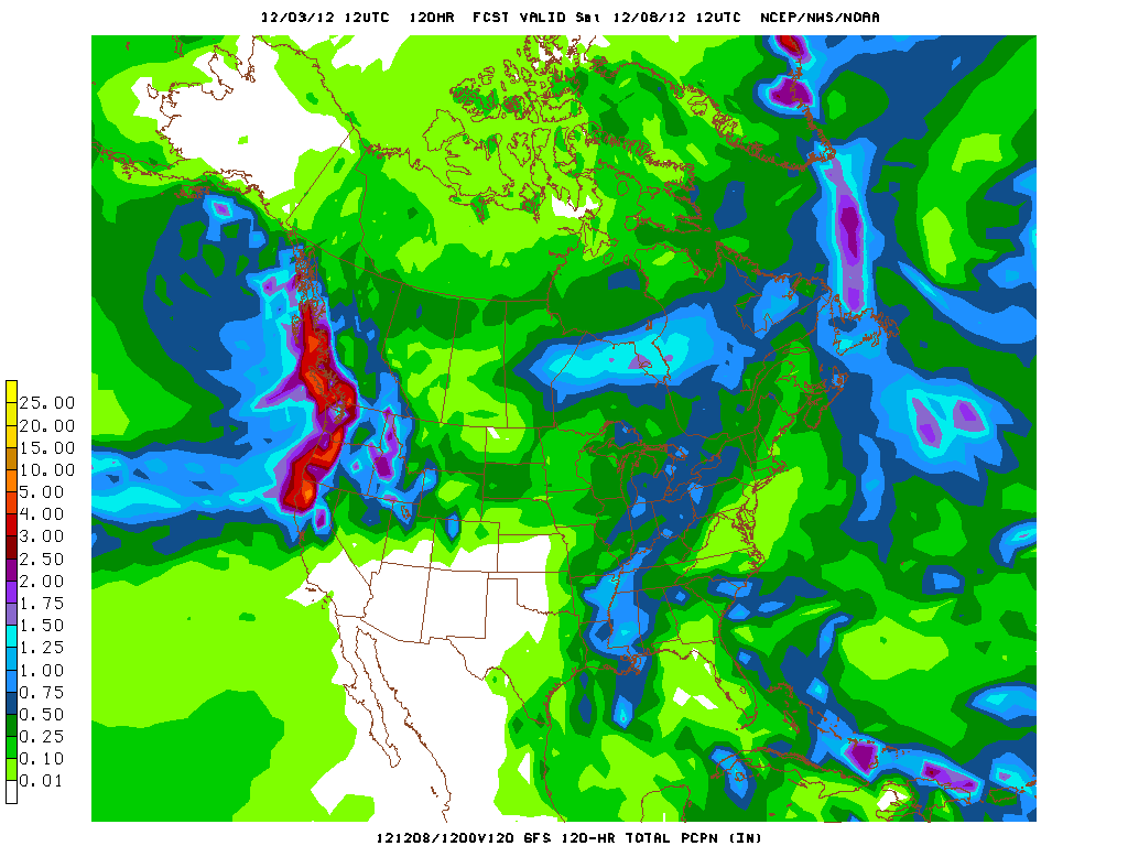
Simply put, that’s a LOT of snow in the PACNW, ID and Jackson region. However, given the moisture feed and temperature profile I’d say Jackson Hole is the place to be:
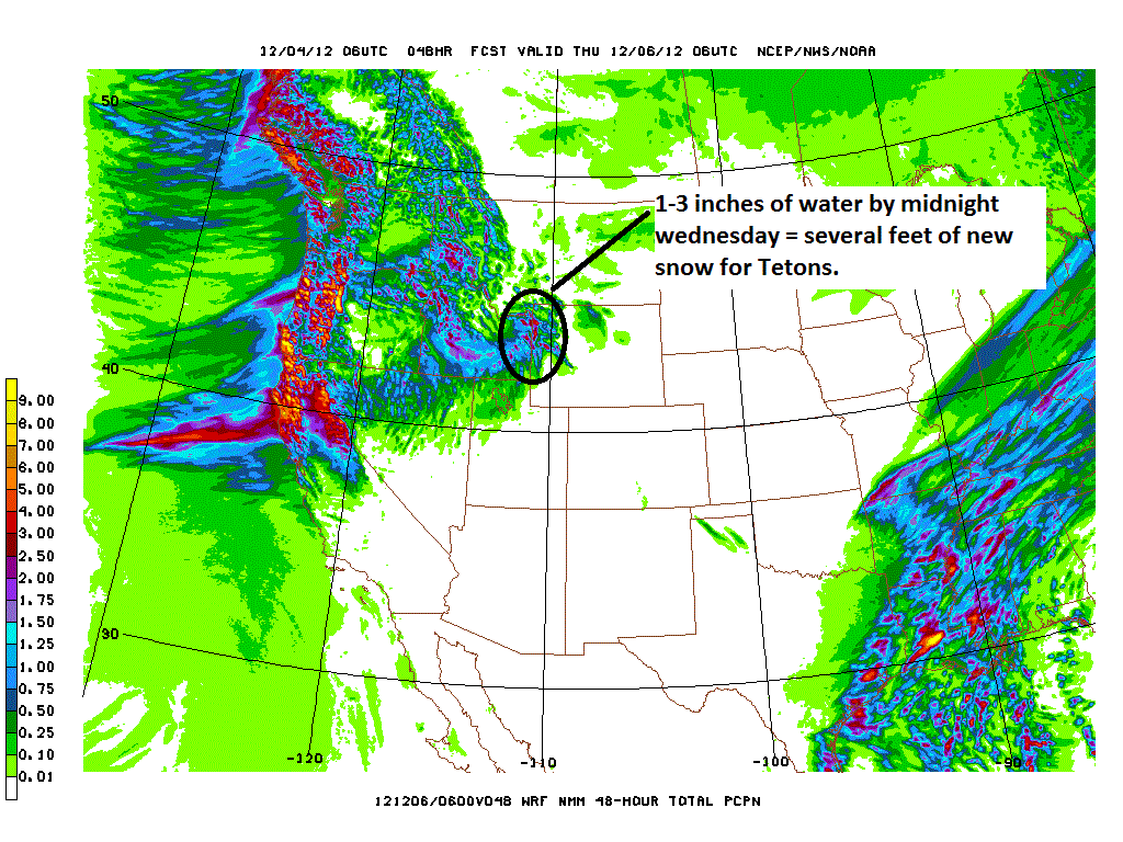
Another 1-3 feet should fall from the latest impulse by sometime wednesday and then another stronger wave will move in later in the week with similar robust totals.
On the east coast, we’ll generally see above seasonal temps as the aforementioned low deepens to our west/northwestand tracks to our north. The flow around the low will pump warm and humid air into the region with a brief, but much appreciated break tusday night into wednesday. At that time a little transient trough of cold air will slide through. The dynamics of the front look promising for a rain to snow event that produces a few inches of snow along the favored higher terrain of NY, VT and NH.
In the wake of the front a cool northwest flow will developed. Modeled data suggests we’ll have favorable conditions for orographic snowfall wednesday into thursday.
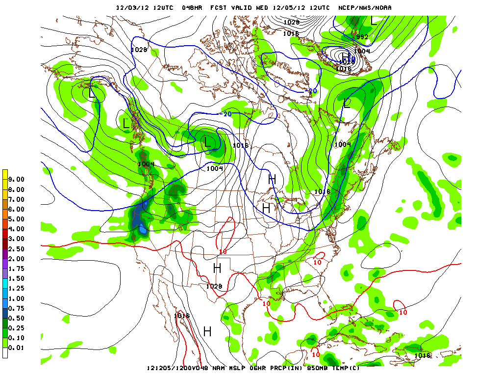
Esp. as the associated -10c isotherm pushes thru Wed. am…
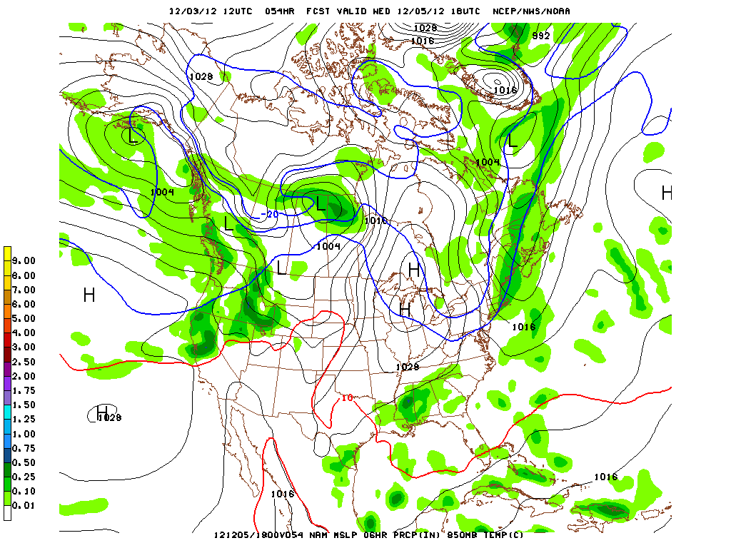
At that point we’ll really see the dentrites develop and the snow that falls should be nice and fluffy.
We’re too far out to pull the usable high-res model QPF data. But when we get closer I’ll put it up. I’d say another few inches are possible from the period of “upslope snow.”
There is some real confusion beyond this little trough. The Climate predicion center has the AO going negative, the NAO going negative and trending towards neutral over the next 14 days while the PNA goes positive. That would overall support below average temps and more cold storminess in the EC. However, the models are now showing a warmer pattern with the mean storm track to our northwest, keeping the EC in the warm sector. That just doesn’t match up to me. So I’m throwing all the model data out if it extends beyond 12/10 right now.
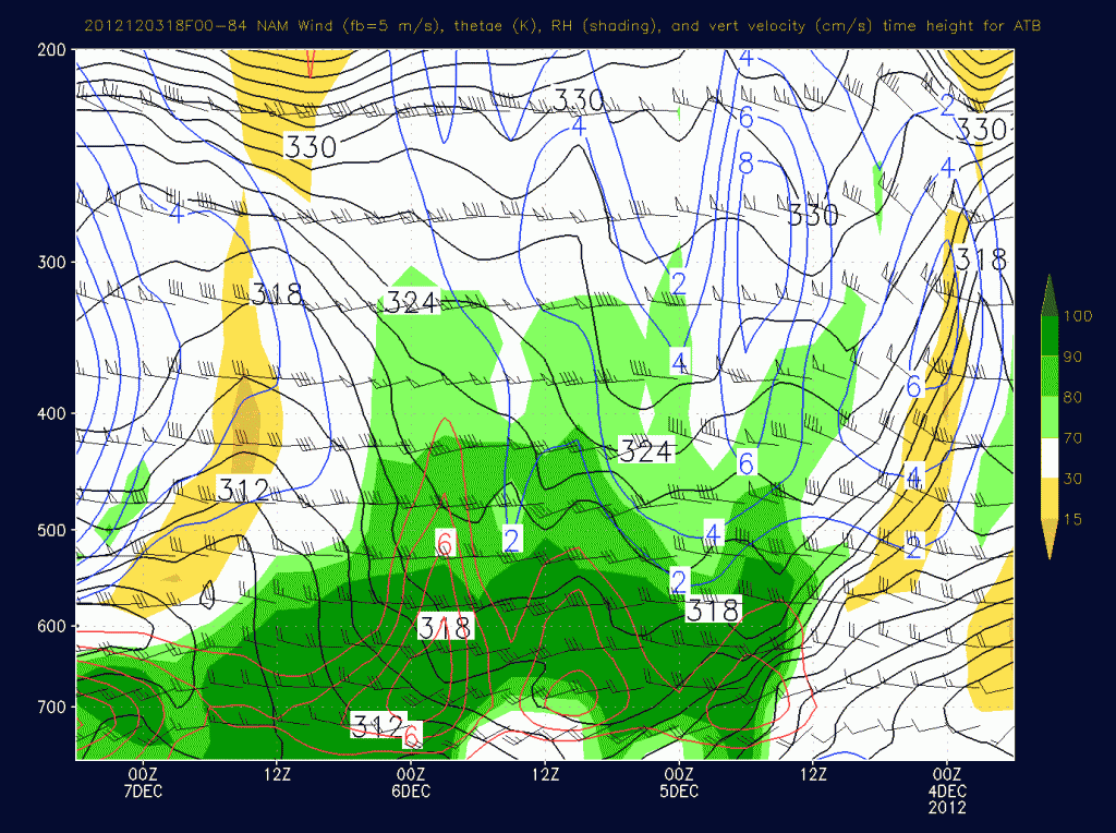
Out west, aside from the “take-a-number” deli line of storms for the PACNW, the pattern will feature a rather moist southwest flow. While the main action will be to the north, Utah will see a weak cold front drape across the region tuesday and with a stronger cold front on wednesday night thursday. The latter event is beginning to get interesting. Time height data shows not just a robust front (like the one UT just saw Sun-Mon) but also a period of sustained orographic lift as a moist west/northwest flow develops:
Were that to happen the front would go from a 4-8 event to a 8-14 type event for the Cottonwoods pretty quicky. Forecast confidence is pretty low on this system right now, but it’s growing. It was progged to stay north last week but has steadily dropped through UT for a few model runs now. I’ll watch it for another 24 hours before I say anything more.
The Romp of the Pow-fa-hoofii
A mysterious beast of legend protects our mountains’ pow in the northeast: The taciturn Pow-fa-hoofus. Don’t be confused with its closely related, but entirely different relative the Wampahoofus. This fiend is a distinct creature with all its own habits and rituals. Patrolling the mountains only on nights around the time when the moon is both at its apogee and full, and only when powder snow blankets the hills, the Pow-fa-hoofus protects our mountains by devouring the blood of skin-track-booters, line snakers, and skin-track-booter-complainers (the pow-fa-hoofus believes you should just devour their blood or shut up). Utilizing snowblades mounted with three-pin bindings, and skins made of actual skin, they are a beautiful and deadly element of the fauna in the northeast.
For all my years, I’ve always wanted to peak one of these paladins-of-the-pow, and so when I observed that my astronomical calendar (hint: BUY!) indicated the moon nearing both apogee and full, and with Lionel forecasting pow, we decided to continue our series of several sunrises in the hopes of spying a Pow-fa-hoofus. For three days our efforts were futile, but on the fourth we were rewarded with a sighting of not one, and not two, and not THREE, but FOUR Pow-fa-hoofii out for a romp. I apologize for the grainy quality of the photos that follow, but since these creatures retreat to their dens at first light, its impossible to capture quality images of them in their habitat.
As we approached the first of the bunch–a male–he schussed silently away, indifferent to our presence. Either we went unnoticed, or our behavior was approved by the beast, and did not warrant our blood being devoured.
The second carefully farmed the snow so as to preserve as much powder for as many as possible. While savage and brutal to those who are deserving of their wrath, the Pow-fa-hoofii have a moral code which is apparently highly developed. Splendid!
The third–the lone female of the hoi polloi–exhibited behavior resembling that of her Wampahoofus relatives. In the case of the Wampahoofus, the females only go around the mountains anti-clockwise whilst the males traverse them all clockwise. In the case of the Pow-fa-hoofus the difference is in the turns they make; the males make only left turns, and the females make only right turns. FANTASTIC!
Finally, as the sun neared the horizon, I was able to catch one fleeting glimpse of the fourth (a male) hustling back to his den. Look at him go!!!
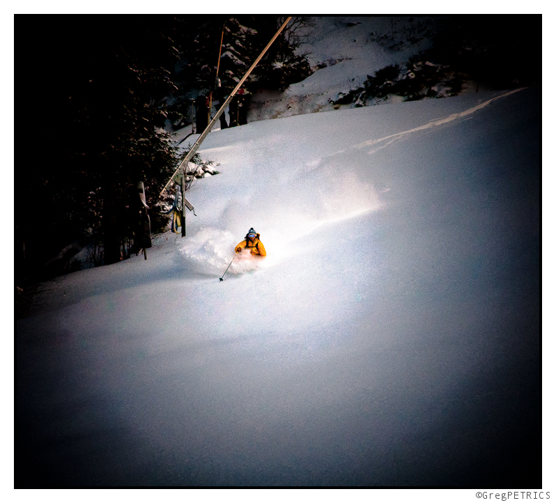
This will be a morning I will not soon forget: all within the span of a short hour or so I sighted four Pow-fa-hoofii schussing their beloved pow. Beautiful and mysterious; silent but deadly.
Weather Outlook for 11/28 thru 12/10 (Updated)
Lots to say, lots to say.
Starting with the East:
Since Thanksgiving weekend the northeast has been in a favorable pattern. Weak high pressure centered overhead and derived from Canada has kept temps cool. At the same time a number of weak disturbances have rippled over the region. These ripples sparked snow showers Monday morning and tuesday afternoon. Following the 6-7 inches the higher terrain recieved over the weekend, stuff looks downright wintry.
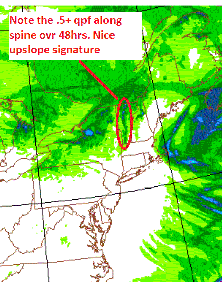
Going forward, the pattern will continue thru Saturday. As I write this a shortwave trough is poised to swing on thru the North Country overnight. It’s not too impressive per se but when you combine orographic lift, and a moist boundary layer, you’re looking a solid 1-3 inches across the Nor. ADK and Green spine by Thursday morning.
A mere 18 hours latter, the pattern will repeat itself. Early friday morning/late thursday night, a weak cold front will sweep through the region from the north. Again it isn’t that impressive on its own, but with very cold temps (-15c at 850 poss) and decent lift, we’re looking at another 1-4 inches by Friday AM.
Overall, the 48 hour totals are looking pretty nice:
UPDATE
Well, today panned out pretty well with a solid 2-3 inches overall. Now it looks like the little cold front coming throught might over perform. As it sits right now, ahead of the front there is a solid west flow. That’s pulling a decent amount of moisture off the great lakes. If that stays as is, this will enhance the snowfall along the ADK and Green spine. Possible that somewhere will pick up a very quick 6-8 out of this system if the moisture stream hooks up right…
Following that, Saturday will feature another round of snow showers as a warm front pushes across the region from the southwest. The news gets less good after that. On sunday, a low will move out of the great lakes in the wake of the departing high. Southwest flow ahead of the low will push warm-ish air into the region. Temps will reach into the 40s prob. at elevation. Some rain showers mixed with sleet are possible sunday into monday.
We stay warm till the middle of next week when the longer range models are hinting at some activity around 12/7-12/9.
Now, out west:
First, let me get this out the way: It gonna snow a lot at Mt. Shasta. I’m a weather geek. I like stuff that’s impressive. 40+ inches of snow in a 12 hour period is impressive. Mt. Shasta has a chance of seeing that much snow at least once, maybe several times this week. A powerful pacific low, spinning off the coast will eject a piece of energy that will slam the Cali/Oregon border. Higher elevations there will see a lot of snow.
That energy works its way northeast over time. It will bring with it steady snows to Idaho (several feet by the end of the weekend) and Montana. Further south UT and WYO will be somewhat cut off until later in the weekend.
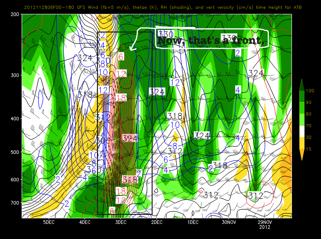
At that point- say Sunday- the trough will swing inland. It will bring with it pretty substaintial moisture from the ocean. (goooood). As the primary low tracks through ID and MT a strong cold front will push into UT. I tweeted a picture of what it looks like via a time/height series earlier today.
That’s one impressive front! I would expect that because of the incredible vertical velocity forecasted some of the precip that falls will fall as graupel. I also wouldn’t be shocked to hear some thunder as the front passes. With the warm air ahead of the system and cold air aloft there is certainly some convective potential.
Totals for the frontal system are uncertain at this time. Earlier in the week it looked like it would only be a weak 6 inch system. However models have progressed and now it looks much more robust. I’ll update totals over the weekend but I think something give or take 8-16″ is a reasonable guess right now.
Beyond that, like when the #omniten are in Park City (Porter, my jorts are packed. Got the Whiskey?) models diverage on the Western pattern. Some models hold the main jet north into Washington leaving much of the west high and dry. Other models move the jet south, keeping much of the west active and wetter. When I get a clearer picture of what will happen, I’ll also update.
So for now here is the Dr. JWJ summary:
East:
– Weak waves over next few days
– 1-4 each time.
– Overall 6+ by weekend.
– Warmer sunday. Few showers.
– Warmish start to next week.
– Pay attention next friday/sat.
West:
– Big Snows Cal/OR border.
– Wet for northern pac/nw weekend.
– Front for UT sunday-monday. 8-16 reasonable guess now.
– Mixed reviews for following timeframe.
In the meantime, you should support FIS by picking up a copy of our 2013 calendar over in the store. It will snow more if you do.

