Several Sunrises
Last week featured an epic high pressure system that hung over the (hungover?) north-east for days on end. Needless to say, in such a weather pattern, the chances of powder snow are slim-to-none. The FIS Eastern Bureau made the best of the situation though (whilst reading and drooling over the Western Bureau’s missives) by catching as many sunrises-from-mountain-tops-and-then-schussing-down-in-time-for-work as possible. Here they are (in order of appearance) with brief commentary.
Sunrise one saw us cruising on an inch of snow overtop some rock-hard manmade snow.
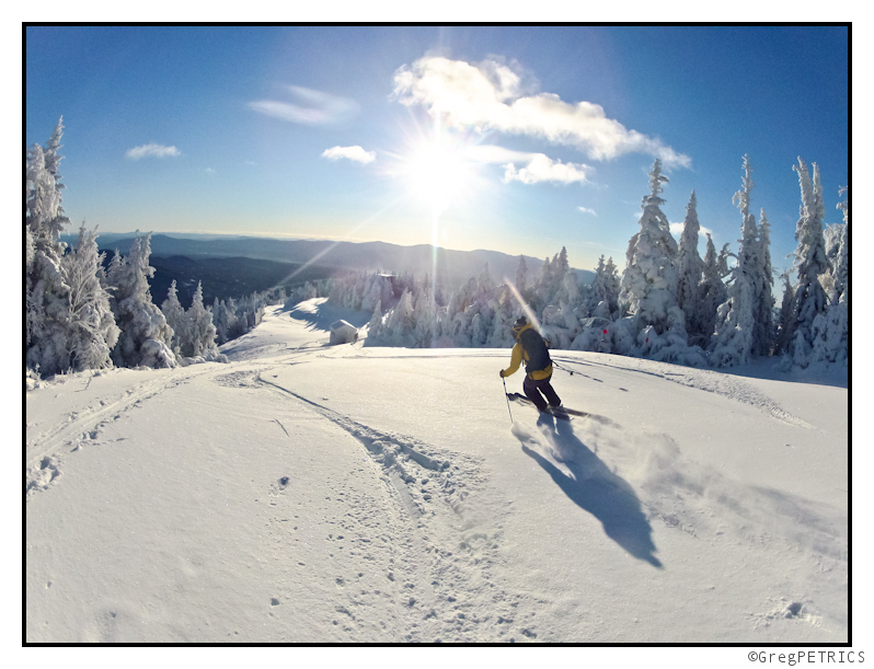
Sunrise two featured ROCK HARD snow after a warmup wiped out the aforementioned natural snow, and then was followed by a chilly night crisping up everything in sight. This is probably about as close to skiing on a corral reef as we’ll ever get!
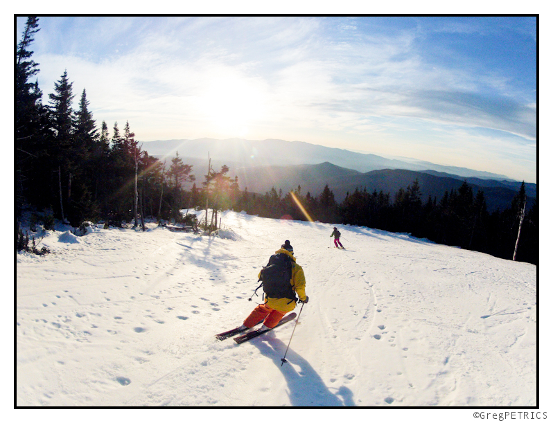
Sunrise three wasn’t really much of a sunrise at all. A very weak disturbance swept through embedded in the high pressure system, scouring out the warm air (noted in sunrise two), and dumped a ultra-thin veneer of pow for us to enjoy. (Hint: there’s a short video of this day for your enjoyment here)
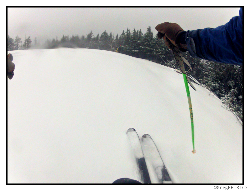
Sunrise four was cold and clear. With snow guns going, this was pretty fun. Storm skiing under azure skies? Wild.
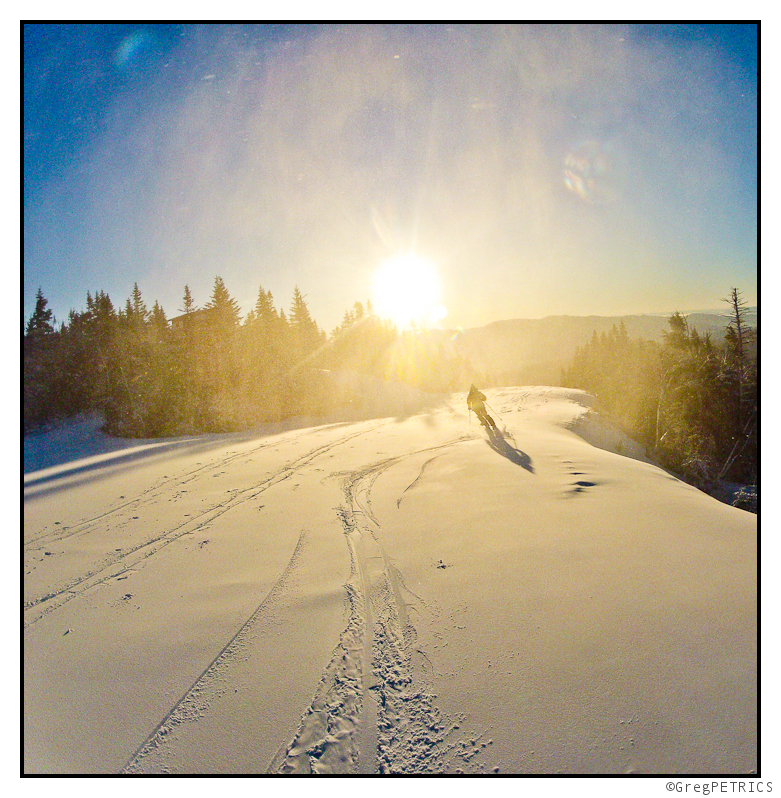
Sunrise five featured simply perfect corduroy. I know, I know, I know. It’s lame to talk about perfect corduroy on a skiing blog. Before you slap my wrist though, just hold your tongue until you and I get up early one day, earn some turns on perfectly groomed packed-powder, and hoot-and-holler all the way to the bottom. When we get to the bottom, and only when we get to the bottom, will I allow you to slap my wrist. We’ll see if you can wipe the sh*t-eating grin off your face and do it. We’ll just see.
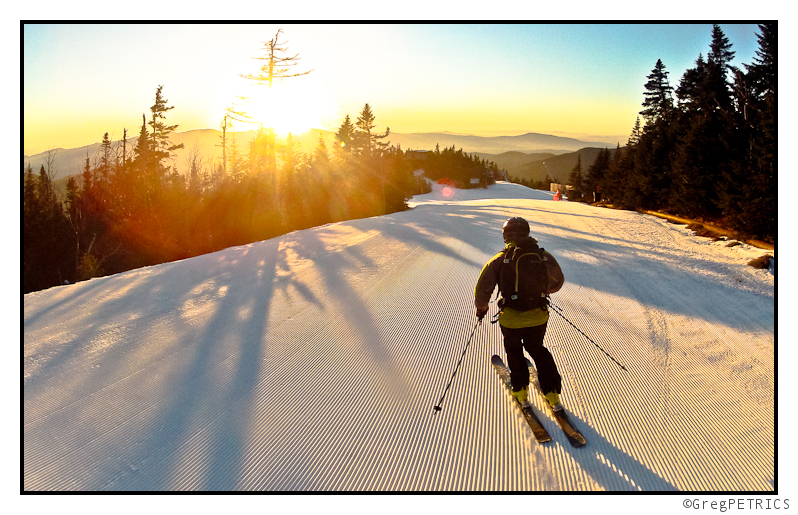
Sunrise six was yet another morning for—“gulp”—perfect corduroy.
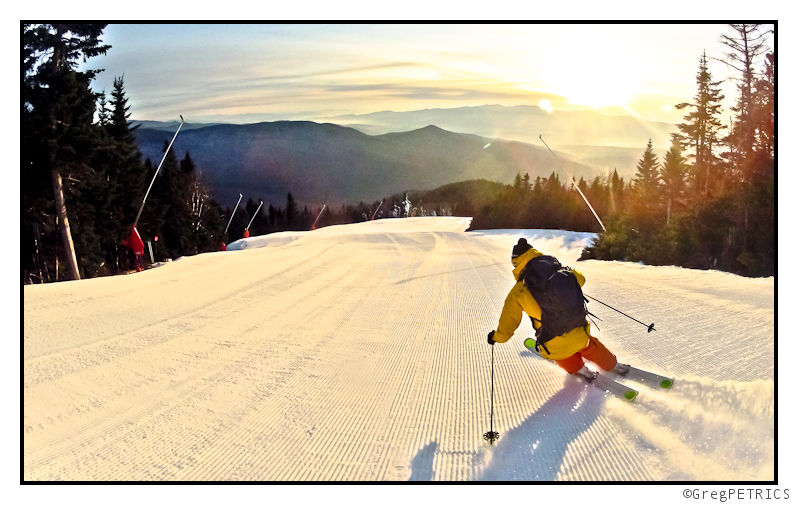
And finally, we come to the last of our several sunrises, sunrise SEVEN. There actually were a few more sunrises between sunrise one and seven that are undocumented in this post, but I am only including seven because it honestly bugs me that the word several doesn’t mean seven, and so I’m on a personal quest to limit the use of the word “several” to mean seven. Of course I’ll fail and contradict myself some day, but that’s another matter. In any case sunrise seven was our return to true winter around here. Several inches fell when the forecast orographically enhanced trough swung over head, and dropped up to 5 inches (not 7 though…damn it!) along the Green Mountain spine. It felt good to get back to winter. Now let’s have some more on the east coast!
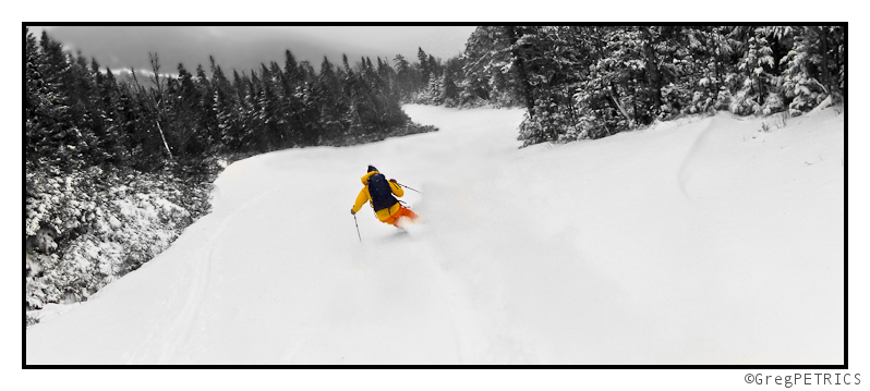
Hope you enjoyed the sunny weather of November. See you on the hill as we see what the end of the month (and December) have in store. For now though, I’m out to catch a sunrise!
Thanksgiving Outlook (UPDATED)
Turkey, cranberry sauce, stuffing, some green vegeatable, pie, gas, football, weird relative interactions, “SAY HELLO TO YOUR AUNT.”
Oh, you wanted a weather prediction. Riiiiight.
So on the east coast, we’ve been under an incredible high pressure. The amount of clear, quiet weather we’ve had is anamalous for November in the northeast. While we’ve seen a real lack of snowfall, the clear, dry cold nights have allowed a nubmer of ski mountains to blow snow like (AVN joke deleted). While I like natural snowfall, perfectly groomed corn runs in the dawn light are great regardless of whether a pipe, pump or dyanmic atmospheric lift produced the white stuff under my skis.
Over the next few days, we’ll see the center of the high pressure slide east. The clockwise flow of air around the high will, as the high slides east, create a return flow of warm air into the region. High temps will nose up a notch each day from now thru friday. High temps on thursday and friday, on the mtns, will be in the 40s. If you time it right, you might get some nice corn shuss late in the morning.
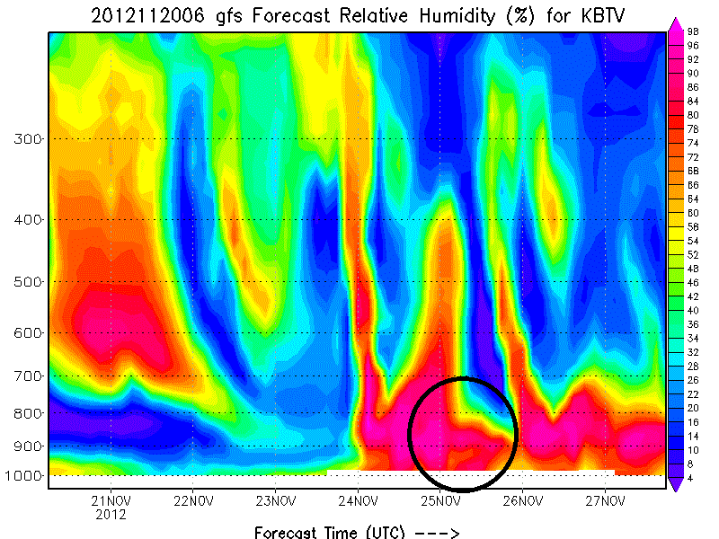
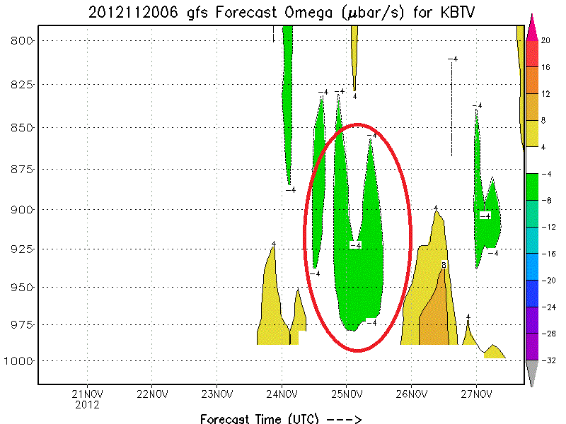
Following that things begin to get a little interesting. A wave of energy at 500mb will push into the region Saturday. A surface low associated with the 500mb trough will push north of the region Friday night into Saturday am. Cold front passage will occur Saturday morning with rain showers turning to snow showers. In the wake of the front, a cool and moist airmass will slide over the notheastern mountains. The model consensus right now is that for about 6-12 hours, conditions favorable for orographic precip will exist.
(Here, I highligted low level omega and RH in the key timeframe)
Add that to the front and I think we’re looking something like 3-6+ in the N/E Saturday/Sat. night. Dry air moves in early sunday am and shuts the system down (mostly).
UPDATE: This still looks good. Think 3-6 is about right for the range of snowfall totals by the time we get to sunday afternoon. Also going to add that Sunday will feel pretty dang cold. -12 to -14c air at 850mb will mean mtn top temps in the teens with a brisk NW wind. Welcome winter. Stay awhile. Next system is progged for midweek. Looking good. Update on that on monday.
Beyond this weekend…well…I’m excited. All the major operational models, and a large number the individual GFS ensemble models have consistently shown a colder, stormier east coast. From 11/26 thru 12/8 I’ve watched model run after model run develop signioficant snow storms. Large scale teleconnection modeling supports these solutions. So long story short: I feel good for east coast powder in that period.
Turning to the west, a trough will move inland into the Pac NW over the next few days bringing mountain snows to Wash/Oregon and Northern Idaho. In Utah there will be a weak system passing over the state wed-thursday. Not looking too impressive right now but I’m sure the Wasatch will wring a few inches out of the event. A more complex (read potentially snowy) event is progged for the weekend. Sat into Sun a disturbance will move eastward off the ocean with the associated cold front tapping a decent amount of pacific moisture. The timing and placement of the front, along with the exact dynamics of the event have been batted around with the model runs. So I’m not going to get too specific here. Check back with me friday for more details on Friday.
UPDATE: Models have backed off any significant snow for UT this weekend. PacNW still should do well along with Northern Idaho. Just don’t see much moving into UT. Still like the long term from 12/1 thru 12/10.
Looking further out, I also see a period of increased storminess for the west in days 8-15. The pattern just doesn’t want to be as quiet as it has been.
Ok, back to work. Happy Thanksgiving. I’ll update as needed.
Laterz
Weekend Outlook
With major resorts across the country opening this weekend, it’s time I get off my butt and start the weekend outlooks. Lucky for me, there just isn’t a lot to say this weekend. (I’m tired and busy from real work)
Across the country we’ve had a pretty tranquil few days. Large high pressure is dominating weather across the eastern 2/3rds of the country. That looks to continue through the weekend. In the northeast this large high pressure will result in seasonably cool and sunny mountain weather. Temps across the northeast at elevation will be in the low 30s both Saturday and Sunday. A while ago it looked like the high would slide east and set up a return flow bringing warm air into the region. Now that doesn’t look to happen. I suspect the northeast will remain seasonably cool.
Following the weekend the northeast looks to remain pretty quiet out to Thanksgiving. Models have shown the development of a “coastal” storm for a while. However I use quotes because the recent trend- and reasonable solution- has this storm developing well off the coast and not really impacting the sensible weather in the N/E. Obviously I’ll watch this closely but I’m not looking forward to any major snowstorm.
Out west, a weak wave of will move into UT bringing light snow showers to the Cottonwoods. Accums look light. There just isn’t that much juice with this system. More potent weather will exist further to the northwest as a strong front, ahead of a larger storm impacts Cali, Oregon and Washington. Heaviest snows will fall in the PACNW where a few feet will accumulate by the end of the weekend. Idaho will see some snows from this as well. How that storm moves into the west next week is currently unresolved. I’ll track it and let you know. Models have hinted at a more active and wetter week out west for a few days now. I’m not sold on any one solution yet. Just know the next 10 days look more positive.
Ok, that’s that for now. Go skiing.
TR: An Early Season Apology
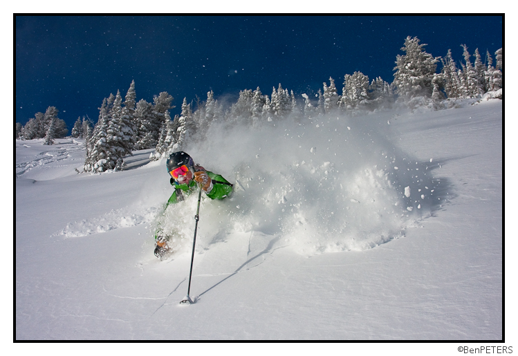
November 14th and we’ve already had two over 40″ storms in Utah. Check out how Ullr is apologizing for last winter in a big way!
Storm out west, Warm out east
As I’ve discussed on Facebook (for whatever that is worth) a major storm is set to impact the western half of the United States.
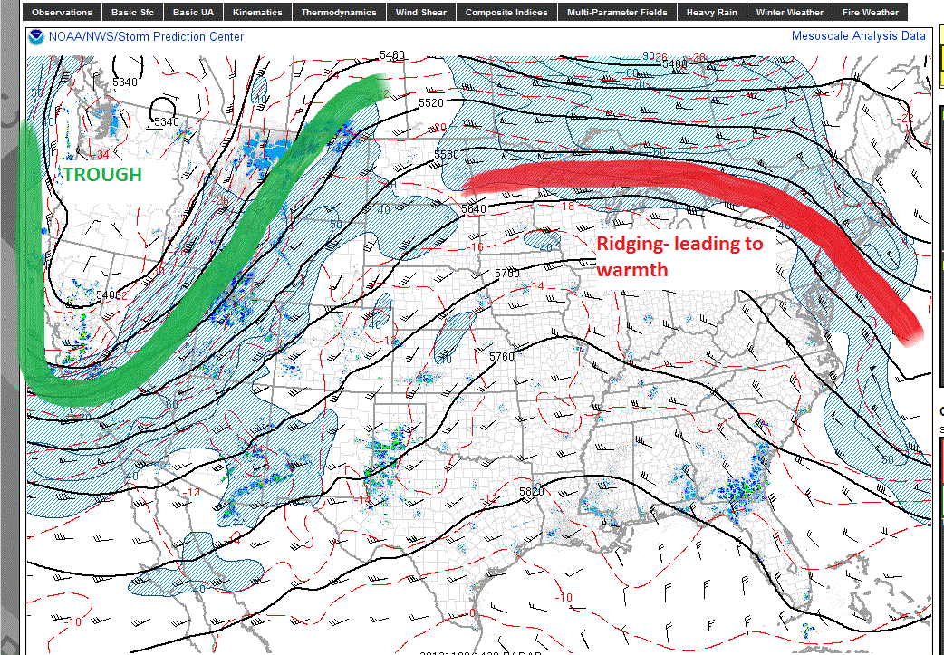
As I type this a large, cold pacific storm is marching into the West. This storm will bring robust snows to the intermountain west, and warmth to the east coast.
Here is the current situation:
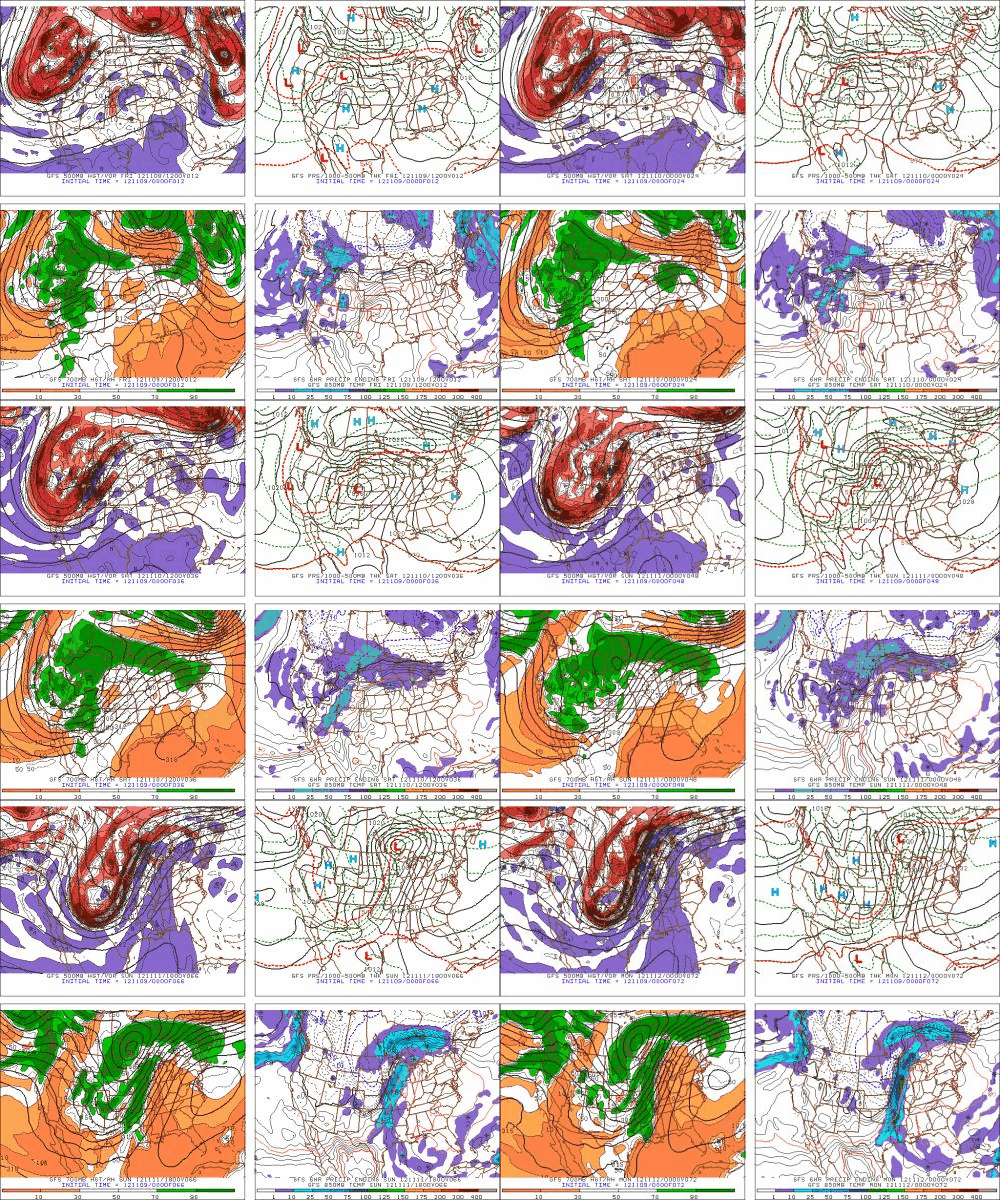
Models have been consistent with this storm for at least the last week, and there is no reason to think it will not unfold as modeled. Oh? How is it modeled? Great question. Gif Time!!! (I love these damn things).
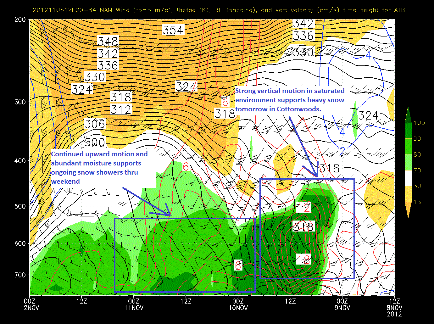
Just ahead of the cold front, strong prefontal winds are sparking convective snows across Southern Colorado and the Wasatch. As the front crashes through temps will plummet and snow will pick up. Looking at the time/height series from yesterday’s nam we see strong upward motion as the front passes through supporting the notion of heavy snows later this afternoon in the Wasatch.
Note, in the picture above I’ve highlighted an area of sustained upward motion through a reasonably saturated airmass over the 36 hours from late friday thru Sunday. If we look at the wind barbs at the time we see a good westerly flow of air. Combined with temps of minus 5/6C at 8000ft this supports the conclusion that steady orographic snow showers will persist across the highest terrain of the Wasatch thru sunday.
When we look at totals for this event, we’re seeing modeled snowfall totals in the 1-3 foot range depending on aspect, elevation and orographic dynamics. More detail needed? I’m thinking something in the mid 20s at the Collins mid-mtn stake when this wraps up sunday afternoon. Numbers overall should range in the 12-24 range with favored sports and aspects hitting that 30ish range.
Now, out east, this big western trough will support the development of a ridge. I marked that in red above. After a warm front passed overhead in the next 18hours, temps will rise sharply. Highs this weekend and early next week will be in the high 50s for the mountains, peaking on monday as the ridge spikes. We’ll see temps settle back down as a cold front passes mid week.
How’s that sound? What did I miss? What did I get wrong?
We’ll find out.
Piste!


