Systems Test
Based on yet-another spot-on forecast by the esteemed Lionel Hutz, the FIS east coast bureau was ready bright and early today for a systems test in preparation for the upcoming ski season. Most of us were of the impression that we were merely going to practice getting up early, and carrying equipment up a mountain. There might be a few flakes to enjoy posing with, but no one had their expectations set very high. Little did we know though, this systems test was no mere calibration of the deep-mergency pow-cast system; this was a full fledge flakes-and-foliage and fast-grass adventure in the making. Indeed, as we made our way higher in the early morning light, we were delighted by the snow piling up deeper and deeper. Unwashed masses that we are, we decided to take a bath in Ullr’s gifts.
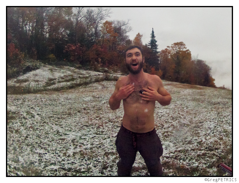
Hey now… ok then… good morning to you too Jake. KC tried her best to ignore the chest hair asunder, and kept heading higher.
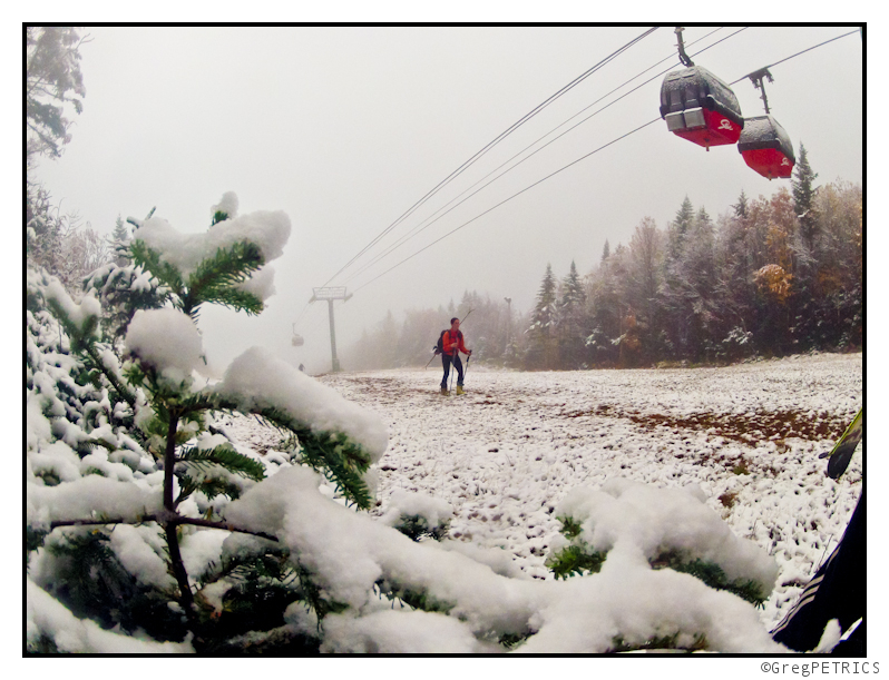
We got up top and were STOKED to get our first taste of winter of the season! With no time to lose though (several of us had to get to work), we slapped our skis down, and started the schuss. Sweet glorious schuss. Schuss schuss schuss! First SCHUSS of the season!
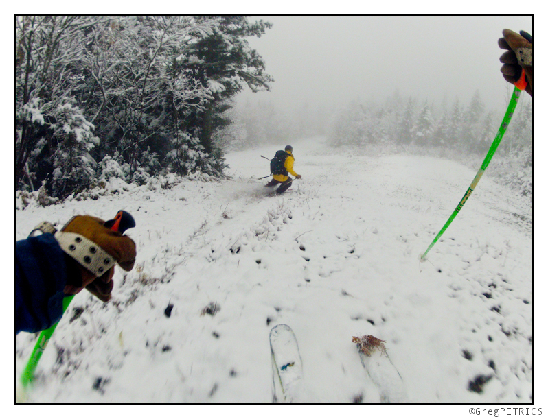
Was it the best EVAR? Of course not? Was it skiing on October 8th? Youbetcha! I’ll let the pics do the talking for a while.
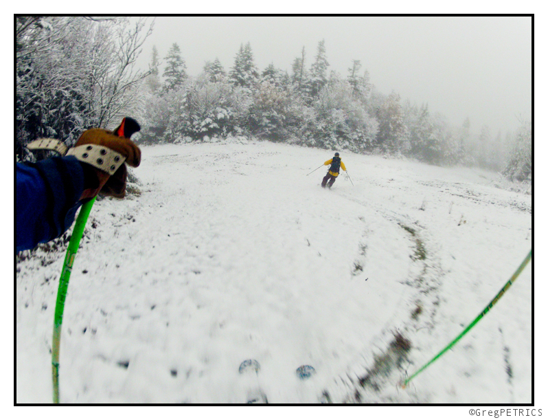
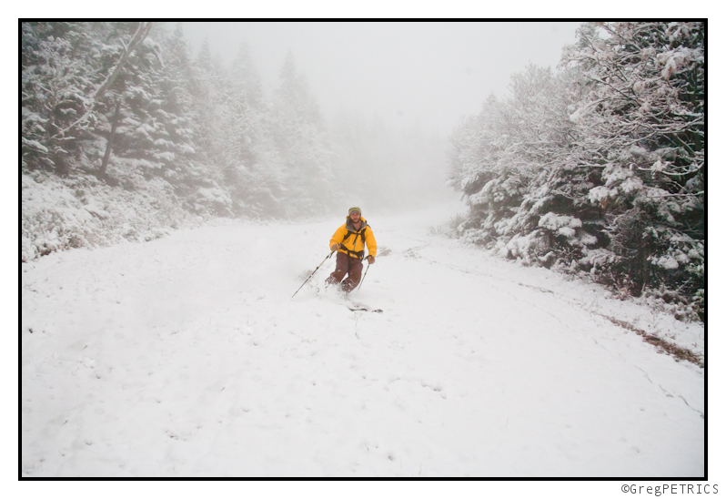
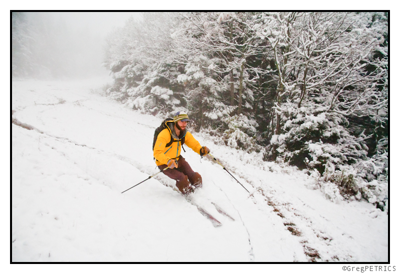
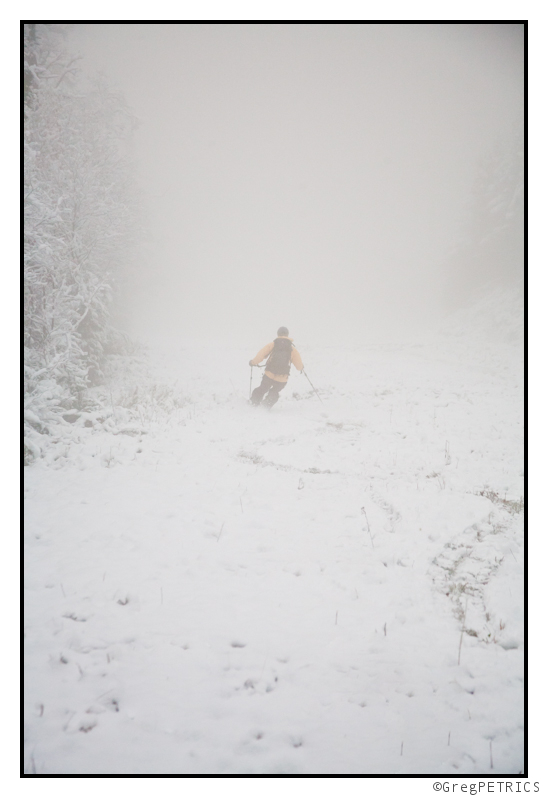
“Wahoo! It’s strange and normal at the same time!” said KC.
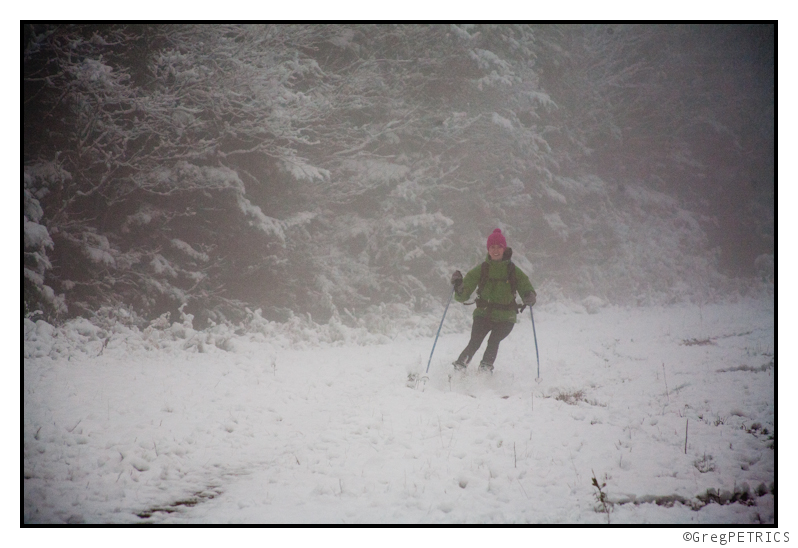
Wahoo indeed lovely lady!
The snow petered out quickly, and the sound of rocks and pebbles scraping at our bases told us the skiing of snow had come to an end. At this point you might be wondering: “How does one get down from this high elevation fun?”
I’m glad you asked, but did you think there would be any other answer besides: “SCHUSS!” ?
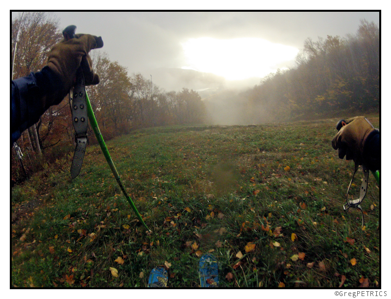
Didn’t think so ;)
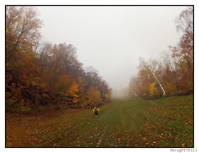
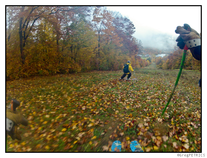
Thanks a bunch for checking out our early-season Systems Test here on FIS!
Like us on Facebook if you want to stay up to date with us all winter long! ‘Till next time: GIT SUM!
Winter 2012-2013 Begins (?)(Update)
UPDATE — OCTOBER 6, 2012 — 7:16 AM
Despite no clear model consensus, I think I’ve figured out a reasonable solution. As of this morning I think we’ll see a weak surface low pressure develop around NJ sunda am and move N/E along a frontal boundary. The long wave trough spawning the low will remain tilted in such a way so as not to inspire any real deep cyclogenesis, at the same time the front will remain juuuuuust a little too far to the s/e to provide any real heavy precip to the region. Notwithstanding those two points, enough moisture should be drawn to the N/W of the low to allow for some accumulating light snows across the very highest terrain of central VT and NH. Right now the best chances for any accumulating snows will be on a line from central VT through the Whites and on into s/w Maine.
Totals are a little funky. The grounds warm and wet so a lot of what falls will melt instantly. Get a cold patch where stuff can accumulate…like the high whites…and 3 -4 inches are def. possible. I’ll keep watching because this certainly has the ability to develop further. But for now, thems my thoughts.
Have a good weekend.
end update
Well, here we go.
Over the past few weeks I’ve mentioned (here, here, here, and herehere) the first weeks of October had begun to look very supportive of winter weather in the N/E.
Why? Well the answer lies in the development of a large Pacific ridge (as depecited below).
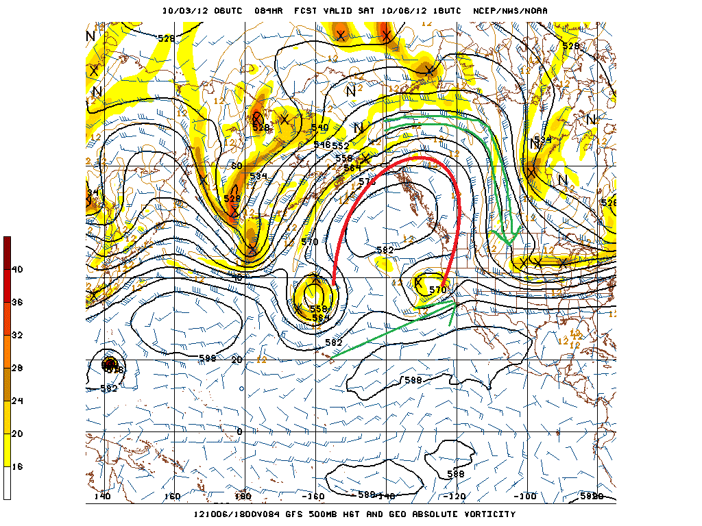
What we see here is a large ridge (marked in red) developing over the eastern Pacific. This does several things. First it splits the flow of pacific air entering the country into two distinct streams (green lines). One stream is air flowing up around the ridge and dumping into the United States straight out of northern Canada. This air, as you might expect this time of the year, is pretty chilly- certainly cold enough to support winter weather. The second stream flows from the sub-tropical pacific bringing warm moisture rich maritime air into the United States. This is a pretty good recipe for the development of winter storms in the eastern 1/2 of the country. Where any particilar storm develops in the eastern half depends on a number of factors. If the right conditions come together over the plains the storm might get sucked in the Great Lakes and maul Chicago. If the ingredients come together a little further east, we in the n/e can get pounded. Regardless, the development of this ridge/ split flow regime is pretty favorable.
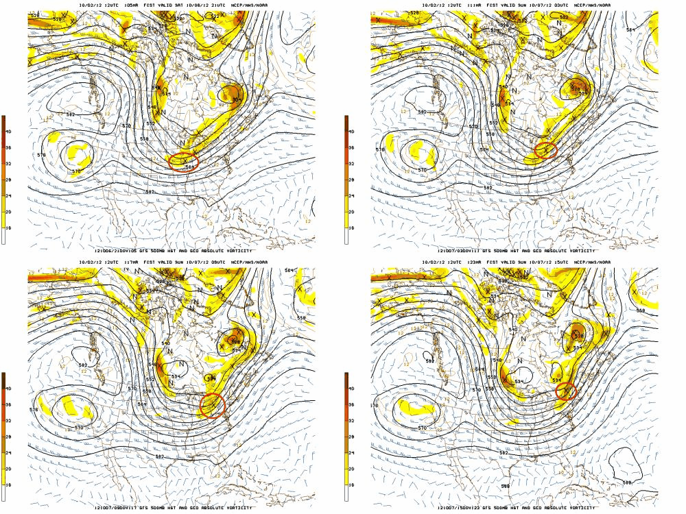
The recent model runs show why. I’ve clipped yesterday’s 12z GFS run for you here.
Essentially what we see is a 500mb piece of energy (vort max marked with an X and circled in red) swinging in through a trough on the northern stream – referenced above). It moves east Sat into Sunday.
Vort-maxes promote upper level mass divergence and surface cyclogenesis east of the vort-max. With the path of that v-m, we should expect to see some surface low development. We did:
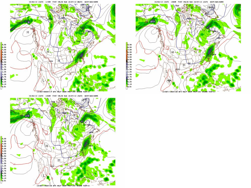
Notice that the storm (marked by the “L”) rides along the h85 0c line as it moves up. For a number of reasons that’s pretty reasonable. Were this to verify, somewhere high up along the spine of So. VT and/or the Whites would get a solid 8-10 inches of snow.
Comparing this to other models we see a lot of similarities. The Euro shows almost the identical 500mb structure and a comparable h85 structure. The CMC is suppressed but previously showed the same solution. The NAM isn’t in range yet, but at hour 84- the limit of the NAM- it generally matches the solution of the GFS and Euro.
Today’s model runs show a less developed “L” and moure suppressed solution. More of a frontal passage with weak backside flutter type event. However some ensemble members are holding very steady to the solution from yestreday’s 12z GFS. Setting aside normal model variances I strongly believe that something is afoot for the weekend. Right now I’d say our chances for snow this weekend are “interesting” and worthy of close consideration. I’ll keep you posted.
Snoliage
Nothing can make a Famous Internet Skier smile quite like the first schuss of winter. It’s with big smiles and and hearty laughs that we welcome the 2012-2013 ski season!
One of the great joys of fall skiing is occasionally you get blessed with a little snoliage. You know, like foliage, but with the welcome addition of snow!
Ben and I set forth early this morning, to some of the higher road accessed points of the Wasatch to see what Mother Nature’s opening volley served up. And, let me tell you something, she did not disappoint.
Ben opened the season with a courtesy pole point – a quick way to welcome the season and satisfy the mighty Ullr.
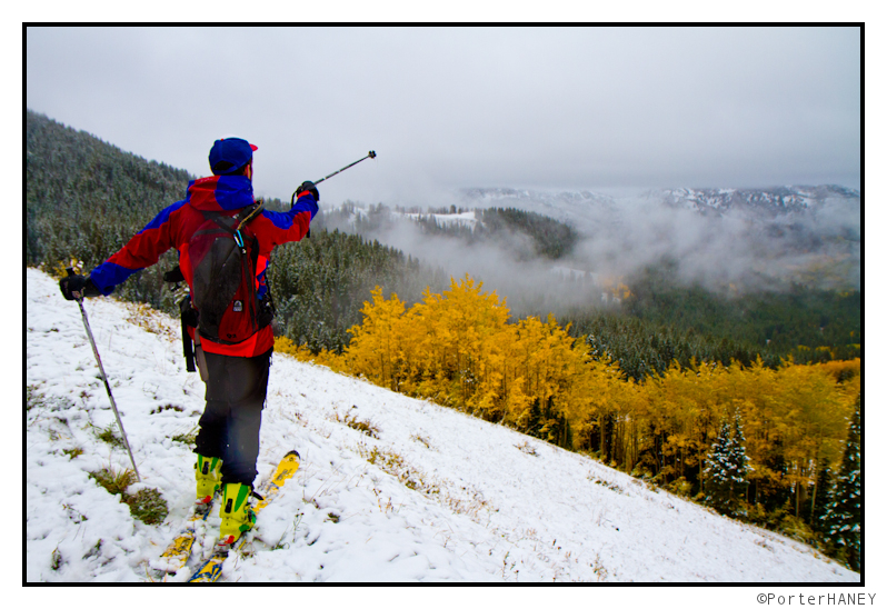
Thankfully, Ben had the skis waxed and he took off like a bat out of hell.
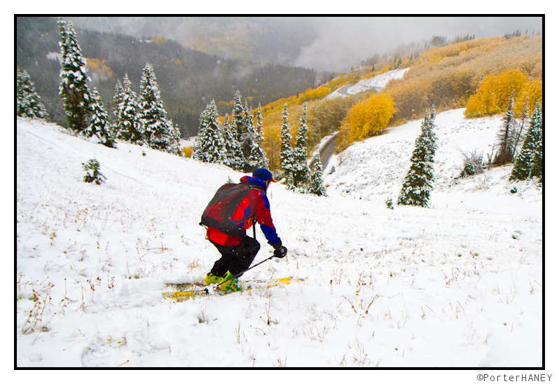
Ben pulled up next to me, hooting and hollering, and said something remeniscent of the mighty Dwayne Hanye, “That sure was a juicy morsel!”
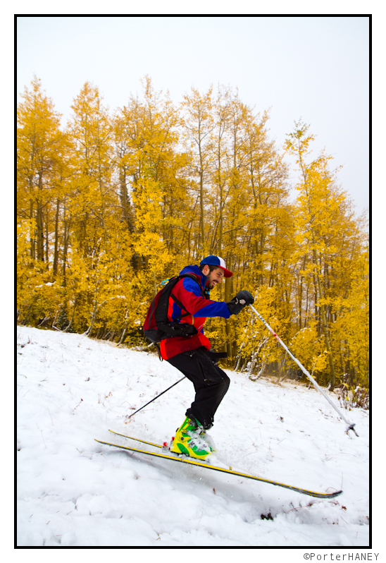
We’d only brought a pair of skis for the quick adventure. That meant, next up, it was my turn!
Without a care, I did what every skier learns to do, “When in doubt, straighten ’em out!”
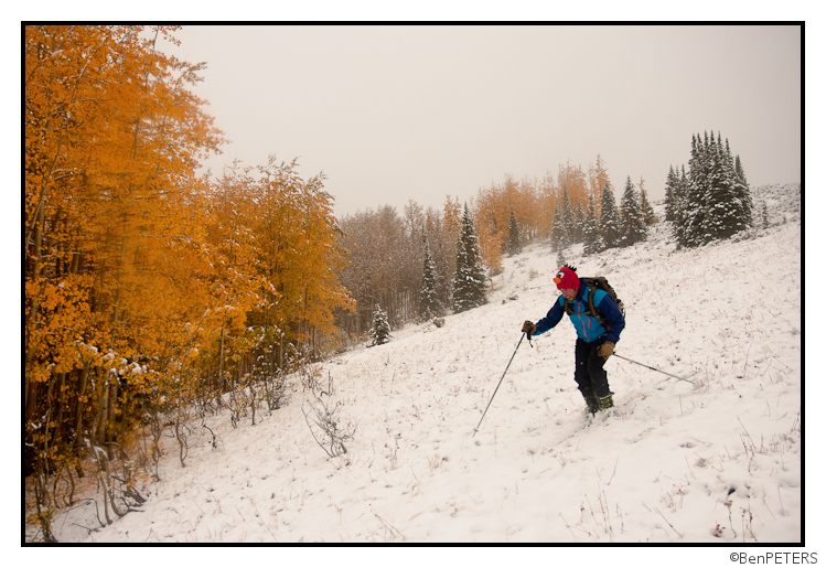
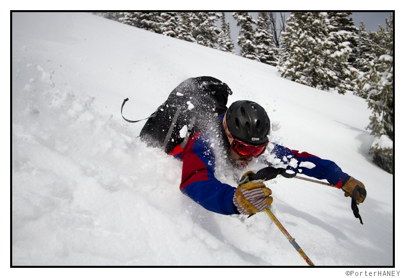
We got Ben out for one last lap, and the true powder pig that he is, he finagled himself into the first face shot of the season!
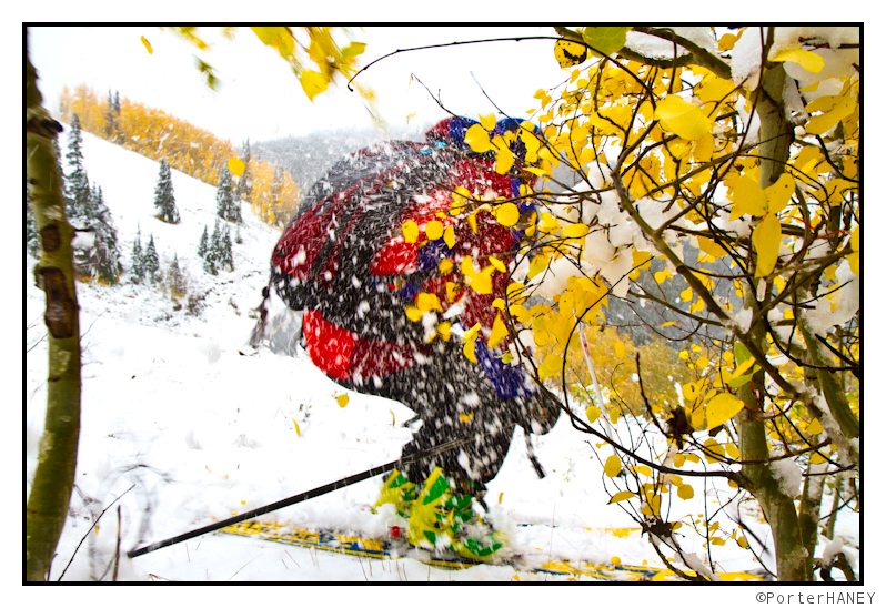
And just to make sure we didn’t offend any superstitious powers (of powders) that be, we took it all the way to the road.
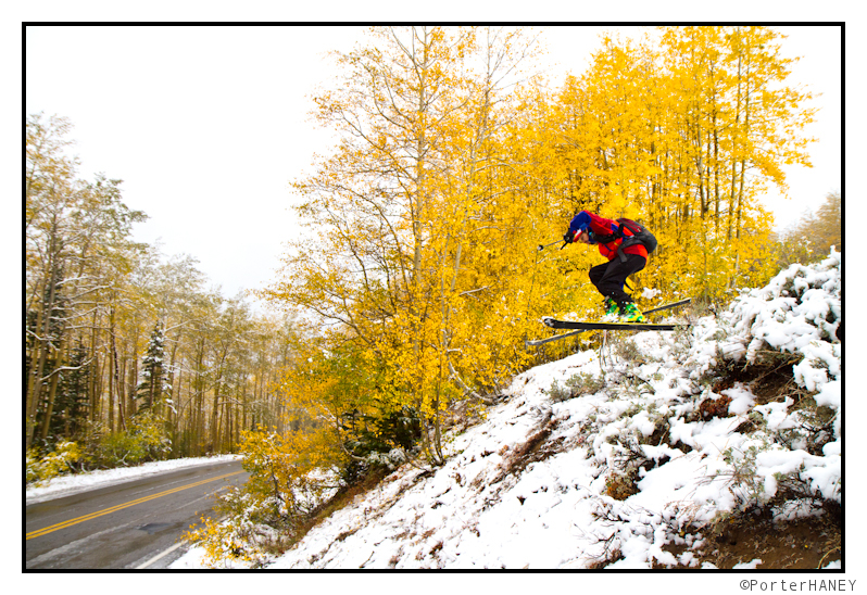
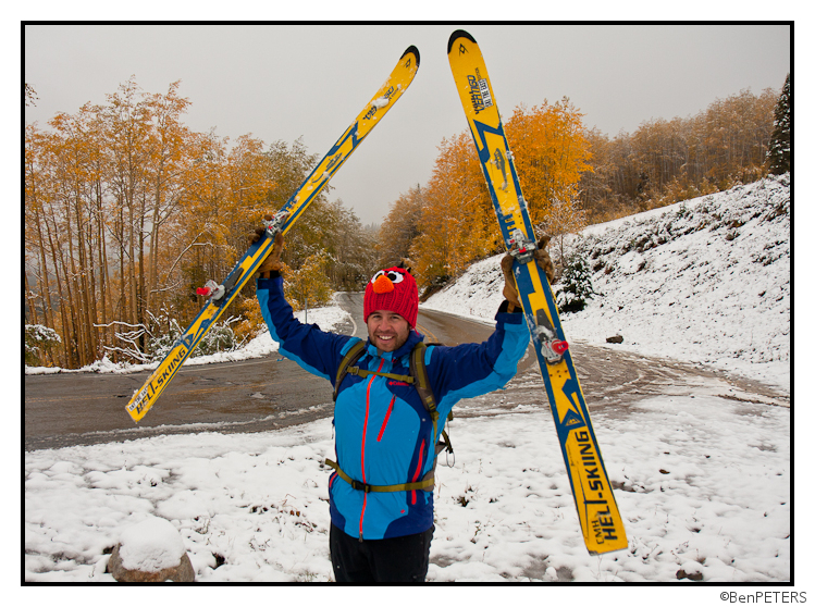
Here’s hoping that your first day is right around the corner and that all ski days this winter will be as fun as today!
TR: The Juuux
Word-tractions. Powder schussing. Yurt skiing! Get it all – click through on the picture to read more.
September Snow Shots
Eariler this morning I wrote the following on Facebook:
Over the next week the N/E is going to have two shots at seeing some flakes. The first chance will come Sunday night into monday morning. A trough swinging down and through the great lakes out of Canada will push east over our area saturday night, with rain clearing the area sunday morning. In the wake of that front, cool air will build in. h85 temps on the GFS have remained steady at -1 to -3
C. Therefore, any embedded low level moisture on the N/W flow will produce upslope precip in the form of light flakes. The air mass is not too wet so we’re only talking about flakes in the air or at best a coating above 3000 feet. Notably the NAM holds the core of the cold air back to the west and blunts its progression across the north country on sunday. Looks a bit odd to me, so I’m going with the GFS.
The next threat comes wednesday night into thursday. A lobe of cold air will sink down behind a cold front pushing south out of canada. The 0z gfs today is much warmer than previous runs which had cold air at h85 all the way down through the catskills. REgardless, I like these two shots right now and think the are worthy of my close attention.
Well let me expound on that for a moment.
Here is the first shot as depicted with the GFS. Pay attention to the 0c h85 isotherm:
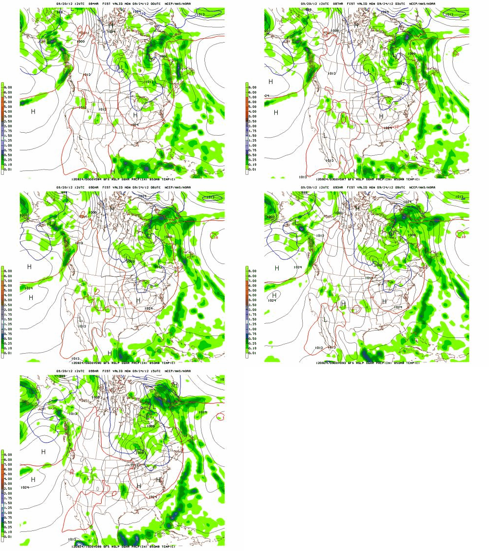
Yep..that’s a “.gif.” (hopefully it works). Were trying something new! Just like Costanza ” Anyway you can see the cold air filtering in on the northwest flow around the large high pressure moving into the great lakes. That, combined with the northerly flow around the week low off to the east will certainly usher in plenty of cool air into the N/E.
The question will be how much moisture lingers. That cold air is going to be pretty dry, but looking at the progged 850 rh values there is evidence of SOME moisture lingering at the mid levels of the hills and on up to the summits:
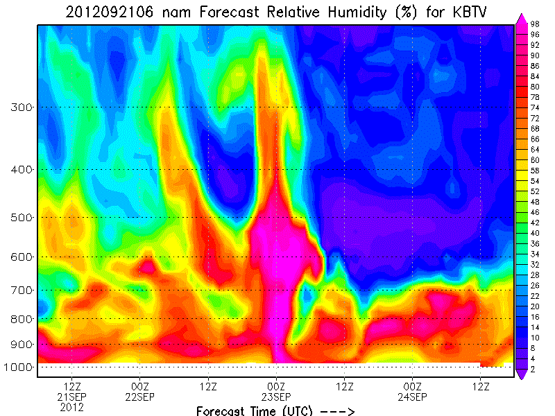
While I’d like to see more moisture, with the northwest flow, evaporative cooling from the orographic uplift and the cool air in place, I’d be willing to bet the summits down to about 3000 feet see at least some flakes flying around sunday night into monday am- maybe even enough to dust some cold rocks up high.
Later in the week a second, slightly more robust shot at flutter will arrive.
Here’s the GFS for that:
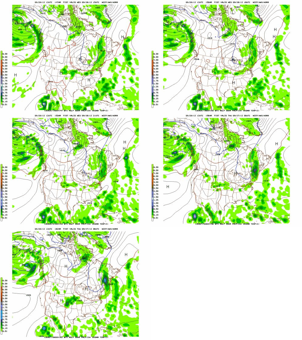
As you can see the model wants to keep a weak closed wave of low pressure along the font which would spin a little extra moisture down into the N/E. Also the temps look a notch colder. The RH values for the surface to the boundary layer look better (right there after 00z on the 27):
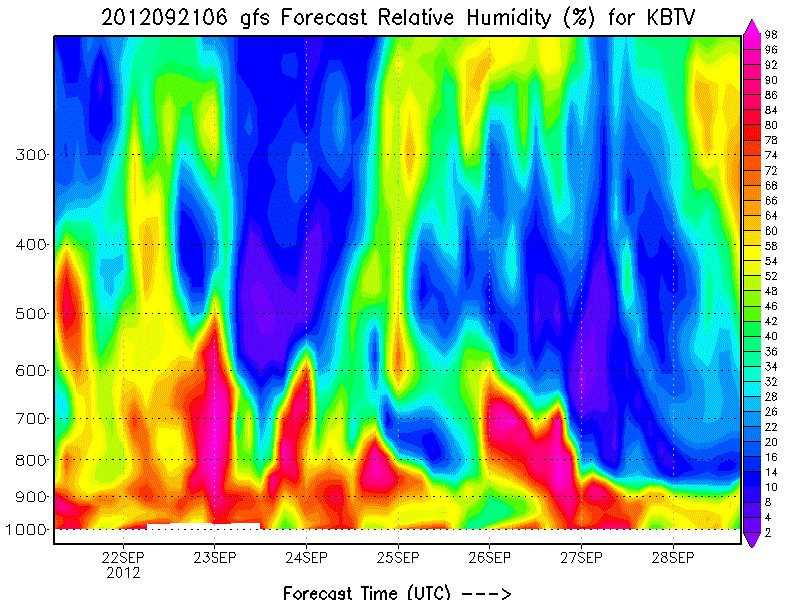
So it certainly appears possible that a high elevation fast grass schuss is possible Thursday morning.
Anyway…just wanted to put this out there and get people stoked up for winter! While this cold weather doesn’t look to last long, it’s nice to see it and we should appreciate what we are given.


