BruhnsPhoto Presents: Over The Hill
As we roll into spring 2012, here’s the latest in our Local Film Series that features and promotes small, independent, non-commerical ski flicks.![]() Why spend piles of dollars to go see a glorified commercial when there’s “flickering-light-stoke” that’s not trying to sell you anything, and which is available free from the comfort of your office chair?
Why spend piles of dollars to go see a glorified commercial when there’s “flickering-light-stoke” that’s not trying to sell you anything, and which is available free from the comfort of your office chair?
In this entry, friend of FIS, Matt Bruhns, takes us on a mostly-POV tour of shredding pow in Vermont.
Incidentally Matt is also entering this video in Stowe’s East Coast Supershoot (which you may recall, FIS won last year). So “like” his video on YouTube, and help him win fame and glory!
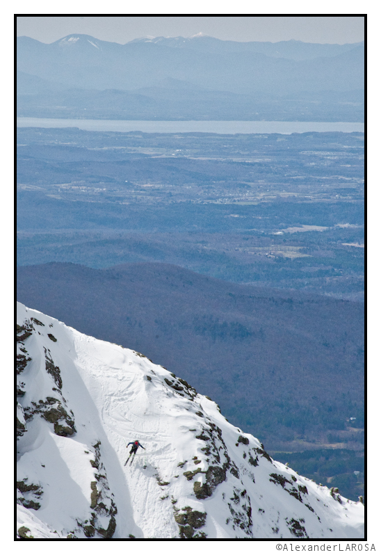
TR: Spring From High to Low
A tour of this spring-so-far from high to low.
TR: Twin Sisters Range Traverse
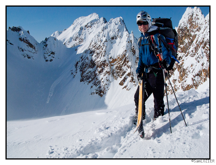
This past weekend Allen Travis and I got the chance to explore the little-skied Twin Sisters range in the foothills of Whatcom County. The traverse was a great adventure and, we believe, a potential local classic. Click the photo for more.
A Morning in the PNVV (Pretty Northern Vermont in Verydeepsnow)
What happened in Pretty Northern Vermont last night? How. What? HOW!
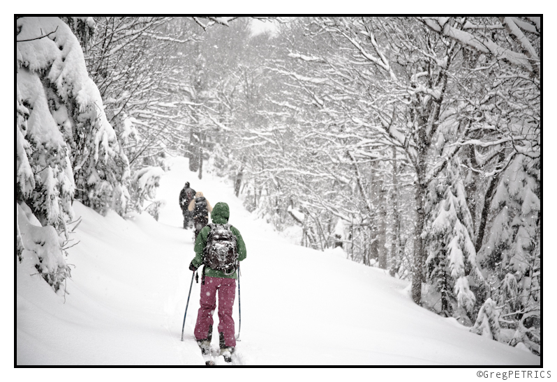
Oh I get it… har har…very funny. Very funny indeed.
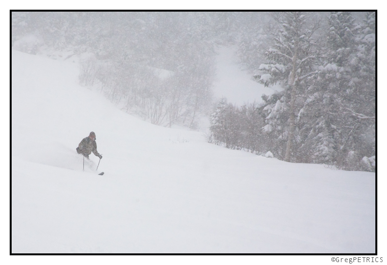
Well…forgetting about that bad joke, the good news is that the snow was VERY DEEP in Northern Vermont today. It was also very heavy, and reminded me a lot of the type of snow they see often in the PNW. Also reminded me a bit of the April 2010 PNVV storm, but maybe even heavier. Surfing is fun though!
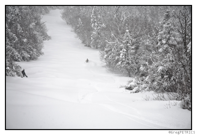
There’s a TR a brewing from the East Coast contingent of FIS, but until then git out end git sum!
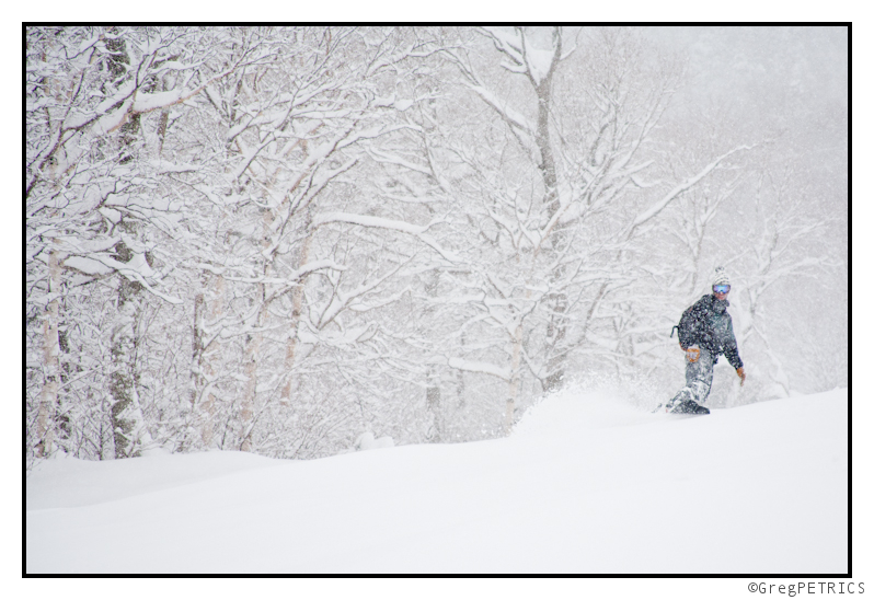
Winter Storm “HOW”: TUESDAY -UPDATE (ain’t no potential about it)
TUESDAY AM UPDATE
So far reported totals are in the 10-12 range. No doubt in my mind that another 6-8 inches of snow will fall (or more) before this low drags off to the east wednesday night into thursday am.
So all in all, “told you so.” (Wink). Have fun, be safe, schuss hard and high-five.
end update
Happy Easter, Passover and …well that’s it right? Hopefully everybody is enjoying themselves and not eating too much candy. As I said a week ago, the beginning of April was looking favorable for winter, especially the few days after Easter. Well here we are and it looks like that prognostication will verify.
The consensus solution across the major operational models, along with a large number of the ensemble forecasts is rather simple. A low pressure system currently affecting maritime Quebec will rotate towards the west, around a high pressure system exiting the region. The low pressure system’s surface low, mid level low and upper level low pressure centers will come to stack onto each other as the low stabilizes and cuts itself off from the prevailing west-east flow aloft. As a result it will linger over the region from Monday into Wednesday. We like this pattern. Especially in April.
As the low lingers it will rotate a fair amount of moisture through the region. Given the orientation of the low, and the prevailing wind flow there will be significant orographic lifting in the mountains of the Northeast, with the Greens and most northerly ADK (Lyon) creating the most uplift. Given the saturated airmass, precipitation will be a given. What type is the key question. Freezing levels look to be about 2000ft give or take. So I fully suspect summits and upper elevations to get all snow. It should be a rather moist snow given the temps but hey, wet snow might be exactly what the Dr. ordered. Overall totals are tricky. Until the high res comes out tomorrow morning I’m not really going to waste your time hazarding a guess. Suffice it to say it will be enough to make the skiing very fun….esp. tuesday morning as the single best period dynamics wise should be monday night into tuesday am.
Mon. 5 am UPDATE: All the major models are WET. Lots of moisture being thrown into the hills. With temps in the -4 to -6c range we’re not going to get great dendrite growth so we’re looking at low snow to water ratios and a wetter snowfall. Maybe even periods of graupel or rods. Regardless there should be enough moisture to result in a widespread 6-12+ snowfall across the higher terrain (with the greens doing best given their cross flow orientation).
Monday 2PM Update It’s on like Donkey-Kong.
Ok. Im out. Gotta go see about braising the Easter Bunny. How do ShotBloks work as a meat tenderizer?


