What Lionel Won’t Tell You
When Lionel was out measuring degrees with his sextant this past weekend, he saw a fox. Twice. At the time, he just thought it was just another creature-of-the-wood making funny noises, trying to snake his line, and trying to get one of his Shot-Bloks. It was however actually an animate fox-ification of this weekend’s storm, and when it finally scooted out in front of him, it looked him in the eye, and told him what was going to happen. And that’s how he forecasts the weather. I swear it’s true, and that’s what Lionel won’t tell you.
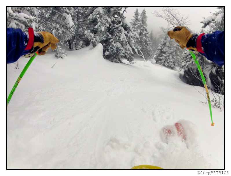
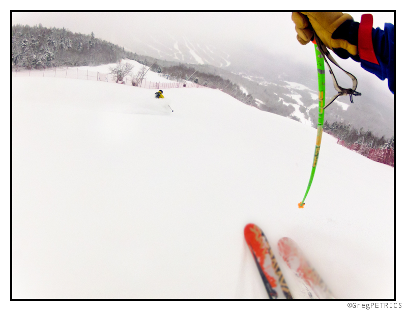
In addition to that non-sequitur, you also are about to be treated to a couple of pow pics from today’s pre-storm storm which might turn out to be the storm that actually has a post-storm, and wasn’t a pre-storm after all. Got it? Neither do I. Here’s the pics.
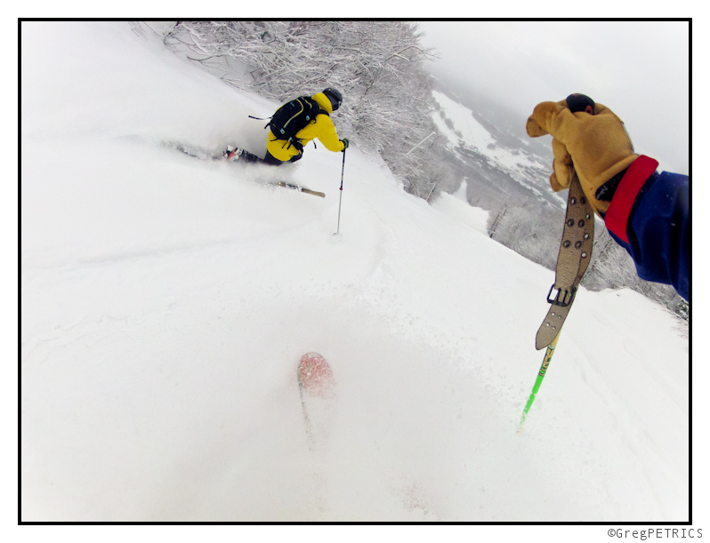
And lest you think I’ve turned my back on standard photography in favor of cheating, you need not be alarmed.
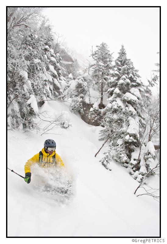
There’s more to come. Buckle up, stay tuned, like us on Facebook, and GIT SUM!
Major Winter Storm “Fox” (REVISED FORECAST)
UPDATE – FRIDAY 5:30 AM
Looking at the latest models I’d say that the heaviest snow will not break out until later in the day today. We’re still looking at an additional 8-16 inches of snow across the hills of VT and the Whites. It’s possible the ADK peaks above that according to some of the latest computer guidance (which I agree with). Maybe some spots there hit 20.
MAJOR REVISION as of 9:01AM 2/22/2012 With the entire system on our front door, I think it’s time to simplify this forecast. If you’d like to read the old original discussion go ahead. It’s on page 2 but we have pow coming and who has the time to do that?
So here is a nice clean synopsis of what I think Fox is going to do:
Beginning right now we’ll see several low pressure systems will impact the Mountains of the Northeast. As I type this a wave of low pressure is currently developing just to our east along the frontal boundary. It’s not looking great right now but models are indicating we’ll see cooling through the night with a real low developing tomorrow early morning. This low was dead on the forecast models up until a few days ago and now it’s bringing the pow. What a re-birth. I think totals across the higher terrain should be in the 3-6 inch range for this storm.
As that first low departs on Thursday afternoon I think we’ll see weak snow showers continue with a wrap –around flow. At the very least we’ll remain cloudy with temps hovering in around 27-30 across the summits of Vermont and New York.
Friday a second, stronger low will enter the region from the west. This low has bounced all over the place on the weather models in the last week. The European models had the storm tracking through western NY and exploding into a bomb that delivered rain and then heavy upslope snow for Vermont. The American models (GFS and NAM) were less aggressive and appear to be the more accurate solution.
At this time it looks like a primary low-pressure center will deepen around Lake Erie. As it does it will spread out as the primary low becomes stacked under the 500mb trough that spawned it and births a weak area of low pressure towards the coast. This whole dual low center complex will then move east over the ADK then over Vermont through the day on Friday.
As the storm develops on Friday, warm air ahead of it moving north into colder air will spark some heavy precip. Right now the 0c 850mb isotherm looks to remain just south of the southern ADK and ride right over Middlebury. Areas north of that isotherm should see sustained snow down to about 2500 feet or so. Below that I expect mostly rain. At this point totals look to be in the 3-6 range for the first wave on Friday for much of the mountains of the entire Northeast.
The next part of the tale comes as the old primary low, now a vertically stacked and stable low passes over us. About a month ago Winter Storm “Easy” featured a similar lagging low. That low produced a quick 8-10 inches of snow as the moist air and high level divergence combined with orographic uplift along the spine. Looking at the modeled atmospheric profile this time I think a similar result as I see deep saturation, good temps for dendrite growth and plenty of uplift. So as that second low passes I expect another 4-8 inches of snow across the spine from late Friday through Saturday morning.
Lastly, on Saturday afternoon, the storm complex will wrap up to the northeast of us. That will push some more moisture and a cold front cold front through the region. These two features will keep snow showers going along the Greens and Northern ADK though Sunday am. With 1-3 inches expect.
So all in all, excluding what falls with the Thursday event we’re looking at 8-16 inches of snow this weekend across the highest terrain when all is said and done by Sunday. Not too bad.
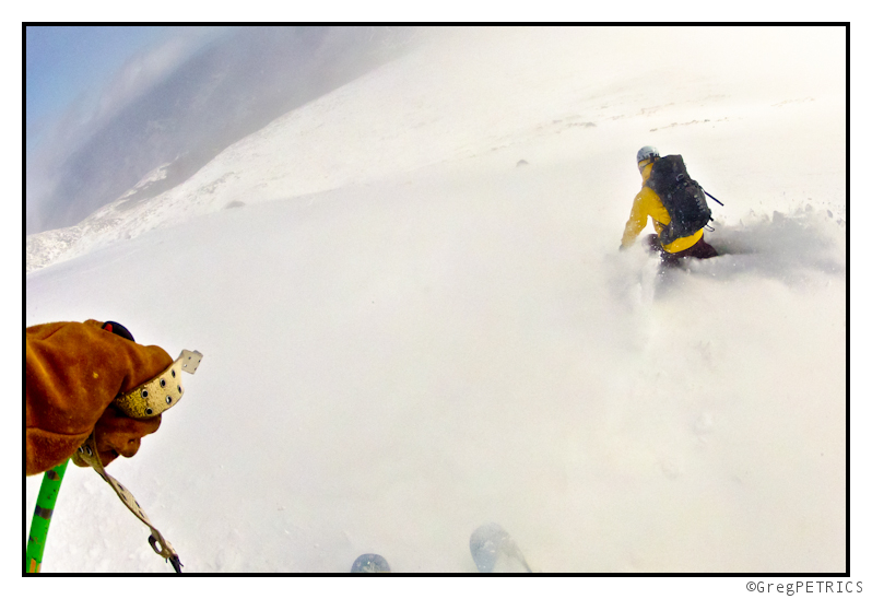
The short story is that there were lots of degrees on the mountain this weekend. The long story is that you should click the picture below to read the Full TR!
Wasatch Weather Forecast: OH MY GOD IT MIGHT SNOW (Oops. Guess not.)
Yea. I know. It might actually like snow in Utah. In brief, on saturday, a storm will dive southwest out of oregon and Washington and move through the northen section of the beehive state. It will push a cold front through the region saturday afternoon with cool/unstable amd moist northwest flow resulting through sunday. That’s the basic, standard pattern for a good little pow event in Utah. It will taper off on monday, though some data favors the development of lake effect snow bands into the Wasatch south/southwest of the GSL.
Here’s the thing….while this will make some pow, I think it’s being over forecaste. Let me explain-
If you allow the magic NWS computers to spit out your totals you are going to get:
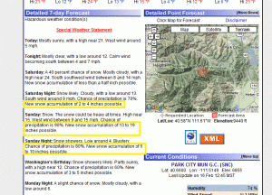
The NWS LCC specific forecast follows this:
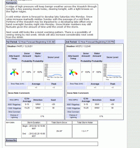
Both suggest between 20-30 inches of new snow are possible when all is said and done. I frankly think that’s too much by 50%.
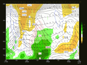
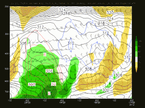
Looking at the time height series modeled for Alta, I don’t see the proper conditions for 20-30 inches of snow.
Here is the 00z and 12z NAM runs showing relative humidity, and vertical ascent over the Alta Base:
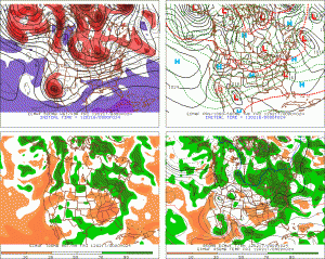
And here is the 00z GFS run showing the same thing
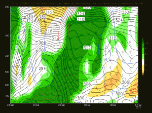
Frankly I just don’t see two things I’d like to see to support a call of 2-3 feet of snow. First I don’t see the max uplift occuring in a region of high relative humdity. That’s needed for prime dendrite growth. Second, I don’t see a long enough duration. Science shows the KEY for big dumps in the Wastach is long durations of unstable n/w flow resulting in sustained orographicly enhanced precip. This shows a strong and robust front punching through with a period of VERY heavy precip sat into sunday. Also, the latest NAM runs almost have TOO much vertical ascent. When you get extremely fast vertical ascent you hamper the the ability for dendrites to form. Graupel or balls of snow, or rimed out flakes are possible. That greatly cuts down the the totals when that happens. So frankly I don’t think 20-30 is the right call. I think more reasonably this storm could result in 1-2 new feet of snow.
Update:
Total Failboat here. I’m happy I saw the trend was towards lower amounts than the computers. Not so happy that 1-2 feet verified as 6-10. W/e. As a certain hippy nutjob in the Wasatch says…this is all just guessin’ anyway.
Presidents’ Day Weekend Weather Forecast
Well, earlier in the week I wrote that a dual low system would affect Northern NY, VT and NH on friday. And that’s still true. Looking at the system it’s fairly clear that we’ll see a broad area of low pressure move up just to the west of the Appalachian spine, as it does, it will spawn another low to develop just along coastal NJ. By friday morning all the major models agree the we’ll have two weak lows, one just over by the Great Lakes, and another over by Long Island.
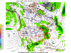
Given the structure of the system, there will be plenty of low level warm air. Below 2000ft This isn’t going to be snow (or very much snow). Temps at 850mb will warm above 0c up to about the southern ADK and southern VT. North of that in the ADK and Greens and NH mountains, 850s will stay around -3c leading to the idea that upper elevations (say 2000ft plus) will see all snow out of this system.
Now this is a fairly moisture starved system so I wouldn’t expect a TON of snow from the passage of the lows on friday. However some of the higher resolution models disagree and give the summits of the Spine – centered on Kmart-a rather robust .5 to .75 inches of liquid. With the temps forecasted that’s a good 6-9 inch snowfall. Seems a bit wet to me. I think a 3-5 inch snowfall above 2000 ft is the proper call up and down the spine. A few pockets in central VT could tip over the six inch mark of the air remains a touch colder than modeled. ADk prob. in the same 3-5 range with the Whites reaching 3-5 as well.
Following the passage of the northern low, a moderately strong cold front will sweep in from the northwest. Now models are not robust on this at all. However this year the pattern has been for these cold fronts that bring -10c to -12c air into the the ADK and VT to spark snow showers that result in the 2-4 inch snowfalls regardless of what is modeled. So look out for snow showers across the higher terrain on saturday with 2-4 inches possible, and maybe a touch more up by Jay and over on the rockpile by early saturday morning.
The next part of the story is the development of a potentially strong low pressure system that could impact the northeast on monday. Up until yesterday there really wasn’t much to say other than energy ejecting out of the west, would amplify in the low midwest and move through the mid-atlantic and out to sea. It would not phase with a northern stream shortwave diving out of the great lakes, and we wouldn’t really care. Then yesterday’s 12z GFS showed this:
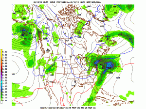
This was a deviation from the previous solutions so of course the question became, what did the overnight run show?
Well for one, they all show a developed low pressure system off the N.E. coast. (That’s good) However they have clearly reverted to the more suppressed solutions that were previously the operational GFS solution. (That’s bad). Right now, my take is to follow the pattern of the winter: suppressed storms. I feel like this wants to go out to sea. I’ll watch it closely but that’s my best guess right now.


