Shooting Chutes with Cupid’s Arrows
It’s Valentine’s Day and that means it’s time to go shooting chutes with Cupid’s arrows attached to your feet! To celebrate the day, we went out for a hike to see what we could find in the fog (which, incidentally, seems to be something of a tradition on FIS). At first we were a little punch drunk trying to even figure out what we were aiming for… love will do that sometimes.
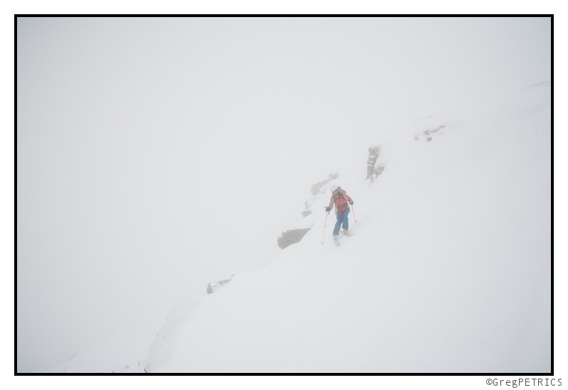
But gradually the picture got clearer, and it was apparent that we had shot our arrows into the right chute. Or was that the left chute?
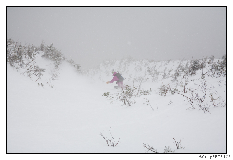
Good snow, good friends, good tight chutes, and good times in the mountains. What could be better? I guess it all just goes to hammer home the lesson we’ve been learning all winter, and which seems especially pertinent on Valentine’s Day: sometimes you have to love the one you’re with…
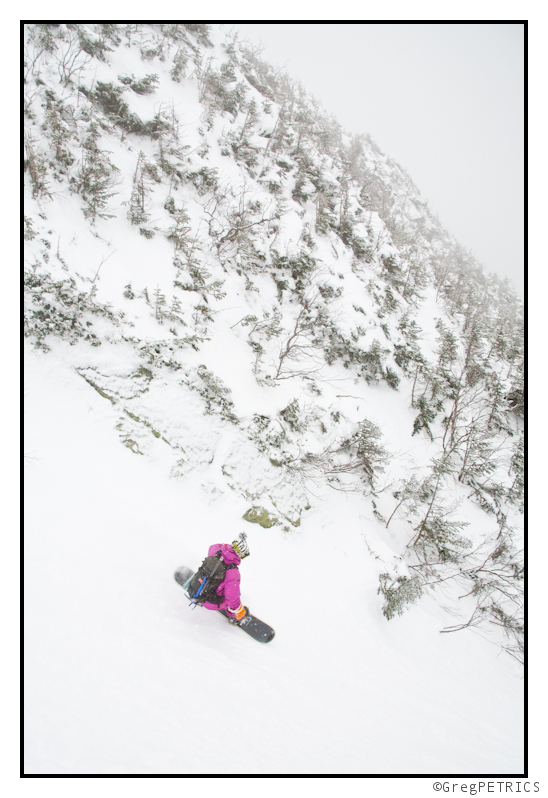
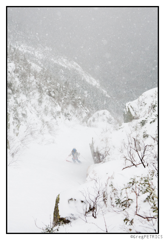
So go out there and shoot (or chute) some arrows of your own!
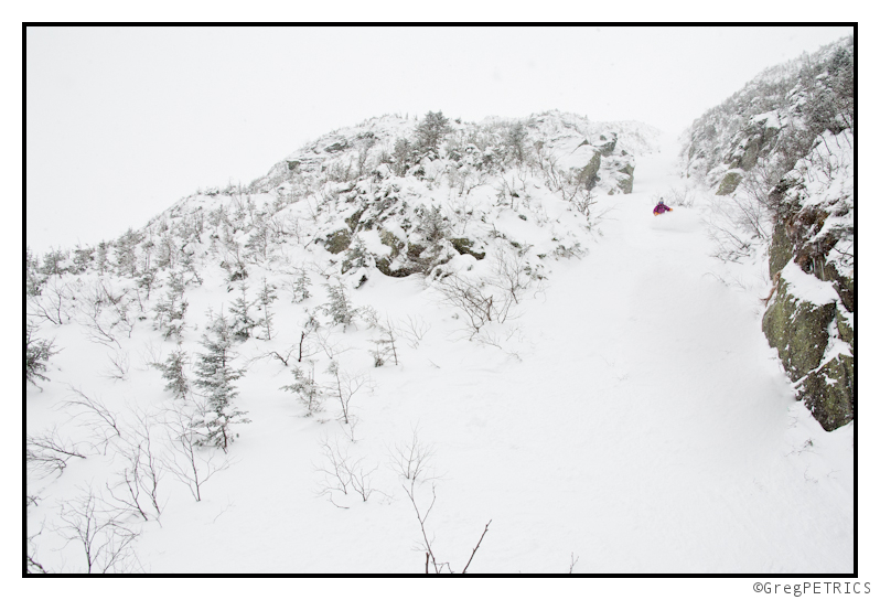
I’m back and I (might) have brought some snow.
Short post here that will become a longer post later in the week.
Currently, I am watching for a low pressure system to eject out of the southwest United States and move east in the later half of the week. As it moves east it will drift north and amplify slightly. I’m expecting that it will drift through upstate NY and the northern half of VT Friday. There will be a little bit of warm air advection on the front end. The main story however will the passage of the weaker upper level low Friday night into Saturday. That’s going to be the snow maker. Right now it’s too early to talk in greater details but it’s worth watching this event.
TR: Skiing Between The Lines
For Super Bowl Sunday, myself and a crew of adjunct FIS including Pete, Jake and Jessie, along with two fellas from EasternBackcountry, Austin and Drew, had big plans to ski big(ger) lines (than we’ve skied this season). The mountain had other plans however, and it generally doesn’t like to compromise.
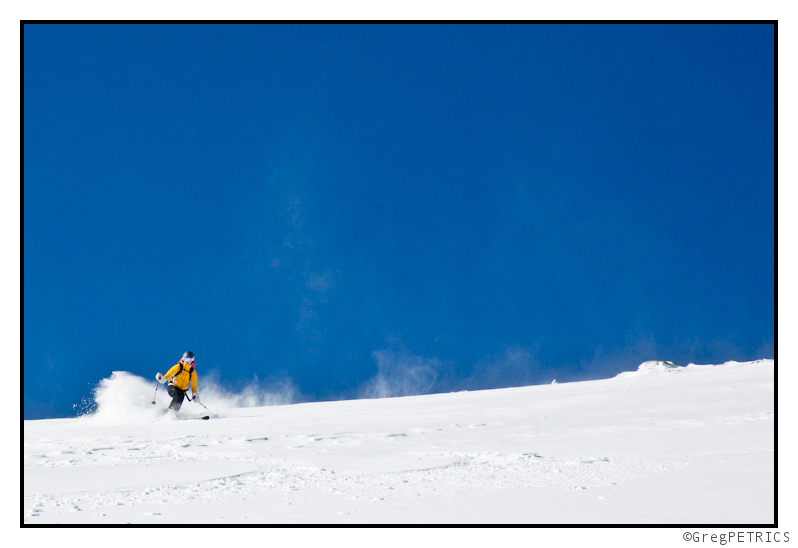
Click the picture or here to read Skiing Between The Lines
Home of Vermont’s Most Eligible Bachelor
That’s right, among other things, FIS is now the home of Vermont’s Most Eligible Bachelor, according to Seven Days. When he’s not busy studying the weather to get you the information you need to find the snow you want, Lionel Hutz is being exceptionally eligible. That a boy Lionel!!
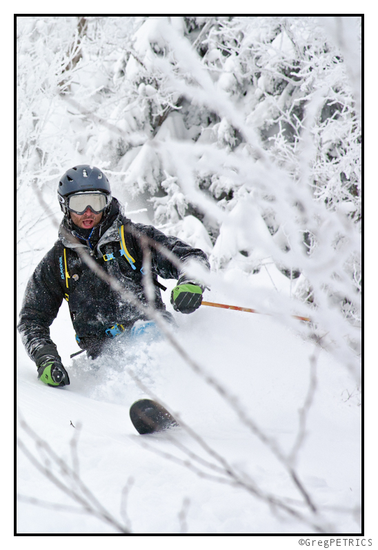
For all you ladies dying to find out more about Lionel, might we suggest you check out Lionel’s Payday to see him deep in action, or read his weather posts as they are published over on FIS Weather. In any case, thanks for reading FIS!
Wetter fur naechstes Woche (7.2.11 zwi 2.12.11)
Morgen! Ok that’s enough German. Greetings from Austria where it’s – wait for it- very cold. In fact it’s the coldest snap in the last 50 years. THe temperature on mountain here hasn’t gotten above -15c which, if you are from BRRRMont really isn’t that bad given that it’s not windy AT all and stunningly clear. That and there has been a lot of Schnapps. Really. Like A LOT and shockingly it does keep you warm. (Amazing that a people living for centuries in the mountains would have figured out a way to stay warm). BUt despite this fun, I can’t shirk my duties and leave you all at home hanging in the air about the upcoming weather.
So briefly, let me wrap up the upcoming week of weather. We’ll see sustained cold temps as a high pressure system pumps cold air into the Northeast. We should have periods of snow flurries as weak areas of moisture move through. Two noticeable events will come with re-inforcing cold fronts. As these fronts move across the -20c air at 850 will work to spark snow showers of the very light and fluffy cold snow variety. Nothing looks tooo robust on the GFS but I’m sure each of these fronts has the chance to produce 4-6 inches of light snow across the Greens and ADK. So winter looks a little locked in for the next 10 days.
Looking right now the primary front will push in friday night into saturday am. Going with 3-7 along the ADK and Green spine by saturday morning.
Beyond that we see the pattern relax a touch – which is a good thing. On or about President’s day/the few days after valentines day with the pattern relaxing we’ll see increased chances for a major east coast storm. Stay tuned.


