SPAM #16: Barney and Friends
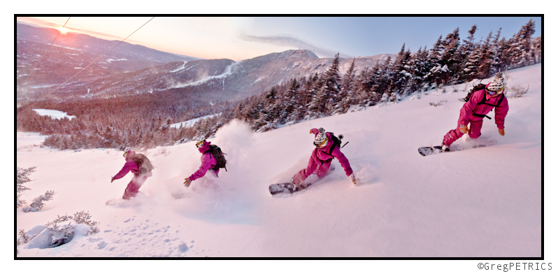
While I organize the holiday week’s events into some sort of a TR, here’s an installment to the (not defunct!) SPAM Series. We were up for a dawn patrol due to the dual impetii of blacked-out-passes, and holiday crowds, and, well, the pow and the light and the high fives were rad. The only question you might have is: “Why is this SPAM called Barney and Friends?” Well Christian (you remember Christian, right?) has a purple suit he snowboards in, and–well–he kinda looks like Barney.

As always, here’s a desktop background version. Hopefully it’s worth at least a few hours behind your workspace.
- Barney and Friends- 1000 px (right click, “Save As”)
Thanks for reading FIS! Pow shots will be coming shortly. ‘Till then: GIT SUM!
NEW YEAR UPDATE: Another Holiday Weekend, Another Holiday Weekend Weather Outlook (with no – well ok just a little- booing AND POW)
Shut up about it being a bad december. Ok? Enough already. We got it. It didn’t snow a great deal at the beginning of december. But it could have been worse and frankly, since December 16th we’ve had between 1.5 and 2.5 feet of new snow. (which might be more than Sam and Allen had) So lets all move on as 2011 looks to roll into 2012 in fine form.
The primary story over the Friday-Monday time frame will be the existance of a seasonable cold trough with a number of weak shortwave disturbances embedded in the flow. These “clipper” type storms will roll thorugh early friday and early saturday. Right now the friday wave looks weaker. Likely a 1-3/2-4 type snowfall thoughout all the ski world. (Could even reach pow clause levels depending on your plans). Word of note- as we saw a week ago, these clippers have the tendency to over perform. When they pass over the Great Lakes region, and run into the greens, models have a hard time accurately capturing the amount of moisture sucked up and then spit out into the Greens. So lets watch that one.
The Saturday storm looks a bit wetter. Models right now seem to track it south, leading to more coastal/maritime air interaction, subsequent deepening and therefore more moisture. Best guess right now is that the storm does deepen more than the friday wave but doesn’t get as defined as the NAM model shows. Personally I like a slow moving upper level low. Those produce a fair amount of mountain snow. The GFS has this look and I’ve sorta been privately on this idea for a while. Right now lets say this wave has the opportunity to produce 3-6 with pockets of 7/8 inches of snow from the Catskills and Berks well north through the ADK and VT.
-12/30 Update-
Ok so now these events are looking warmer. And honestly I’m surprised. I just find it hard to believe that this strong arctic high would just be undercut and bumped off by a weak low pressure system. However it looks like that will be the case. As a consequence the saturday storm will roll in as a mix of light mixed precip- snow, sleet and some freezing rain.
END UPDATE
After that, the models are hinting at a brief southwest flow induced warm up as a northern stream wave deepens over the lakes. This is a somewhat new model solution so it needs to be watched. Nevertheless it doesn’t seem to have much moisture with the warm air and it punches a robust cold front through early on monday. The front and cold air could spark some VERY impressive upslope snow from 1/2 (late) to 1/4 across the Greens. Model runs showing exactly what I want to see and I’m pretty stoked on the early january powder schuss possibilities- esp. with a reinforcing cold shot of air dropping the temps in the region of prime uplift into the -12 to -16c range. Well also def. going to see a high of five someplaces on tuesday/wed.
UPDATE at 1PM on JANUARY 1st 2012:
Well right now I’m pretty happy about what the next 48 hours are going to bring. As noted above, as a low pressure system moves across the north a strong cold front will push through. Some mixed precip and rain will be on the front end. By around midnight tonight temps will have fallen to below freezing and be about -8c at elevation. With the location of the low a southwest flow will develop. These patterns do a great job of sucking up lake moisture and streaming it into the ADK (like it often just shoots right at whiteface) and the Greens. Of course that’s good when combined with cold temps and orographic lift. Starting maybe 6-8 am tomorrow we should some great dendritic growth with the flakes. All up and down the ADK and Greens the system should run for at least the following 24 hours. Overall when the event winds down on tuesday night…or there abouts…I’m pretty certain somebody is getting 8+ of blower…or more if banding sets up.
Holiday Weekend Weather (UPDATED…Now with Less Boooing)
If I had a dime for each time somebody up and asked me “where is winter” over the last week, i’d…well I’d have about $1.60. (I don’t get out that much). And to be honest, winter is where winter is. This year we’ve seen a record (or near record setting) AO signal for much of December. There has correspondingly been a complete lack of any real deep cold across the entire country. Combined with a positve NAO and bad pacific set up anything that comes across the country either is going to stay to the south (Charlie being the exception) or amplify to our west and turn into the great lakes. BOOOOO and double BOOOOO (quick pass me a snowball so I can wing it at Santa).
Regardless, we do have a holiday weekend coming up, there IS a storm brewing, AND SCHUSS MUST BE HAD (unless like me, you are traveling south. Palm – Forehead).
So…
Tonight we’ll see low pressure amplify under the influence of a weak 500mb trough. The surface low will move up along a frontal boundary and skirt along the NJ coast and off the tip of L/I. By tomorrow morning the storm will have brought snows to the poconos, Catskills and Berkshires. With temp profiles not really conducive to fluffy snows, the relatively decent amount of moisture wrung out will likely only produce mild snowfalls. Generally I’d see 1-3 in lower areas with 2-5 widespread above 2000ft with MAYBE a pocket of 6-8 in the Berkshires.
Following in the wake of this storm, cool high pressure will build in (wow a novel pattern…not). Saturday will be generally clear and cool across the entire Northeast. A few snow showers could spark up along the green spine but generally we’ll see sunny conditions rule. Sunday looks like more of the same, though a weak system skirting to our north may spark some later in the day snow showers across the higher terrain.
UPDATE UPDATE UPDATE
So it now looks like as the shortwave moves to our north it will intensify, maybe pick up some lakes moisture and bring a little more than snow showers across the higher terrain of the ADK and VT. Right now, both the GFS and the NAM show a much stronger “clipper” storm. Given history I’d say that it’s certainly possible that this event will move from the 0-3 range into the 4-6 range across the higher terrain. So Monday am, might be a nice time to get out and make a schuss.
END UPDATE
On monday, as the high slides east, a return flow will start to set up leading to warmer temperatures and some snow showers maybe set off by the change in wind direction and lake moisture. After that, long term the GFS looks seasonal to slightly above average. The Euro looks confused and the Canadian model is still in jail after rioting in Vancouver.
UPDATE UPDATE UPDATE
Now it looks like all the major models want to phase some northen and southern energy and produce a storm around the 28th. Seems reasonable and pattern has been fairly consistent that this would be a good time for a storm. I’m thinking that the primary low will stay towards the south and the prime target area will be the southern ADK and Central VT on into NH right now. Just sorta what my gut and the models tell me. This clearly will change. But for now, be aware something is brewing for mid-next week.
END UPDATE
A Week of Adventures on Mt. Shuksan Video+TR

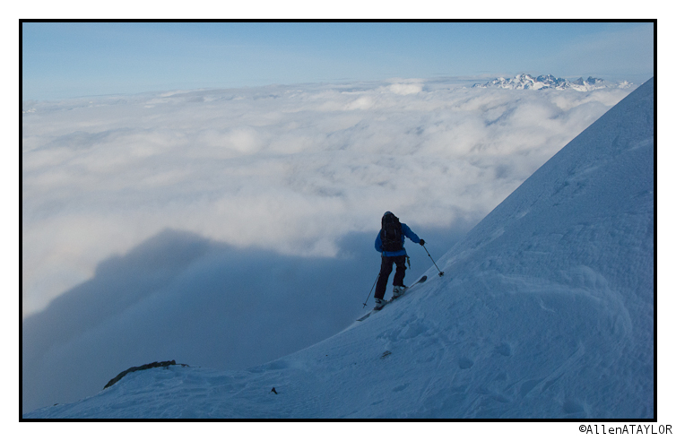
Allen and Sam check in with a week’s worth of climbing and skiing on Shuksan during high pressure. Click the photo for more.
TR: High (of) Five
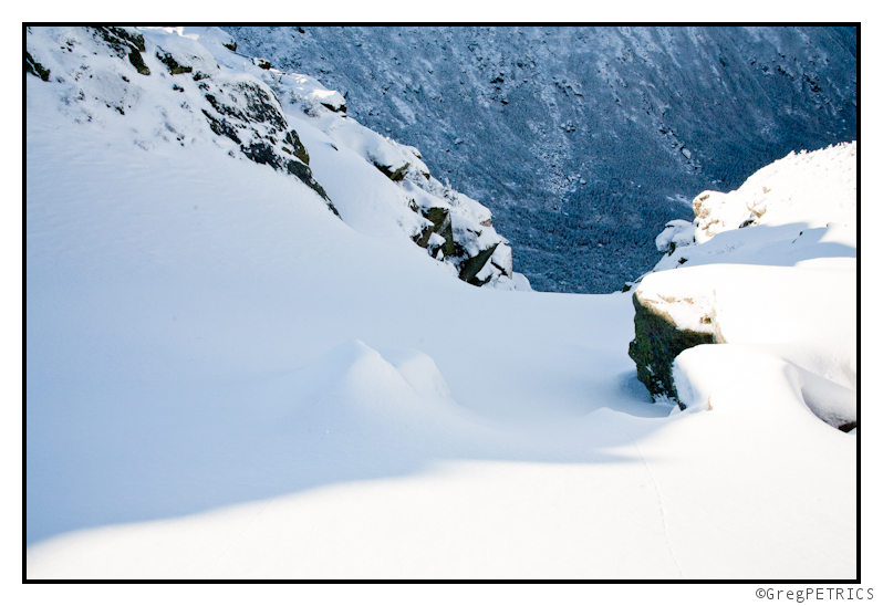
The whispers in the air last night were that it had finally really begun. We braved a high of five to potentially exchange high fives as we checked it out:

Click the picture or here to read: High (of) Five


