Sun+Pow=Treat
If you aren’t aware, we like mathematical equations that involve powder and schuss here at FIS. This afternoon we discovered yet another one: Sun+Powder=Treat. In particular, sunny skies and powder do not equal a trick.
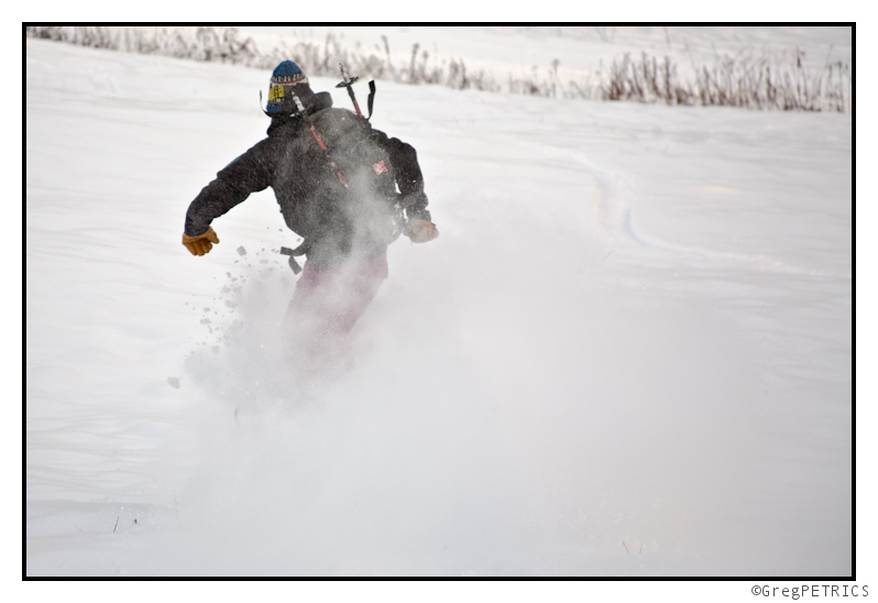
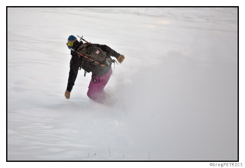
The best part? Full size candy bars. No no, just kidding. The best part is that there’s more on the way Saturday night.
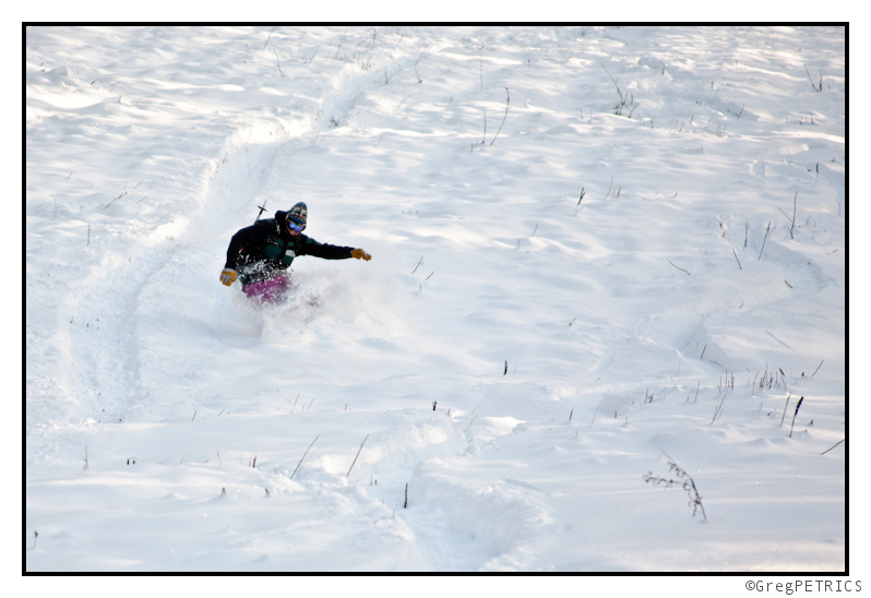
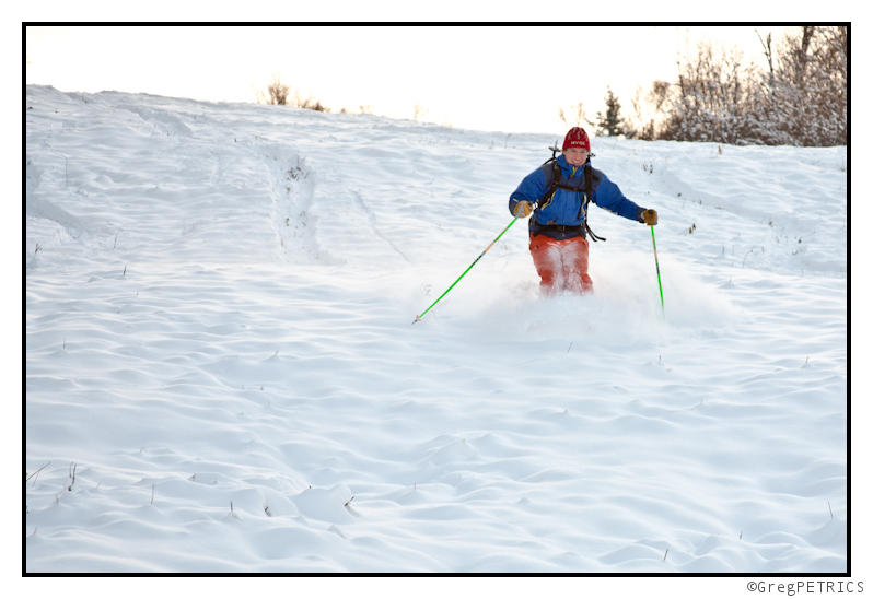
Until then we’re just enjoying the beautiful sights of winter in October.
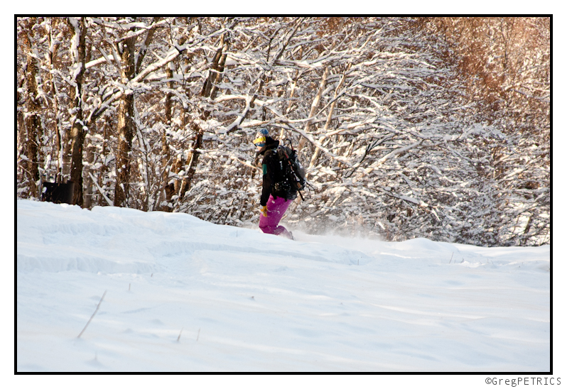
See you out in the storm! Git sum!

Trick, or Treat?
Is this is a trick? Or is this a treat? We were soon about to find out…
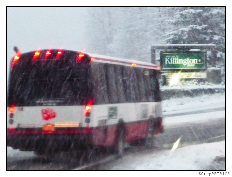
Some neighborhoods tend to give out the full size candy bars, and some don’t. We went looking for the full size candybars.
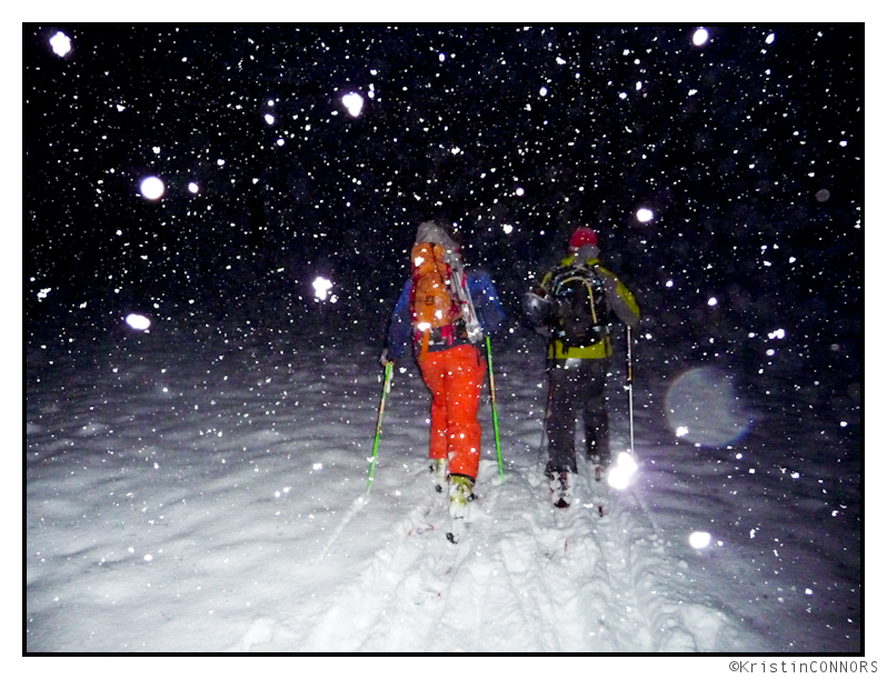
Look. I’m not going to sit here and tell you these are the best pictures ever. I know they’re not my best. It was snowing a blizzard, it was dark, it was cold, it was windy and the filter on my camera shattered. But you know what? We had a lot of fun eating full size candy ba—I mean, SKIING POW on October 27, 2011.
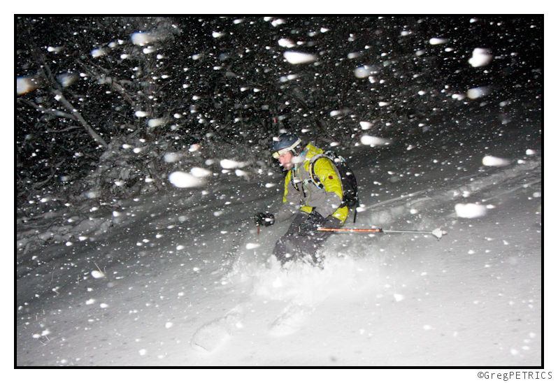
Sew gowe git sum four urself… Earn you candy bars. Earn your turns.
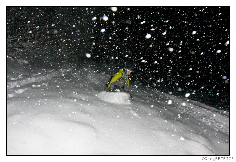
Full TR later once we see what the rest of this week brings!
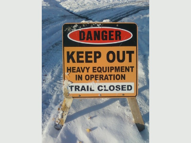
QUICK EDIT: Just editing this really quickly at lunch to say “Apparently the ‘K‘ in OKtober doesn’t stand for HiKing Killington…” This was spotted at the base area today. Too bad for hikers.. The good news for everyone else is: KILLINGTON OPENS TOMORROW!!
UPDATED: Large Coastal Storm Set to Impact Northeast: Major Winter Storm “Baker”
Going to make this short, clear and to the damn point. Last week in my write up I alluded to the potential for large coastal development. The European model hit this solution and stuck with for a few days, but finally pushed the storm out to sea. Hope was lost. It shouldn’t have been. As last night, Mr. Coastal Came back. Since our little buddy here as the potential to produce as much as a foot of snow, he’s earning the Major Winter Storm prefix.
Lets get to it. Both the GFS and the NAM have clearly defined solutions in agreement. BOth show a shortwave interacting with a frontal boundary and spinning up a surface low somewhere in the DelMarVa/NC/VA region. The low then tracks along the coast bringing large precip amounts. to the N/E. As Saturday turns into sunday it could get pretty snowy as 850 temps would support frozen precip almost all the way to I95. Water totals are BIG. As the storm tracks n/e it would spread significant moisture through the Poconos, southern tier of NY, Mass and NH. Snow totals across the higher elevations could be in the 8-14 range fairly easily with possibly a touch more in NH and Maine.
So wait – you might be asking why and I talking about this. There isn’t any skiing down there. (With the exception of some fun little trails in the Poconos). Well here is why. Because Able tracked further to the NW. Baker’s now being modeled to track further to the NW than it was a week ago. As such the smart half of my brain ( I think I have smart half and dumb half) is telling me: baker will move N/W with time as well, or at least that I should seriously consider the possibility that Baker will move NW with time. Were this to happen I’d again put Southern VT in the kill zone.
Ok. That’s that for now. I’ll get some MS paint snow maps up later today.
UPDATE UPDATE
And we have a N/W trend.
Looking at the 500mb Vort Max maps this morning when I wrote the above I notice the surface low and wasn’t tracking in accordance with the standard rules given the shape of the h500 trough. Normally surface lows track under the area of maximum upper level divergence. This, in a sharply negatively tilted trough, means a track towards the N/W and occlusion. In the storm here, I said the models haven’t caught up with the placement of the surface low but are showing us with the trough where they think the low will go. SO what does this mean.
Well first it means don’t close the book on this storm yet. Second it means if you live along the Green spine…be prepared for snow in amounts greater than currently forecasted. Well Lionel…how much? So to answer that question I asked the snow bunny. He was surprised I asked for his guidance so soon again. And frankly he seemed a little mad. I guess that what happens when you are 3lb rodent and I ate all your carrots.
Regardless, I remember I can do this snowfall thing too. He is my best guess currently:
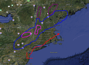
The area bounded by blue will see snow. 4-8 inches across the wide area with pockets of 10-12 across the highest terrain possible. Areas in Pink should see a very heavy snowfall. 8-16 inches is very reasonable. The Magenta covers areas that right now are getting 0-3 inches but where I feel there is the chance if the N/W trend continues to see upward of 3-6 inches of snow. As for timing snow will break out in the catskills first midday saturday and then begin to work n/e throughout the day with peak intensity across Mass and So. Vt late saturday.
I’m serious when I say this is a situation in flux. There is a clear trend to the N/W on computer guidance…and that makes sense. Hence I reserve the right to adjust accordingly.
WED EVENING UPDATE: Full Size Candy Bars!! Winter Weather Event “Able”
You know what’s awesome? Houses that give out full size candy bars on Halloween. It’s like the homeowners’ are saying to the rest of neighborhood: “Paul did well this year, and you know what, here’s our middle finger. We’re better than the rest of you.” As kid, you gotta love it and respect the game. You know what ELSE is awesome? Snow storms on Halloween weekend. Oh wait…what?..Fall snow? Un-possible! (Oh and WTF is with Winter Weather Event “Able”)
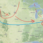
By thursday, a frontal boundary will be draped across the country (arched blue line) in the approx. position shown above. At the same time a shortwave trough (red U shape) will swing down from the central plains/high plains with a strong vort max (red x). As the trough and the associated vort max reaches the great lakes region ohio valley, it will begin to interact with the frontal boundary, with downstream upper level divergence ahead of the vort max, the interaction with the frontal boundary has the potential to spark cyclogenesis. Actually let me rephrase that. It WILL spark some cyclogenesis. How much, and where that system winds up is really the question. You’ll note that in the image above I’d noted where I think the trough and vort max will exist come later on thursday (dotted red line). That’s a great position for moderatly strong N/E fall storm.
With that position, you sorta have two options.
1: the trough to could tilt westward with height (called negatively tilting) and really start to wrap up a powerful storm. Said storm would track back towards the NW and bring some really interesting weather to the ADK and Northern Greens. (It could also track WAY west as storms have done this year and bring rains…less likely). We’d see the low tracking in that vertical red oval.
2: The trough never really tilts and spins off a moderate strength low that slides along the frontal boundary. This would bring the heavist weather to Southern VT as the low picks up juice from the ocean. The low would track right along in the horizontal red oval.
So ok…computer guidance has plotted BOTH solutions. Recently all major computer guidance has hinted at the second option. However much this fall has verified warmer and further n/w than modeled. With that as a trend you have to take seriously the first option. Coincedently, this was the preferred solution as far back as 10 days ago- giving a little more weight to that option.
With that said, then here is a first idea:
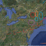
I see the low not really wrapping up that tightly but following a track that is further to the n/w than modeled. I think this brings the best chances for snows to places like Southern VT and NH. (Circled in blue in case you don’t know where Southern VT is). I’m not going to talk totals or elevations YET but this event could produce nicely schussable snow here. Next, in northern VT I think the we see snow, in lesser amounts, but to a lower elevation. The ADK follows a similar pattern but remains on the edge with lesser amounts. The catskills are tricky…they could get a very solid snow or they could get mixed out rain and precip. Right now, I’ll lean towards mixed to snow.
We’ll talk totals later in the week and preserve ourselves the right to adjust this towards solution 1 above as necessary. Oh and just keep your eyes on sunday as well. There is the potential for coastal development.
WEDNESDAY AM UPDATE:
Model consensus is on solution 1 outlined above. At this time my thinking is that the a series of weak impulses will ride that frontal boundary starting early thursday am and culminating in a large impulse that scoots along late thursday night and early friday am. Real accumulating snows (greater than dusting to an inch) will reach about as far north as Kmart with the majority of heavy snow confined to the higher terrain of the Catskills, and Berks. There we could see upwards of 6 inches across the higher terrain with the chance for 8+ across the very tips of the catskills – assuming the thermal profile stays as modeled.
Now – as for the mention of Sunday….there will be costal development…but it will likely be too far s/e to affect “ski country.” Thinking however that PHL, NYC and the Cap see some flurries out of this and maybe even a few inches. Cool. I guess.
WEDNESDAY PM UPDATE:
So ok…Lets say this…it’s going to snow, starting tomorrow morning, across the high ground of the catskills, berks and southern VT. Simple as that. By late thursday, we’ll see snows maxing out in the 3-6 inches across this region. The highest snow totals will occur in southern VT where it’s possible the very highest terrain creeps into the 8 inch range if everything breaks right. Will it? Yea. I’ll say it does. The orographic flow is good for the southern VT mountains and we’ve been trending a toucher cooler than guidance for the last few days. So why not.
High Anxiety Films Presents: Northeast Edit
Just as Lionel’s Winter Outlook is a big cue that the 2011/2012 East Coast ski season is about to put its tips up and get ready to schuss (the PNW and Utah seasons, of course, have already started), Chris Nelson, proprietor over at High Anxiety Films, has released his Fall 2011 flick![]() Named, creatively, “Northeast Ski/Ride Edit” we really dig this one. Featuring footage of his exploits throughout the northeast, there’s also some video documentation of two TRs from last season here on FIS, The Winter Carnival (and Greg’s digger!), and a High Five Equation. So check it out! It’s definitely worth a few minutes:
Named, creatively, “Northeast Ski/Ride Edit” we really dig this one. Featuring footage of his exploits throughout the northeast, there’s also some video documentation of two TRs from last season here on FIS, The Winter Carnival (and Greg’s digger!), and a High Five Equation. So check it out! It’s definitely worth a few minutes:
This is an entry in our Local Film Series that we’re running in order to feature and promote small, independent, non-commerical ski flicks. Why spend piles of dollars to go see a glorified commercial when there’s “flickering-light-stoke” that’s not trying to sell you anything available free from the comfort of your office chair? Enjoy!


