LH Peek at the Week: Early Spring Storm followed by cold
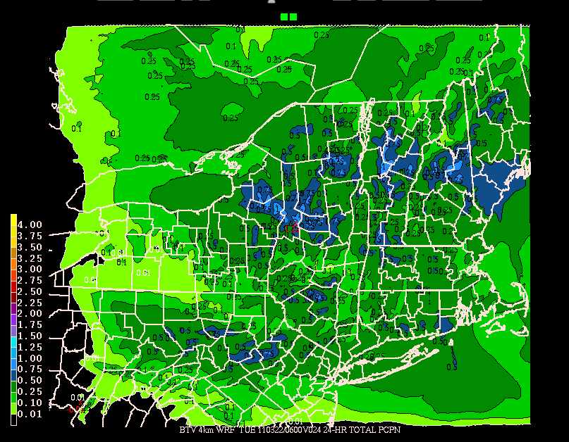
Spring will start with a snow storm. Throughout today, northern stream energy will swing into the Northeast. With below freezing temps this storm will bring snow over the next 24 hours. High resolution modeling indicates that the High Peaks and the Green Spine could see up to an inch of liquid by early tuesday morning.
With the temperature profile in place I’d estimate this works out to 6-12 inches of wet spring snow.
In the wake of this system we’ll see below average temps for the next few days. N and NW winds will keep highs in the low to mid 30s. Snow showers will be likely through at least wednesday am as well. Sun will break out again midweek and then we’ll look for some other energy working into the region come late week.
L.H. Weekend Outlook: cool and sunny
Fri: Warm with clouds building in ahead of cold front progged to drop down from the NW. Showers with frontal passage later in the afternoon. Light snows likely in wake of front especially along the northern green spine. Hard freeze likely as temps drop into low teens.
Sat: Clear and Sunny. Temps in the low to mid 30s. Chilly N. wind. Wait till around 11 am for best ski conditions as sun and temps will bake the corn just so.
Sunday: Sunny. Warmer. Temps mid 30s to low 40s. Light winds.
So get out there.
The Ides of March… Whatever that Means
So the way I see it, the start of the NCAA tourney and the move to daylight saving time is the start of spring. While that doesn’t mean we will not get some great powder from now until the end of the ski season, it does signal a change. Greater sun angle, more hours of daylight and a retreat northward of the polar jet all mean warmer temps, messier storms and less powder. Of course, it also means stable snowpacks, sunny warm days out in the mountains and best of all: CORN!! All awesome in their own right. In fact, I’m of the personal belief that a good spring day of stable corn skiing can rival even the best of powder days. (Well- maybe not these powder days…but many of the rest of them).
Spring also marks a change in my weather forecasting. Tracking storms and storm threats day in day out is tiring. From Mid-October I’ve been watching every model run, every day, at multiple resolutions. Starting at 5:00 I’d be on the computer tracking the developments. Where’s the jet stream? Where’s that upper level energy? How cold did it get last night? What’s the RH at surface levels? Winds? Upstream temp soundings? All of it just to make sure I didn’t lead you astray. Its not that I wanted to be right, it’s that I wanted to be valuable and trusted. The fact that hundreds of you check in EVERY time there is a storm blows my mind. Just a few years ago, all of this was just a bunch of emails fired off to CouldBeBuggy. Now it’s our thing- you (the readers) and me. It’s awesome. And as winter winds down I deeply deeply thank you for your readership and support. I hope you all enjoyed the snows I tried to place you in and had a safe and happy season. Now, as I said, winter weather forecasting is tiring. I need a break sometimes. But I get that great skiing is still to be had. So what do to?
Well here’s what I’m going to do. First I’m going to keep tweeting out the “Lionelhutz Daily Weather Update” which you can get if you follow me on twitter. That will, in 140 characters, cover the basic needs for the day. Temps, winds, precip. Second, I’ll update here twice a week. Once early in the week and once before the weekend quickly outlining the basic expected weather conditions. Third, if there is a big storm in the works, I’ll go full bore. Like a moth to flame, I can’t resist cyclogensis and orographic snows. So that’s that.
Now- let’s look at the wx for the next few days.
Today, tuesday will be a great day. Temps in the 30s with light winds and plenty of sun means get out there. Clouds increase overnight with snows building in as an area of low pressure moves n/e thru NYC. Upper elevations stay snow wednesday as lower elevations mix with some rain. Amounts light to the north with a strip of heavier 6-7 inches across the highest terrain of the catskills and So. VT on into the whites. Weather turns sunny and warmer on Thrusday with highs in the upper 30s to low 40s. Friday will see another round of elevation dependent light mixed precip.
Too Much Snow
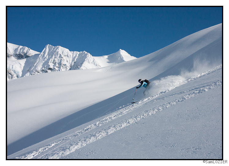
So it finally happened. It had been building for some time. We’ve gotten 10 feet of snow in the last ~14 days up at Baker, with most of that in the last 5days. Today the resort didn’t open. The reason: too much snow. We’ve got another 50+ inches forecasted for the next 5 days, so I’m using this brief lull to share some of the recent photos.
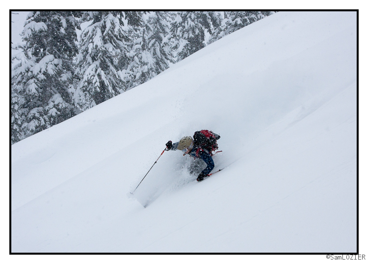
Scott, out visiting from the East Coast, was unable to ski today due to too much snow.
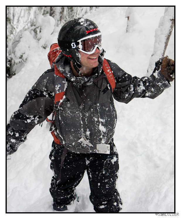
Too-much-snow days don’t have to be no-fun days though:
Frosted Cream Cheese
After yesterday’s cream cheese buffet, ULLR was gracious enough to add another layer for us to feast upon today by delivering 2-4″ of fresh last night. Indeed, combine this new snow with some NW wind to load it into the usual places, and you’ve got all the makings of a great bagel taste-sation… I mean ski schuss. First things first though: you need to find your zone before you can schuss it, and today was definitely one of those days where it was easy to get lost in the fog.
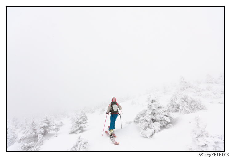
Hmmm… which way again? Are we skiing in Vermont today? Or New Hampshire? Or was it New York? I can’t remember anymore.
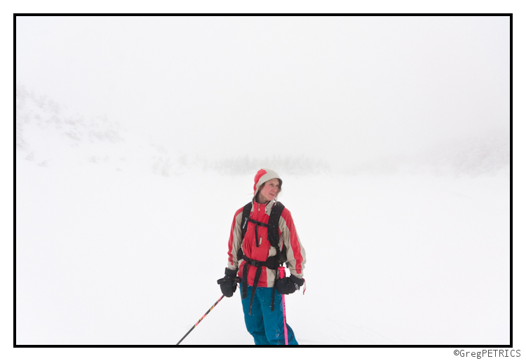
Finally we found it! Down the rabbit hole!
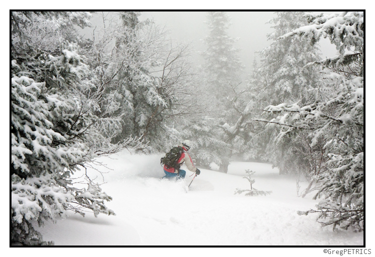
Tighten up!
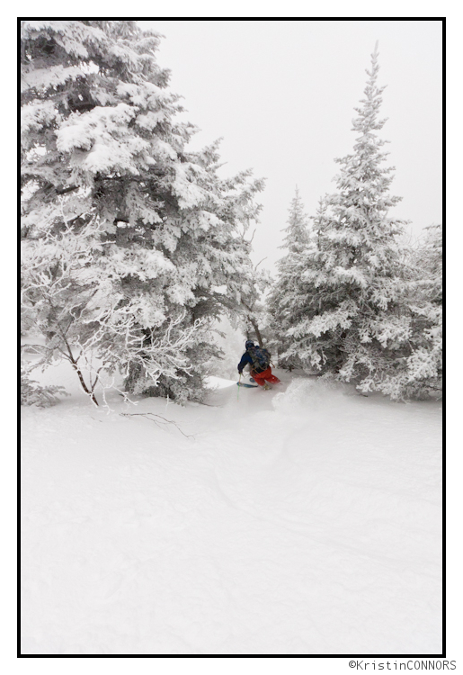
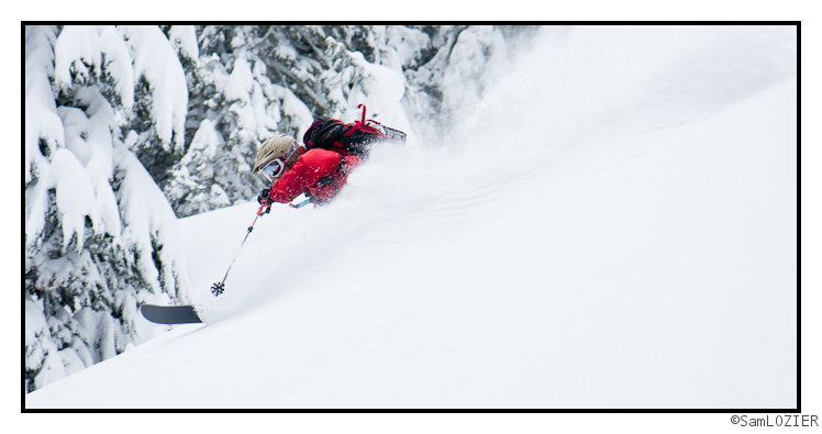
And get ready for the main event: A steep and spicy chute plunging into the hardwoods! Nothing goes better with a spicy chute than frosting and cream cheese!
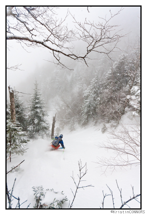
Now go out there and git sum moor! When there’s frosting on your cream cheese, don’t be afraid to SCHUSS!


