Cream Cheese
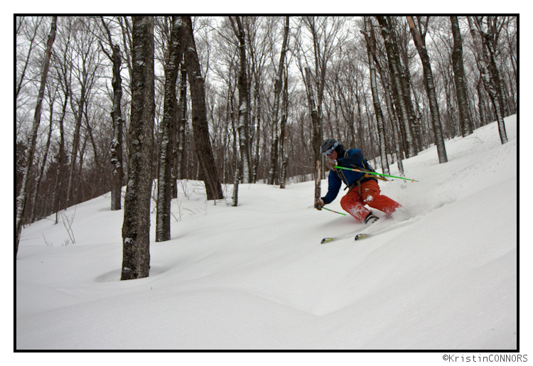
The rain on Friday may have taken our pow, but it gave us smooth cream cheese to surf. Greg and I visited a favorite hardwood spot for some untracked cheese. The skiing? Glorious. Skinning behind G after a meal of pizza, beer and ice cream? Not so glorious.
I surged ahead for some much needed fresh air and became camera lady for the afternoon.
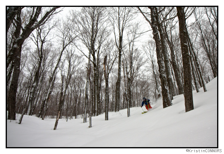
G got his surf on
And got ahead of me again, leaving me with the same view as I had on the skin up
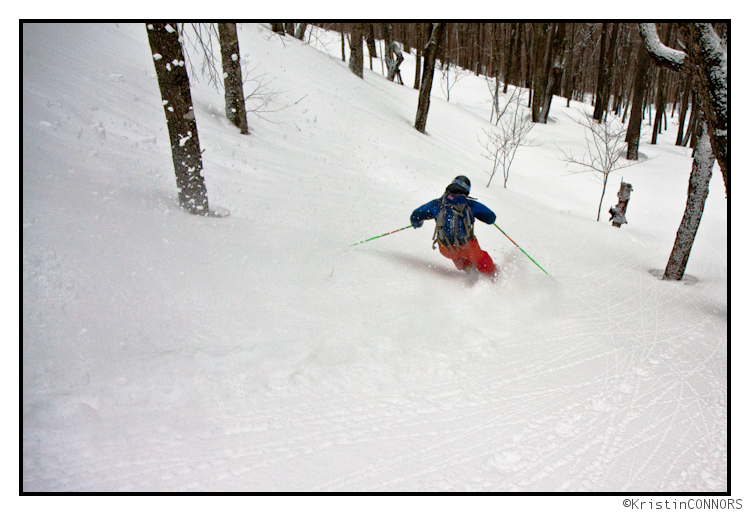
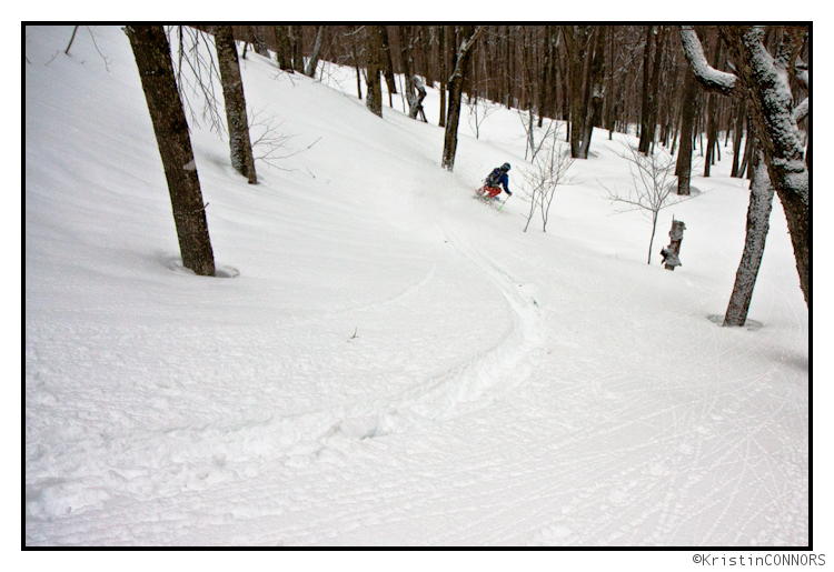
So I kept a safe distance away and laid down my own set of cream cheese tracks – switch to the road of course.
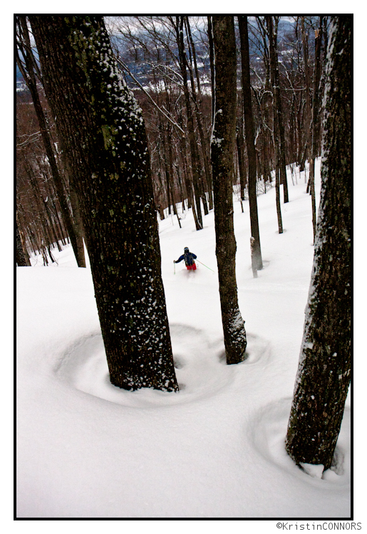
Rinse and Repeat? Don’t Think So. But Snows First!
Like the storm we just had? Well good because it’s little brother may on the way.
THURS PM UPDATE:
Looks like we have some heavy snows falling at elevation right now! Come on ULLR! Likely 6-7 already above 3000 ft with more on the way over the next few hours. Keep it up!!!
As I’ve always said- sometimes the weather does what it wants to do. Right now it wants to snow at elevation!
UPDATE:
Sadly I don’t think this one is going to work out.
After a few (3-6) inches of snow overnight and thru thursday am, cold air will get scoured out. As I discussed below, a second wave will develop along the draped cold front, somewhere down in PA. It will however slide NW instead of N or NE. This will rotate the system in such a way to bring warmth and rain on friday to the North Country. Had it stayed less rotated it would have sucked cold air down into the hills and repeated the sun-mon pattern. So tonight thru sat am looks wet. How wet? Not sure. Maybe .75 to 1.75 inches of rain are possible. Given the DEEP snowpack this will cause some serious flooding problems. Be careful.
ORIGINAL POST:
As the week progresses a shockingly similar pattern to this weekend looks to develop. A primary storm will head into the Great lakes pushing a weak ridge out into the east coast. As the warm front from the primary low passes over entrenched cold air in NY and NE isentropic lift will lead to moderate snows beginning late wednesday night and then continuing on thru early friday am.
By that time, the cold will possibly get scoured out allowing rain to move in. I say possibly because some data shows upper elevations remaining supportive of mixed frozen precip. If it does get scoured out there would be a period of about 18 hours where a cold rain could fall. At that time, a wave of low pressure will develop in Virginia- just like it did on sunday.
Clearly there are model discrepancies at this point about what happens next. Some models track this low thru NY state proper and bring rain to much of the region. Others track it right along the eastern edge of the Green spine bringing snows to NY and upper elevation VT. Personally, I lean towards the latter. I think for the low to track so sharply NW (from VA, thru PHL and then back into western NY) doesn’t match with the pattern we’ve had so far this winter. I think, looking at recent guidance and trends, that this low tracks towards the eastern side of VT.
I’ll keep you updated!
Cleaning Up After The Slob
With The Slob in the history books (or at least in an entry in the FIS archive), we decided it was time to get out there and do some cleanup work. None of us could make it to the mountain for Tuesday, so we just had to settle with getting first tracks on Wednesday instead.
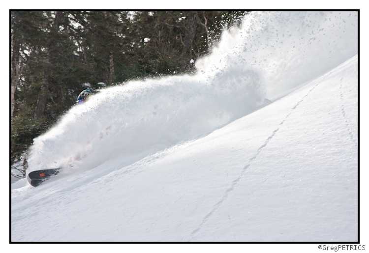
I heard from folks in town that the mountain was a mob scene on Tuesday since everyone came up to schuss all The Slob’s pow. My only question is: why was there so much untracked Slob left to cleanup on Wednesday? Who cares… cleaning up after a slob is easy when this is what you have to do.
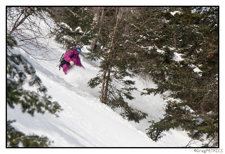
After we had our fun doing some cleanup work, Christian and I decided to head out and try a bigger line before some rain comes and maybe ruins it later this week. The entrance was tight!
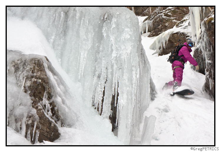
…but the line quickly opened up into a beautiful powder filled chute.
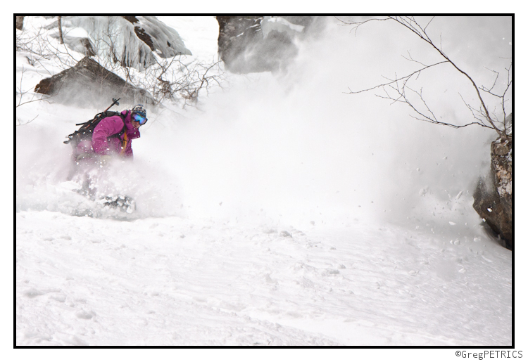
After our experience on Monday where most of the lines we tried to ride slid on ski cuts, we were glad to get this chute in without any avalanche activity. Regardless, please use extreme caution when approaching avalanche terrain in the coming days.
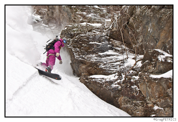
Hopefully another Slob is on deck for this weekend! This was the most fun Slob to clean up after I’ve ever met. In any case, stay on top of the upcoming weekend’s weather right here on FIS with Lionel Hutz!
Schussing The Slob
We went up and made a quick schussing of The Slob this morning. It was epicly fun, and awesomely improbable to ski pow today. Indeed, it’s hard to imagine that just yesterday it was 50 degrees F and raining, and today we were surfing on top of 30″ of fresh.
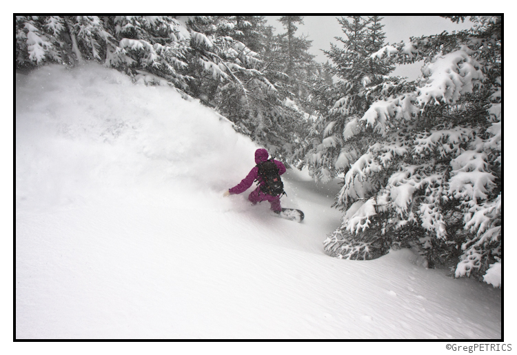
It may not be light enough to get in your face every turn, but it is GAME ON in VT again! I think without a doubt it’s worth braving the tough road conditions, and getting to the mountain. Kick up a rooster tail and ride through it… that’ll get you a faceshot!
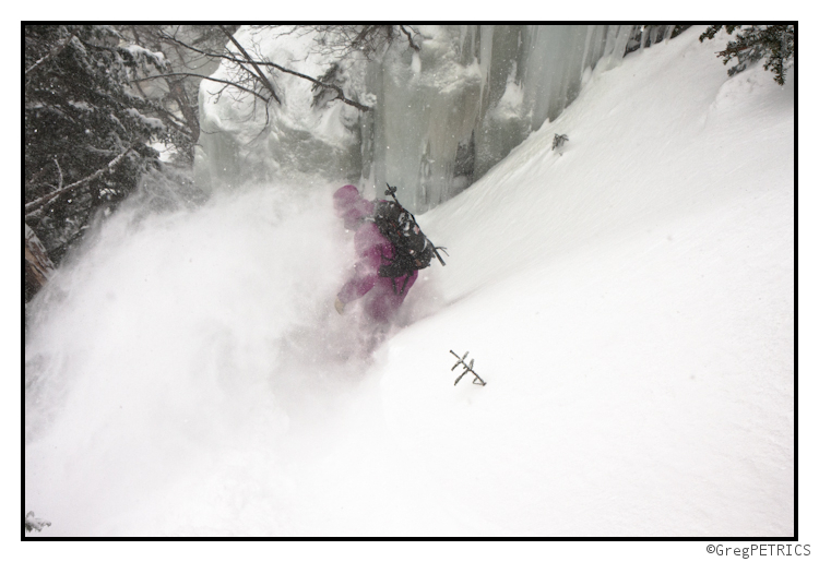
Go git sum!
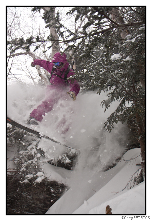
Finally, I’d just like to warn folks to be mindful of avalanches in the Vermont backcountry. We witnessed numerous slides today on well known VT backcountry zones. We were sticking to fairly tame woods zones, and even in these areas we witnessed plenty of failures. It’s not hard to imagine any more serious terrain being extremely dangerous right now. Be careful!
Smarch: In like a slob…(UPDATED WITH TOTALS)
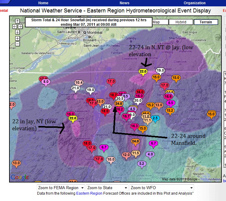
UPDATED TOTALS
BOOM:
MON. AM UPDATE
Well it hammered all night in the ADK and Greens. The area was in a region of prime frontogenesis (the tightening of a temperature gradient along a constant pressure surface) which served to really just spike snowfall rates. As I hinted at to a few of you privately, there was a period of about 6 hours there last night where snowfall rates were easily 1-2 inches an hour across the North Country.
Totals are going to be in the 16-24 inch range across the north country by midday…18 is already reported as of 5:45 in Moriah NY and 17 has been reported in Morrisville, VT…so I’d guess very similar amounts are going to found above 2000ft in the HP and Greens where it changed over much sooner.
WORD!!!
SUN. PM UPDATE:
I love winter storms. Today is the very thing I like best. I feel like a proud parent. I saw the potential for this storm, forecasted it, watched it grow and shrink in the models. Watched the rain move in and out…heard the doubters (cough cough @CouldBeBuggy) and spent all afternoon watching as this system gathered strength setting the stage for explosively snowy night.
I’ll be real simple- the snow line will move east, as a low deepens along it throughout the rest of the day. As it moves N/E through NYC area and out over RI/Cape Code it will bring very heavy weather to the entire NE. Snow totals look very much in line with the upper totals of what I’ve forecasted below with higher amounts possible across the very highest terrain.
SUN. AM UPDATE
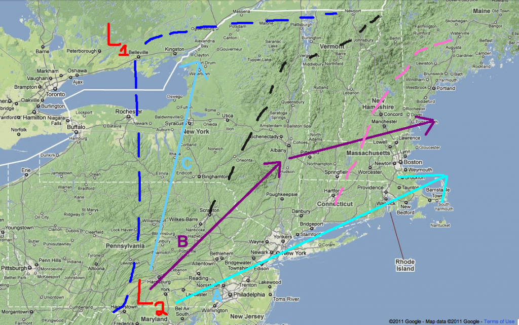
Low pressure us currently forming in VA along the stretched frontal boundary as discussed yesterday. The cold front is also working its way east. These two features will conspire to turn rain over to snow between 9 and 10 am in the ADK and between 10-noon in VT. As the low deepens it looks like it will track close the track B below- maybe even little south of that. This will bring snows thru southern VT and the catskills. The whites will see snow breaking out later today.
Amounts look to be inline with what was discussed yesterday. 8-14 of heavy wet snow in the ADK and Nor. Greens. 8-16 in the Whites. 6-8 So. VT and 4-6 in the Catskills.
SAT AM UPDATE
While there is still large model discrepancy at this point, myself and a majority of seasoned forecasters are honing in on the solution that brings heavy wet snows to the high elevations of the Adirondacks, Greens and Whites. This was an idea I put out there below and felt pretty good about then. I feel even better about it now despite the lack of model consensus.
So let me quickly explain what’s up:
Start with “L1”. That’s the low pressure system currently working into the northern great lakes and pushing a ridge out in the east. The dotted blue lines represent the mean freezing lines tonight. Moving to “L2” This represents the developing wave of low pressure that will be key in the forecast. “A, B and C” represent model predicted paths. I favor B , then A. If B were to verify as the system moved north the freezing line for upper elevations would just about mirror the dotted black line with a few pockets in the central greens. If track A verified the freezing line would be the dotted pink line. Track B brings heavy heavy snows to the ADK and Northern Green Spine then a mix to heavy snow to the Whites. Track A brings lesser snows to the ADK and Greens but pummels the whites early monday morning with up to two feet of very very heavy wet snow. Track C has been the NAM solution and I don’t buy it. Neither does the NWS or several other forecasters I trust.
So what does this add up to?
Areas in blue represent elevations above 2000ft. I believe these areas will see 4-8 inches of snow. Areas in Red approx. areas above 3000ft. I think these areas have a vert good chance of seeing 8-16 inches of heavy snow. Timing this is tricky – but GENERALLY snow should break out between mid-day and late afternoon on Sunday and then continue on into Monday. Over in the Whites, if I’m right on the track it’s generally a 4-8 inch storm with snow mixing in sunday evening and then a change over monday morning to heavy snow. If the coastal track verifies then, as I said, the whites would see the heaviest snows with the above essentially flipping around to favor the Whites.
ORIGINAL POST
Welcome to March. That’s really all I have to say right now. March just is a forecasting nightmare plain and simple. Nothing exemplifies that more than the events due to unfold this weekend. So without dragging you all thru some dead-weight introduction I’ll jump right in…
On Friday night, a surface low will deepen and move into the northern plains. As it does a high pressure system will slide southeast setting up a return flow of air on the back side of the high from the south. With warm air moving north on the eastern side of the low, these two features will pump a dirty ridge of air into the Northeast. Low level to mid level (850 mb) temps will hold below freezing thru the night as the warm air rides over the system. The light to moderate moisture streaming north in the ridge will result in wet snow-sleet- and freezing rain for the ADK and Greens Friday night into Saturday late morning.
By mid-afternoon Saturday much of the ADK’s cold will be scoured out along with that along the higher terrain of the greens. The eastern slopes and valleys might stay below freezing at lower levels (setting up some dangerous icing possibilities). As the low moves eastward it will continue to train moisture into the region. However the total qpf for this period is substantially lower than than previously forecasted. At most .5 to .75 inches of rain will fall in the Greens and the ADk thru Saturday night.
As for the whites…no I didn’t forget you…you actually have a decent day saturday as the moisture hasn’t reached you all yet. Some downsloping from the backside of the ridge might even result in sunny skies.
Ok- so that’s not that hard to forecast…but that’s about to change.
Sometime sunday, a second wave of low pressure will work up along the leading edge of the cold front pushed east by the first storm. From that point the models GREATLY diverge. The NAM has the wave saying open, and really being a non-event. The GFS and the EURO both wrap the low off into a surface cyclone. The GFS hammers the ADK and Greens above 2500-3000 ft. The EURO hammers the whites with two feet of roof collapsing, avy danger skyrocketing snow.
So who to believe? Well the NAM pretty much stalls the system for 48 hours and will likely undergo a phase shift over the next few model runs. That model does well with some things but location of systems that are more than 60 hours away isn’t one of them. The GFS has been consistent with this storm and the EURO seems to agree with much of the solution.
So here’s what I say. Saturday will be kinda rainy but not downpour-ish at all. Afternoon hours will see a few steady to moderate rain showers. Will it wet the snow pack? Yes. Will it blow it out and melt out all the runs? No. So go out with a hard-shell on and find a run that needs some water and warmth to be fun stable and safe.
Then on sunday, I think the second wave deepens tracking a surface low right over S/E NY state into Monday. This favors heavy wet snow in the ADK and Northern Greens and rain to start in NH. NH goes to snow as the system scoots off the coast of Maine and cold high pressure back builds in to the Northeast for the start of next week. Totals you ask? Well, not to cop out but I think we wait on those. This storm isn’t about the totals but the type of precip, so until I feel more comfortable with that question, talking totals is just hot air. Errr…Cold air…


