All Aboard the Bus to Pow Town? HECK YES!
Update on totals:
Jay Peak: 9”
Burke: 12”
Smuggler’s Notch: 10”
Stowe: 13”
Bolton Valley: 16”
Mad River Glen: 9”
Sugarbush: 10”
Pico: 14”
Killington: 14”
Magic Mountain: 14”
Stratton: 15”
Mount Snow: 14″
ADK High Peaks 14″
Whiteface: 14″
Plattekill: 12″
Cannon: 11″
Bretton Woods: 8″
Wildcat: 9″
So reviewing those totals, it looks we were right that the heaviest snow would fall in the Central Greens. However I should have noticed the pivoting sooner and upped the ADK totals before yesterday morning. However I’m pretty happy with the progression of the forecasting. It snowed less than I thought it would in the whites. Not sure…maybe some rain/sleet mixed in. The larger totals at Stowe and Bolton are likely the result of a little tail-end orographic snows late last night (10-11 pm). So yea…awesome day to ski today. Have fun.
2/25/11 I’m swamped at work but love you all more than my job update
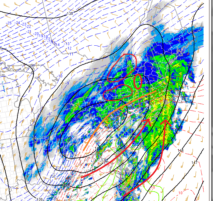
As noted in the early am update, the axis of the storm would pivot as the 500m trough deepened and the surface low began to occlude, sucking towards the NW.
Well look at the differnce in storm orientation below:
You can clealy see the orientation of the storm by looking at the tilt of the warm front (orange). Clearly it’s more negatively tilted than it was this am. That indicates a deeper storm. Strong WAA moving in from the south (red arrows) is driving up over the cold air sparking heavy snowfall rates.
The areas circled in red will be the hardest hit. Def. 12 inches likely in S0./Cent. VT. 8-10 in the catskills, 5-9 in the ADK and NH will be close. Any more negative tilt and it might get warm out there. If we stay steady as the storm progresses west it stays all snow and 8-10 is likely across the high whites. Lets watch this and see how it goes.
Rember as my buddy says “Nobody knows where this pow will take us.”
2/25/11 AM – I haven’t had any caffeine yet update
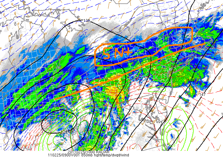
So here’s the storm:
I’ve drawn the location of the warm front, and circled the area where isentropic lift is creating heavy snows. Right now, the storm is tracking SOUTH of it’s mean predicted path. I think it will move north and pivot NW as the day goes on, spreading snows into the north country. The big winner, given the pattern right now is most likely the central/southern greens and then the whites.
2/24/11 Afternoon UPDATE TO DISCUSS WHITE MOUTAINS
Well hope you have your tickets ready because the bus is getting going. So step over the wino, skip past the puddle of hobo pee, and jump on board..
Looking at the latest model data I feel very confident that the heaviest snows will fall along the central Green spine from MRG south past K-Mart. In this area anywhere from 10-16 inches of heavy snow are possible. A little sleet might mix in as the mid-levels warm to near -1c early tomorrow.
Northern Greens and the High Peaks region should see 6-12 inches of snow with a few pockes of 8-14 along SW facing ridges.
Down in the southern ADK I think there is a pocket- n/w of albany – maybe speculator/Indian Falls that seems very heavy snow in the neighborhood of 12-16 inches.
Now, turning to the Whites, snow will break out early tomorrow morning and with a very close mixing line remain heavy. However, with almost 1.5 to 1.75 inches of moisture possible a heavy foot to 14 inches of snow is well possible. Mt. Washington and the high presi range will obviously see greater amounts -likely in the 14-18 range. Now winds winds winds…First they will hammer out of the SW, then roate briefly to the east and abate and then finally turn north and n/w as saturday rolls around. Wind transport is tricky as this will be a somewhat wet snow. Good for bonding- bad for moving.
Original Post
After a quiet spell of weather in the East Coast it might just be time to take the bus to pow town.
Energy moving east later in the week has the potential to amplify and deliver a swatch of 8-10 inches across NY and VT.
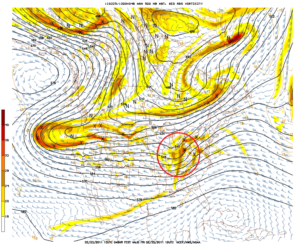
On Friday, shortwave energy ejecting out of the west and riding Northern branch energy will amplify as it moves into the Northeast.
Both the Euro and the NAM clearly this this shortwave energy:
Euro:
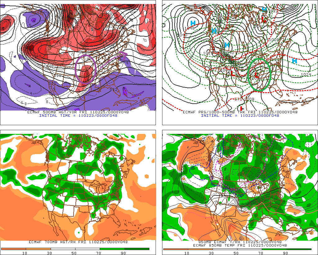
As the energy moves into a frontal zone draped across the country it will spark surface cyclogenesis.
This surface storm will slide east into western PA by friday morning as depicted below:
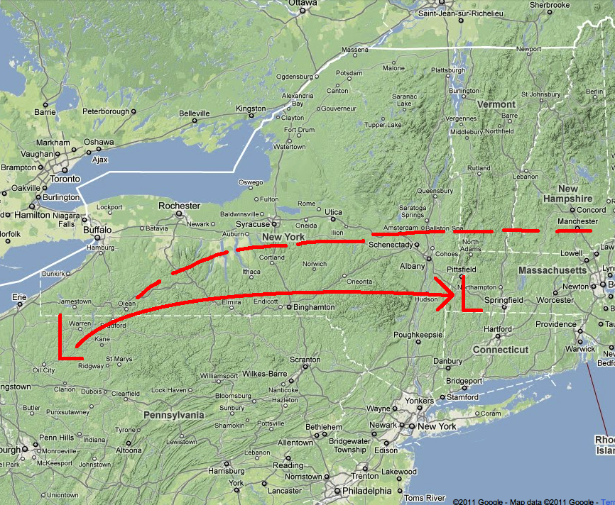
The solid red line shows the mean predicted surface track. The dotted red line indicates the key element to this storm. The location of the warm front. Now why is that central to this forecast? Well….because this storm is going to primarily be a snow producer because of isentropic lift. That’s lift when warm air from the south slides up and over entrenched cold air and spreads out into stratiform clouds and precip. This pattern can produce TREMENDOUS periods of snow just north of the warm front…as the thunder-snow of a few weeks ago can attest to.
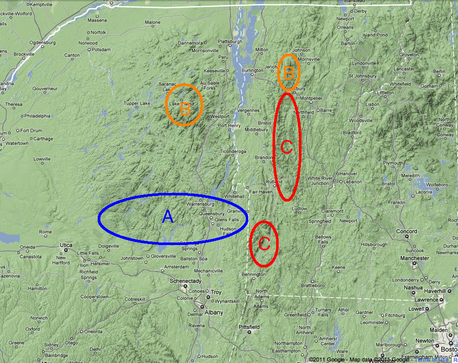
So when all is said and done, here is what I think the storm will bring:
A: The southern Adirondacks – This area will see between 5-8 inches of snow. Light mixing possible.
B: The Northern Adirondacks and Northern Greens – Will be slightly north of the axis of heavy snow. Likely 6-8 inches here with pockets of higher possible from upslope snow if storm takes N/W rotation under negatively tilted trough once surface low reaches Maine.
C: Central Greens – This area should see the heaviest snows. Orographic lifting will enhance isentropic snows along the spine. Totals should be 8-12 inches with decreasing densities as you move from south to north.
Not included but worth mentioning- the Catskills will see a few inches of snow followed by mixed precip. The whites will see 6-9 inches of snow as well.
I’ll update/nowcast but I think the bus to pow town is back in service. For now read about us skiing the Trap Dike in the Adirondacks.
The Cool Presidents Face North
With the arrival of our friend James from Kiwi-land, our moist although recently warm winter took a turn for the colder. We started out with a super fluffy storm followed by 3 days of sunny and cool conditions.
To take advantage of the fluffy snow we skied nothing but north facing aspects over the long weekend. After a day of skiing powder at the resort (my second lift serv day of the year) I took James out to the White Salmon Glacier for a casual 5000′ warm up day.
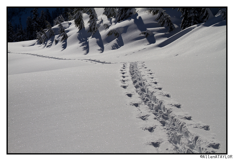
The approach ski was a great way to start the day and didn’t suck like all the other times I have been there.
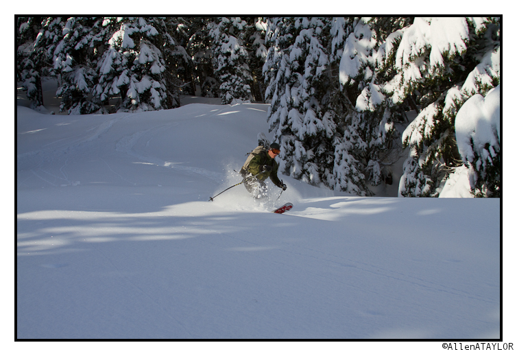
Free heels sure let you get deep.
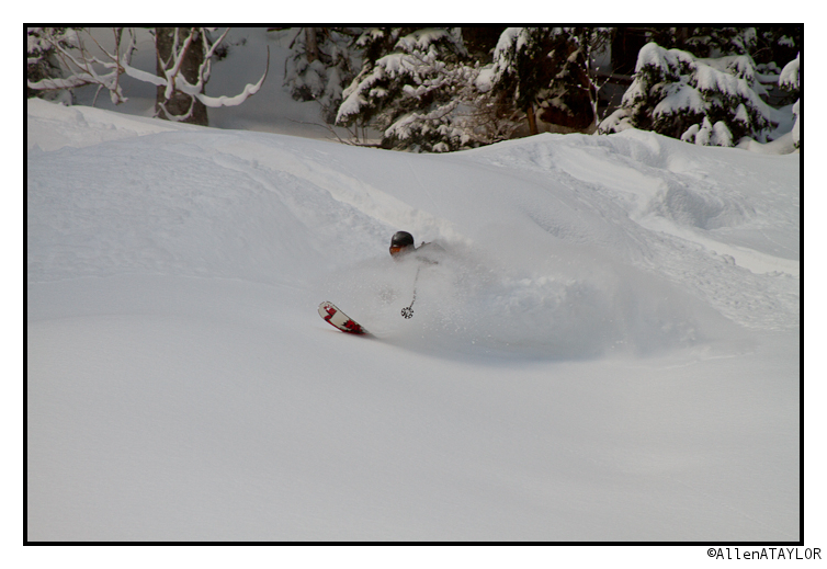
Due to wind loading concerns we weren’t comfortable skiing the most fall line portion of the White Salmon. Instead we skied a to lookers right, it didn’t suck.
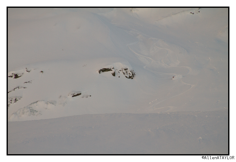
The next day I convinced James to follow me to Stone Man on mount Herman with promises of eternal fame and glory. Stone Man is a really fun line and the run as a whole is one of the longest you can find that close to the ski area. I still don’t see where the hoopla around it comes from.
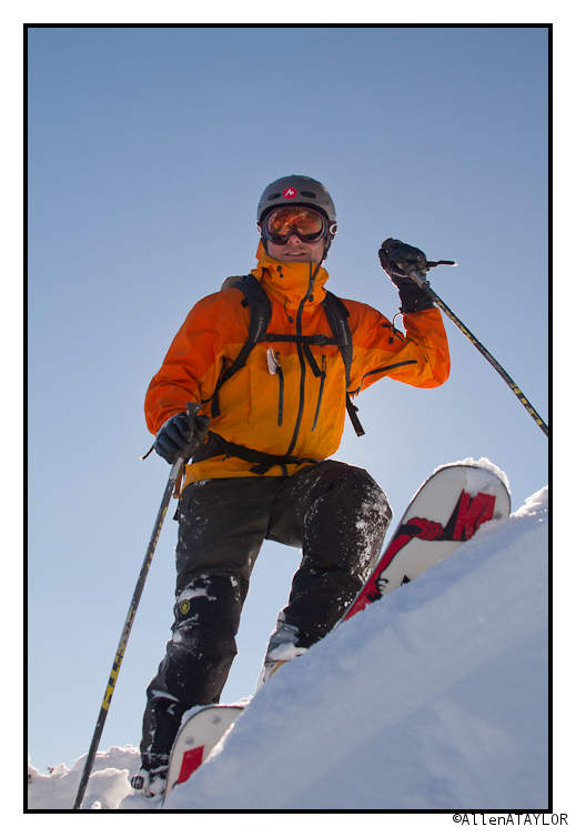
Although sloughy, the couloir was a great run, the 1500′ of untracked we skied below it was pretty darn nice too.
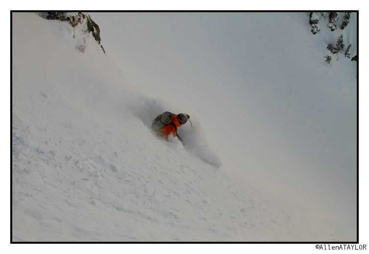
To round out the trifecta we went to check out Mount Ann. There is a narrow steep chute at the top of it we decided to give a go even though it had seen some heavy traffic.
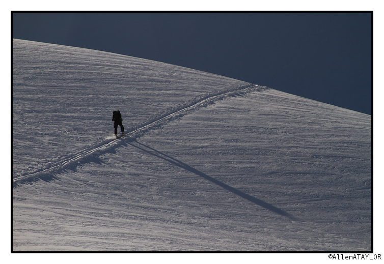
James was very disappointed that he had to ski over tracks… sorry man.
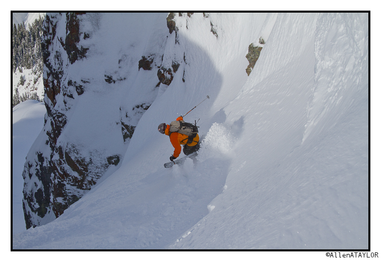
Lower down when the run opened up we had no trouble finding untracked to play in.
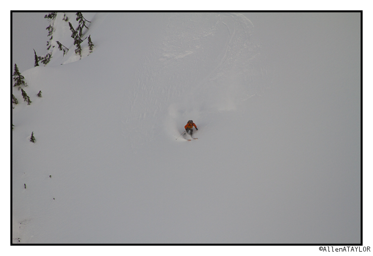
It has gotten rather cold (by PNW standards) and has continued to snow here. The avalanche danger has been considerable to high though so we have been rather confined. Hopefully things will stabilize soon so we can get back out.
Dust on Crust
…Just a bit more dust than we were expecting. So much dust in fact that we all got a little bit dusty.
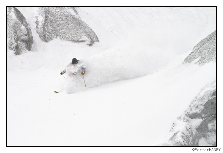
Continue reading Dust on Crust
TR: Skiing Mt. Colden’s Trap Dike
We skied the Trap Dike.
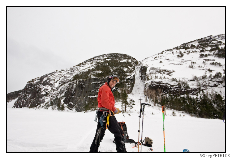
Click the picture or here to read Skiing Mt. Colden’s Trap Dike
Wasatch Weather: Potential Large Scale Pattern Change May Lead to Generous Snows
Wed. Evening Update:
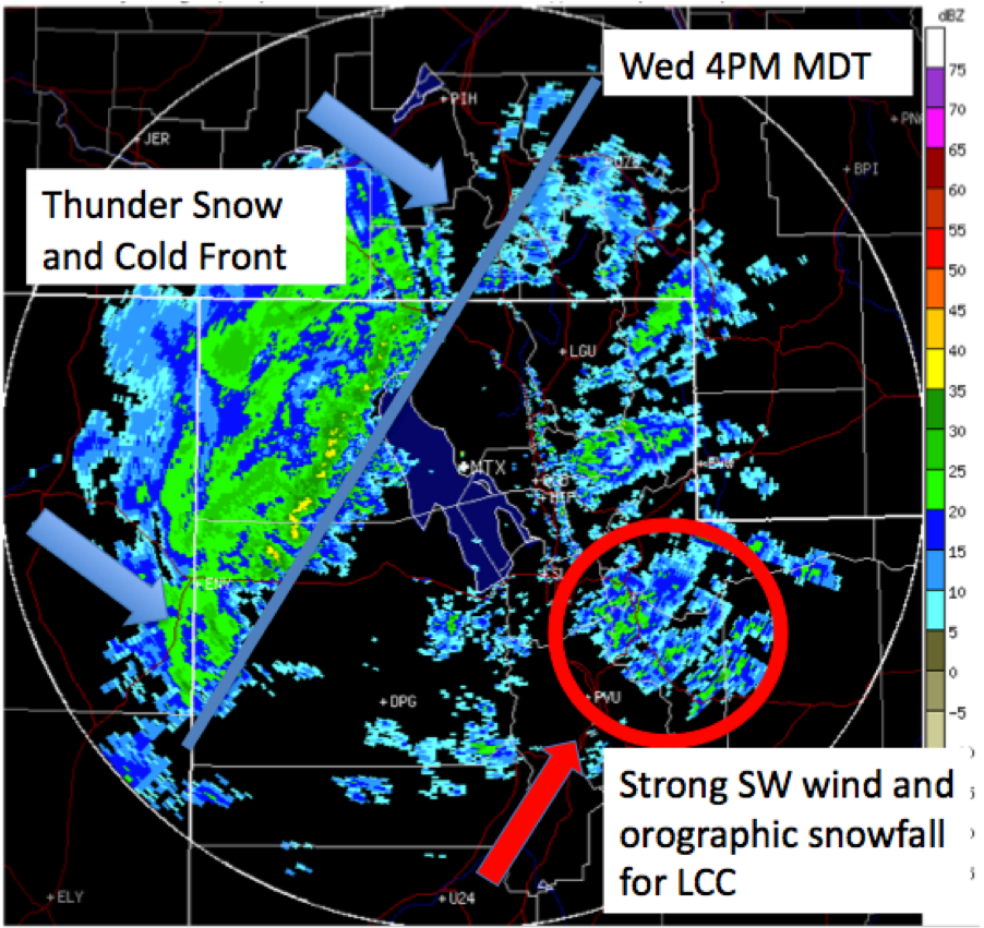
As advertised, the winds are howling in the mountains and valleys alike, dust is widespread, the pre-frontal orographic snow has commenced, and the heavy snowfall is on the doorstep. The cold front is expected to crash into the Wasatch Mountains around 7PM this evening. Thunder snow is a good possibility. A foot of new in upper Little/Big Cottonwood Canyons by morning still looks likely. Wax them boards (and you might want to have a plan B in case LCC is closed)!
Monday Update:
Pattern Change Underway.
As expected there is a major pattern change underway with a very intense trough now in place over the eastern Pacific. As this system slowly works inland an intense cold front will develop across Nevada on Wednesday which will then slam through Utah with heavy snow and strong winds sometime Wednesday night. Prior to the arrival of the cold front winds will be the big story with sustained SW winds around 60 mph at mountain top level (10,000-11,000 ft) with considerably higher gusts possible. As is often the case this time of year, blowing dust will be likely which might add our first dingy layer to the Wasatch snowpack… but it is also looking like a blessing in disguise as the wind should help to eradicate some of the pesky surface hoar that developed during the past week.
As far as snowfall it is looking like a solid foot of snow is likely Wednesday night into Thursday morning with continued snow showers during the day Thursday. The storm will likely start out with some warmer and wetter snow mixed with periods of graupel. As the colder air works in on Thursday snow densities look to improve with continued snow showers hopefully adding a topping of fluff (maybe another 3-6”) over a nice new base. Bottom line: if you’re going to call in sick one day this week, I’d probably make it Thursday.
Here’s a little graphic to illustrate the pattern for the storm Wed. into Thursday.
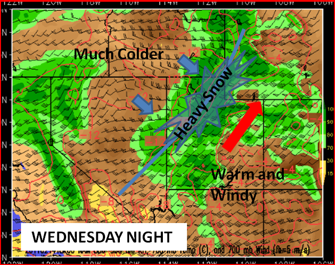
And the really good news is that the pattern change looks to linger with another more southern storm likely for Sat/Sunday and a potent and cold system possible on Monday. We’ll address those at that time. Yay snow.
Original Post:
Last week we documented the return of winter. That seems to have worked out pretty well. However, we’re still d
ealing with a large scale pattern that’s really not conducive to the big UT dumps all ya’ll are used to. Not that skiing’s been bad over the last three weeks, it’s just not been quite like this. Well looking at some of the long range models, it looks like that could change in a few days.
To discuss this further I’m bringing in a friend of FamousInternetSkiers, and new weather contributor, Neil Lareau. Neil and I met recently while negotiating the purchase of yellow cake uranium in the Wildcat parking lot. Neil’s a great guy and one smart weather dude. I hope to bring him in regularly and hopefully you enjoy his work. I do.
So without further delay, here is Neil:
Right now:
Utah finally feels a bit more like Utah… no not multiple wives, multiple feet of good snow. Specifically, 16” of right side up Wasatch goodness which is going a long way towards covering the memory (and the physical reality) of the MLK rain/rime/surface hoar fiasco (although the avy savvy will not forget that it is down there).
Changes to come:
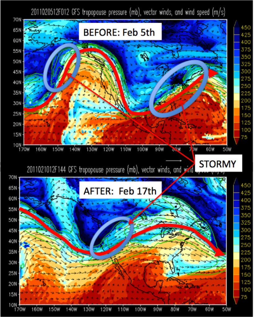
Large-scale waves in the atmosphere, which define the pattern of the jet stream, tend to steer smaller scale waves, or storms, which are responsible for most of our snow. Thus far January and early February have been dominated by a ridge, or northward deviation in the jet stream, centered over the west coast with a major trough across much of the east. The clockwise flow of air within the western ridge has favored a storm track that shunted most of the Pacific moisture and cyclones north into Alaska and British Columbia. Meanwhile, Utah was left with moisture-starved systems that were able to arc up and over the ridge and then down the continental divide. A few of these systems were stronger than others and managed to keep us sane during the past month (it is Utah after all… it always finds a way to snow here).
However the forecast models are now suggesting a major shift in this pattern with the ridge breaking down and being replaced by a large-scale trough over the eastern Pacific and then slowly moving inland through the great basin sometime around Feb 15. Since I’m working with Lionel, the master of MS paint, I’ve worked one up below to illustrate my point.
If this pattern change holds true we’ll see a massive influx of water vapor coupled with a succession of storms. The great thing about Utah is that even before the big storms get here the combination of steep mountains and lots of water vapor streaming into the region usually gets our good friend “orographic lift” all hot and bothered… ‘oro’-genous if you will. So this pattern shift could bring a significant increase in snowpack to Utah, starting out with relatively warm, wet, dense orographic snowfall followed by cold lower density snow. Sounds like a good recipe to me.
Of course all of this is a long way off in ‘model land’ and we’ll have to watch how reality shapes up during the coming week.
In the mean time get out there and enjoy the flip side of the Utah weather coin, a week of bluebird skies and comfortable mountain temperatures; perfect conditions to lay waste to the settled powder in the deeper reaches of the Wasatch backcountry.


