Chasing Rays
Blasting up the dark Canyon road, Colby, Dwyer and I we’re hankering for some blissful laps in upper Little Cottonwood hopefully bathed in some warm morning sun. It’s been extra cold recently, as low as -49F in Logan Canyon,with temperatures dropping to minus 20 F in the Alta neighborhood. While not exceptionally cold for New England standards, it had us Utah boys cringing with eye-lash-icles and frozen goggles. Without further wimping around, we braved the early morning elements, got our sweat going, and charged up to the ridge separating Big and Little Cottonwood.
We’d have never predicted it that’d we’d beat the sun to the top of the mountain side, but that’s just we did. Simple as that. Our skinning muscles must be getting to big for their own good. We peeled our skins, set up camp, and started waiting for the sun to join us on the ridge.
The few extra minutes gave us time to luxuriate in the stiff north wind and watch the groomers finishing up their work on the LCC resorts.
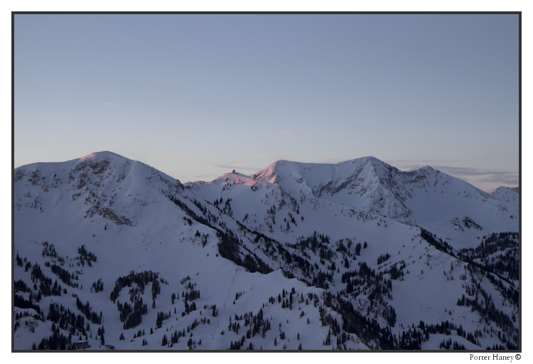
Hidden Peak isn’t so hidden from this vantage point.
The ever present Pfeifferhorn is always one of the first to soak in the Eastern rays.
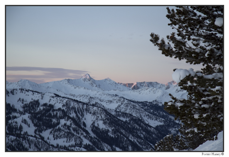
Oh hai, even Pink Pine isn’t pink yet, nor is Red or White pine.
I’ll tell you who likes to hog the sun, and it ain’t Dwyer. Superior does.
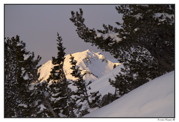
Goddamn this is a fun thing to ski.
By this time, I had thoroughly frozen the boys fingers and toes, waiting for the sun to get done tagging the high peaks and start tagging the medium peaks.
Big D dropped in, and wanted to make damn sure that everyone knows, that all though his skinning muscles are bigger than average, his skiing muscles have been compared to Paul Bunyan’s lumberjacking muscles!
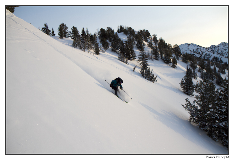
Like the mature adult he isn’t, Colby took second tracks, for he knows that the second skier always gets the sharper frame.
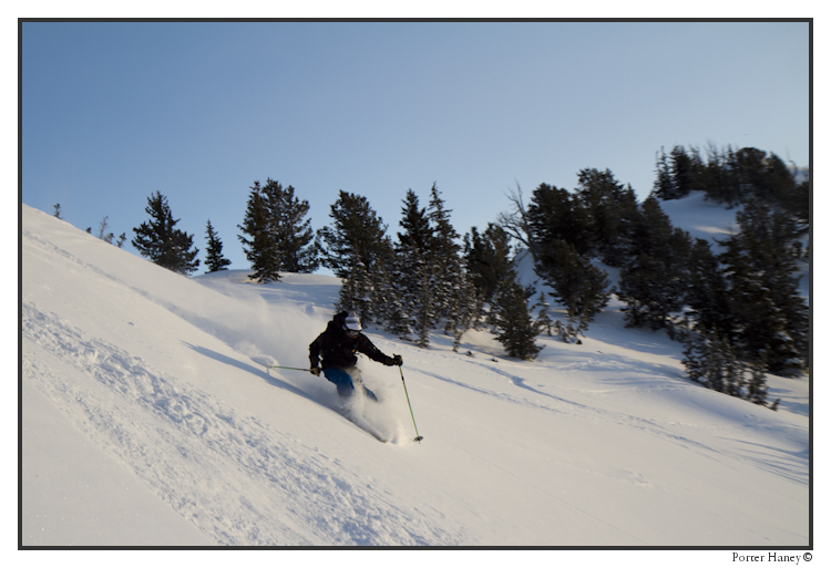
D proceeded to flash his Black Diamond (backcountry.com link, watch out you link clicking fools) logos as much as he possibly could. This way and that.
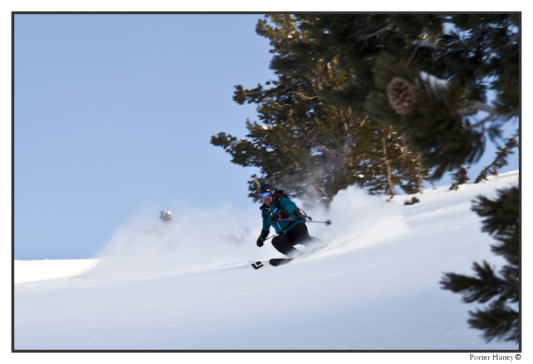
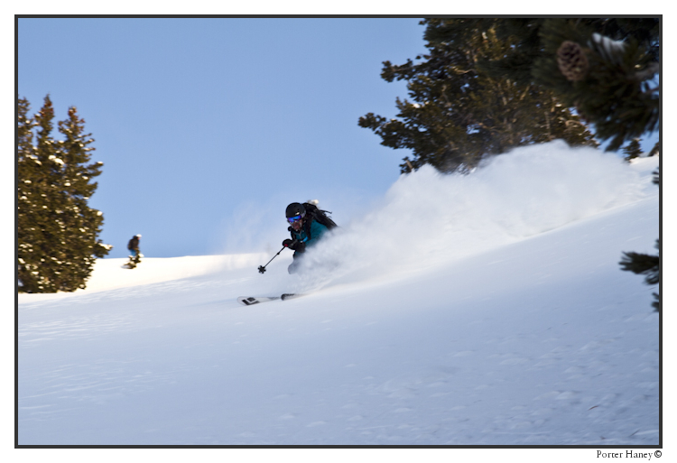
Here, he tried to sneak the logo out, but the immature sastrugi would have none of it!
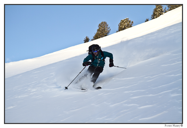
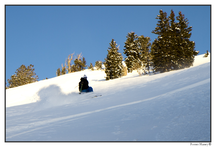
Colby got in one more frame, just chasing the sun down the hill. He turned into a chameleon here and tried to ski in tree shape.
Thanks for reading FIS. We’re all about earning our turns however we can. We’ll fight clean, we’ll fight dirty, we’ll even snake your pow if you let us! Get after it, a sunny weekend on tap for the West, and more pow for the East!
Day of Dy-no-mite
With a dynamo storm barreling through the east coast, and with dreams of powder schuss keeping us awake through the night, we lodged ourselves in northern Vermont and hoped for the best today. We had planned to head down to Magic Mountain, but as we got ready to go this morning, it was snowing too hard to risk a long white knuckle drive south, when we knew the goods close to home would be just fine. Here’s just a brief sample of what we found out there today north of Route 2. We’ll wrap up everything from the next few days into a TR later, but for now, make it your business to get to Vermont. The base is stout, the powder is deep and the skiing is the best of the season right now. Did I mention that it snowed REALLY hard at times today? Check out how much snow is between my lens and KC in this one:
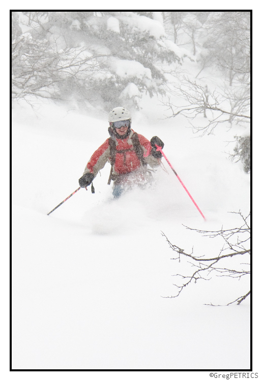
The fabled “bench” was great when we hit it fresh first thing in the morning, but even when we came back later in the day, it was still skiing superbly. With this much fresh snow on the ground, everything is going to be skiing great.
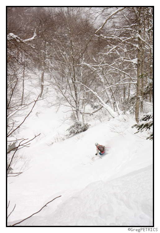
Did you really think I was going to write a quick update about a pow day, and not include one of these shots? Of course not silly goose. THIS is why you come to FIS… Did you think I’d let you down?
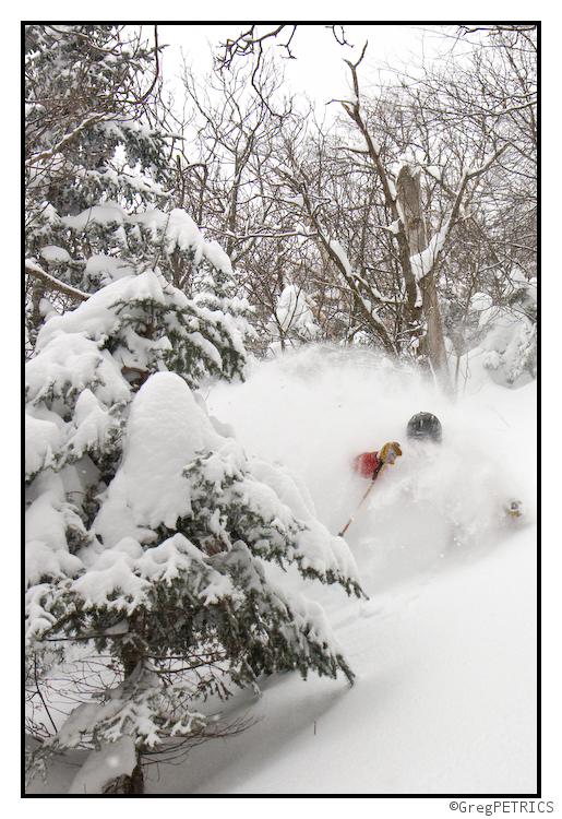
And as you can clearly see demonstrated here in this photo by Ben… even I got into some of the fun too:
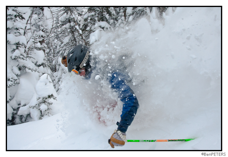
Now go out there and git sum of your own! Just about every ski hill in VT, NH, NY and ME is ready to rumble (liftopia link)! Thanks for reading. Check back throughout this stormy week for more stoke, more weather, and more reasons to earn your turns!
Dy-no-mite! Powerful Storm On Tap for Much of NY, VT and NH
No need to beat around the bush on this one. Another powerful storm is aimed straight at the heart of the Northeast and it’s locked and loaded to deliver some serious moisture into ski country.
WED. AM UPDATE
Looks like the storm has occluded. The center of surface low pressure is off in Ohio, a deep flow of warm air advection is funneling precip throughout the NE. It looks like given the occlusion that heavy snow will fall through the ADKs and Greens throughout the Morning. A dryslot will work through the Catskills as the storm wraps itself off from the primary low in the Great lakes. A few more specifics. Looks like a very heavy batch of snow is about to punch into So. VT. While the bright banding could be sleet, thermal profiles say it’s all snow. Tough to tell but I’m siding with snow. Further north the snows will remain steady for at least the next few hours.
Now here is something interesting as well…looks like we’ll get a second round of snow showers (some heavy) as the upper level low moves through the region later today and tonight. How much snow we get from this will be hard to tell. However I think if we roll all the parts of the storm together (yesterday, today, and snow showers tonight) we’ll be right in range for the totals I laid out below. Maybe a little lower in the Cats but overall pretty close.
Tuesday Afternoon Update:
I’ve been really looking closely at the development of this system and while I still feel strongly that the catskills will see a heavy snow event, I think sleet will mix in rather significantly there. Magic still looks to be in the honeypot. However new data suggests that an upward adjustment of snow totals up and down the spine of the Greens and the ADK may be necessary. Notably, models are beginning to develop this into a more occluded system as it moves through the NE. This changes the storms overall shape and essentially changes its precip spread. I’m not going to get too techy here, but if this does occlude more than previously predicted then the north country would see a robust period of snow as the occluded low moves through early early Thursday am, while areas to the south would see less snow as they would fall under a conveyor of cold dry air at the same time. This wouldn’t mean the south gets “drysloted” over all, just that there would be this overtime period of snow for the North Country previously not forecasted by any model data. Right now it’s hard to anticipate whether this more occluded solution will play out. It would require almost no coastal development to take place. Which is somewhat unlikely. However climo suggests early occlusion as storms this strong in the upper Midwest tend to close off…..regardless…there is still a great storm coming and I’ll keep you updated.
Tuesday 6:15 am UPDATE![]()
Well, batten down the hatches and lash down the main-sail because a storms a comin’.
First will be a little left handed jab. It’s moving through the catskills right now and will streak n/e bringing snow showers to much of the region. Total accums today will be 2-5 from this jab. Then the big left cross comes in overnight to deliver the knock-out blow.
The High Res models have now gotten within range and modeled the storm’s first 80%. It looks really good is all I can say. The Catskills (PKill, Belleayre), So. VT(Magic, Stratton, Mt. Snow) and the Berks are going to get SMOKED. 2 inches of water are totally possible when all is said and done, along with thunder-snow and periods of 2+ inches an hour during the day wednesday. Some sleet will mix in in these regions with less sleet in So. Vt. Awesome. Further north, I’d expect 12-16 inches of lighter snow to fall in the ADK and Northern Greens. Lightest totals will be north into the Stowe and Jay region.Over in NH (See I told you I’d say something) I’d expect 10-14 inches to fall in the whites. Similar totals should fall in the Maine ski areas as well.
Advertisement: Ohh…$14 dollar lift tickets to Burke Mountain tomorrow…that could be good !!
Monday Discussion
Ready? Here we go:
Currently a vigorous shortwave is plowing into a stationary cold front across the central united states. As cyclogenesis occurs along the front, the upper level trough will sharpen and deepen the storm, drawing the center of low pressure up into the upper Midwest. As the system deepens it will tap a substantial amount of Gulf of Mexico moisture with the warm air conveyor belt feeding into the system from the south.
Once the storm reaches the upper midwest, it will make a right turn and bascially travel right down I-80 into PA and NYC.
In the surface analysis below, you can see the overall path of the storm. (The red/blue arrows will be discussed later.
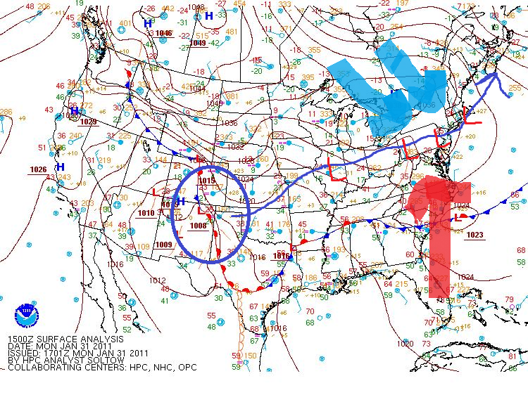
Both the NAM and the GFS strongly agree with this forecasted track. By Wednesday afternoon both models place the system in roughly the same place.
GFS:
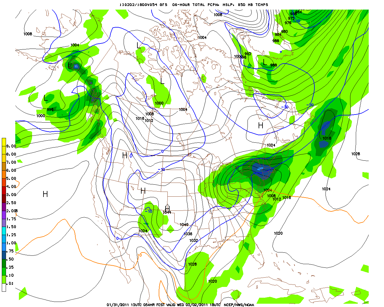
NAM:
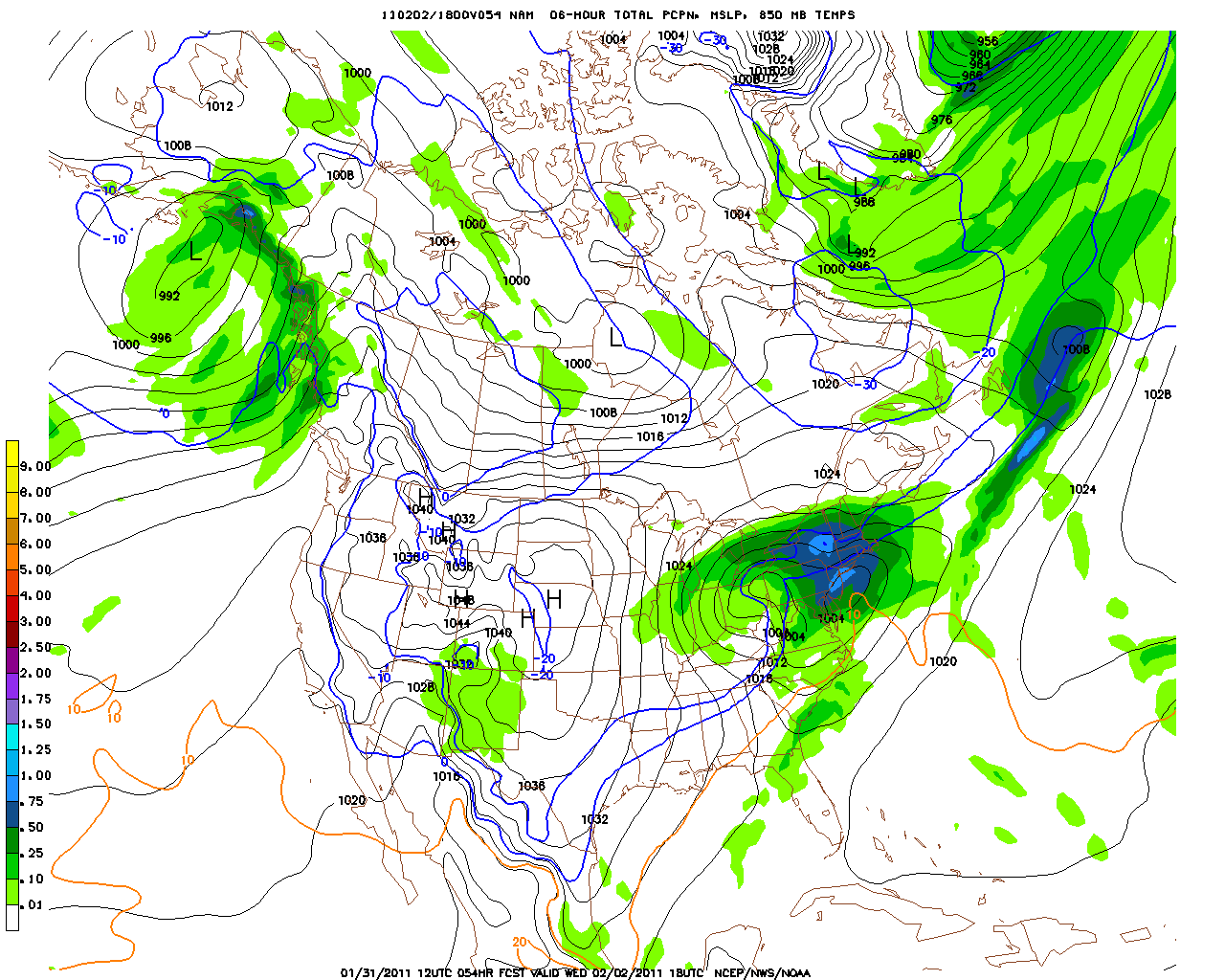
Now you’ll note there are some very lovely blue colors in those images across NY. As the system moves into PA, strong warm air advection from the south (red arrow in above surface analysis) will surge up and over cold entrenched high pressure. There will be tremendous upward motion in the atmosphere with warm moist air shooting up into the cold atm. If you can’t already figure this out, this is a recipe for tremendous snow. Seriously. Warm air advection snows like this can get REALLY intense. So intense in fact that the snow they produce would lead one to say “it’s snowing so hard it’s not just dumping- it’s actually DUMPLIN’ out. ”
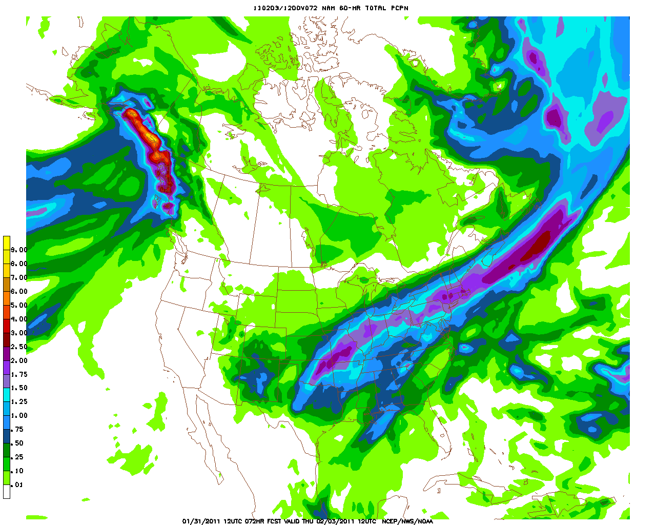
Both models show a metric shit ton of moisture in the catskills and southern VT:
NAM:
GFS:
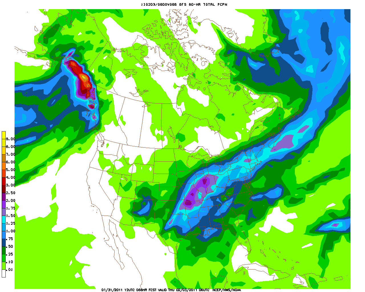
Amazingly, I don’t think these models are really exaggerating on the overall precip with this system. I fully expect between 1.5 and 2 inches of liquid to fall in the Catskills and southern Vermont by early (very) Thursday morning.
Now, with the center of the low tracking so close, and the strong warm air advection, there may be some mid-level temperature issues that would work to change some of this moisture into sleet.
Looking at temp profiles for the southern teir of NY state, we see a pocket of warm air from 900-700mb.
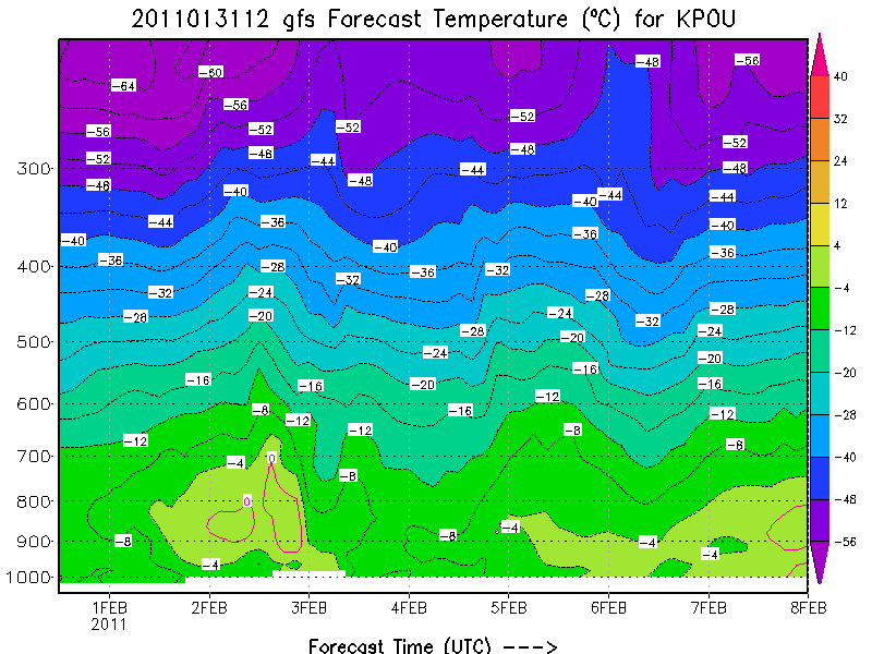
This indicates the that sleet is likely during this system. However, as this profile is from Poughkeepsie which is south and east of the Catskills, I’d expect the atm to be 1-2 degrees cooler in the Catskills. Just enough to keep much of the storm precip as snow with only periods of sleet mixing in.
In southern VT, the overall atm looks to be cooler. 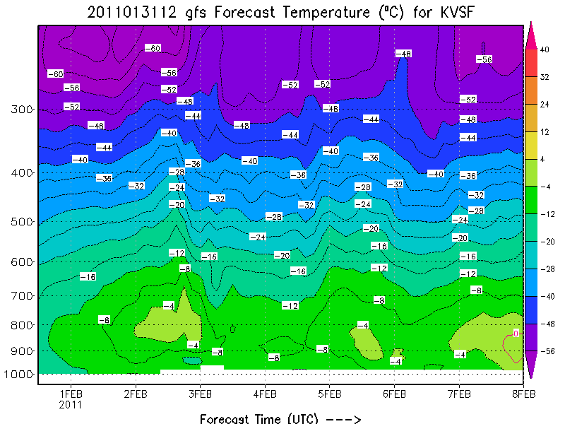
Accordingly, I’d expect less sleet to mix into the system there.
With all the above considered, at this time I expect 12-20 inches of dense snow + sleet to fall in the catskills with pockets of 24 inches highly possible along southeast facing slopes. Further east, I believe that 14-20 inches of snow will fall in southern VT.
Not to be left out, the Adirondacks, and Northern Greens will see some snow from this system. While they will see less moisture, with much cooler temps, the snow that does fall with have better dendritic development and be much fluffier. Accordingly it’s possible that overall totals are suprisingly close. I think right now it’s adivisable to predict 8-14 inches in the ADK and central greens (K-Mart to MRG) and 8-12 for Stowe and Jay. This is less than NWS/BTV has predicted but I’m not really comfortable with their 17-18 inch predictions right now. If the NAM trends further to the North or the High res models indicate otherwise I’ll adjust. But at this time I think those numbers are a tad high.
Video: Larrabee South Face
![]()
Sam and I had the chance to make some new friends at the Winchester Hut, then the next day we got to check Mount Larrabee off our list. Our route took us up a pre broken skin-track on the west face then down a couloir on the south face. We crammed 8 people into the winchester Hut the night before the summit push. I had the chance to meet more skiers 8 miles in the backcountry than I had living in Maple Falls since the summer. Among the list of new friends was Jason Hummel, man what a character… Something tells me our paths may cross again. The trip worked out very well, we were down at Chair 9 gorging ourselves on a mountain of nachos and enjoying a victory beer before it even got dark.
Enjoy!
TR: Loving Life on Larrabee
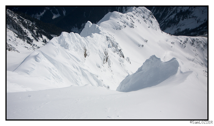
This somewhat belated TR recounts a two day trip to Larrabee that Allen and I went on. Last thursday, a lucky break in the rainy weather we’ve been having around here allowed us to ski an aesthetic line down the south face.


 Buying lift tickets for a trip you just planned using Lionel’s Forecast? Use Liftopia!
