TR: Give Us an Inch, and We’ll Schuss a Foot
We did our homework last week, and as a result were able to harvest some New England alpine powder. The skiing was sublime but nerve racking, and required every last bit of our avalanche smarts to ensure safety.
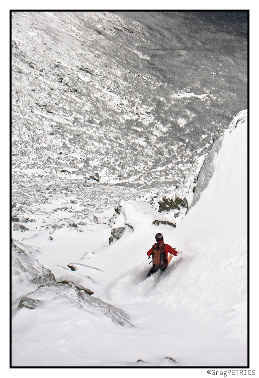
Click the picture or here to read Give Us an Inch, and We’ll Take a Foot
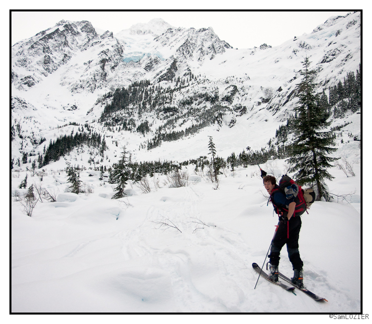
Allen, Chris and I took a day off work to go ski a run on the White Salmon Glacier. It wasn’t too bad.
Powder on High
If you play it safe, and use your dome piece there’s some powder on high for the taking right now. GET AVALANCHE SMART!
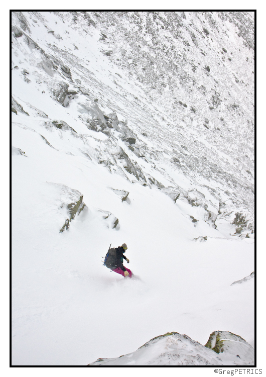
Have a great Sunday!
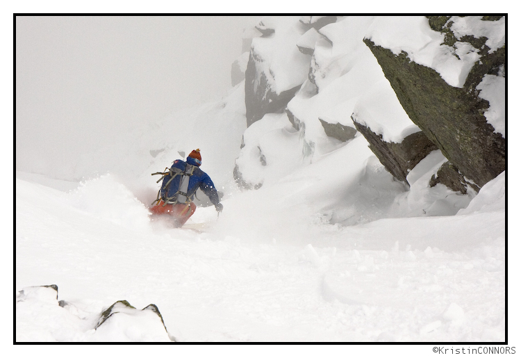
We’ll see you back here tomorrow to start off the workweek with an FIS TR. Oh by the way… did we mention? GET AVALANCHE SMART!
Sneaky snows over next 36 hours in Greens and ADK
Quick update here:
Currently the Greens, ADK and to a lesser extent NH are under the influence of an upper level low slowly spinning and exiting towards the northeast. Over the next 36 hours this upper trough will correspond to an unstable airmass with nw winds. This will create snow showers across the higher terrain. Upslope dynamics will enhance snowfall along the spine and northern ADK. Snowfall along the spine will be roughly 4-6 inches by Sunday night.
UPDATE: Looking at the time/height series downstream at BTV I think it’s appropriate to up totals in/around the Northern Green Spine. There should be a period tonight between 7 and midnight of rather enhanced snowfall. Low level lift spikes in the prime snow-growth region in this time frame. I’d think now a few areas along NW facing slopes and some “spill over” locations will be in the 7-9 range. Still not mega – base builder snow but every little bit helps.
Turning to next week the potential for a significant costal storm has grown with several consistent model solutions in a row. Essentially, as I wrote a few days ago, western energy ejecting out through the GOM and onto the NC coast will deepen and slide up the coast a bit. As of now I don’t really see great steering dynamics to pull the storm north enough to really hammer the Greens, ADK and Northern NH. At best right now my best guess would be a repeat of 12/26-27. I’ll keep you posted.
Clipper storm brings snows to North Country
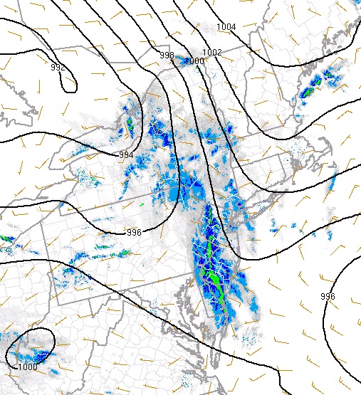
Currently a weak shortwave is moving through PA pushing a blob of light to moderate snows through the eastern half of the state. Further to the north light snows are breaking out across NY State. You can clearly see the weak surface trough and area of precip on the current surface analysis:
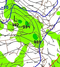
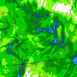
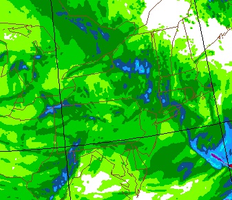
Now, looking at the model predictions from 12 hours ago for this forecast period we see the GFS having modeled this fairly well. See the similarities below:
So lets keep that in mind.
Now when this weak wave hits the warmer air off the coast it will deepen slightly. While not tracking up the coast or blowing up into a full fledged nor’easter as was predicted a few days ago it will nevertheless bring some decent snows to areas of the North Country.
And that’s where it gets a little tricky!
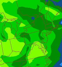
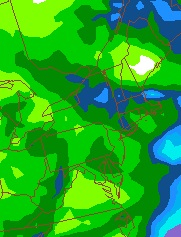
See what’s going to happen is that a band of moderate snow will develop to the NW of the surface low. Where this band sets up is tricky as the atmospheric dynamics birthing it are fickle. Looking at the latest model runs we see some significant spread:
So as you can see there is some significant spread in the QPF forecasts for key areas such as the Catskills and Southern VT. As the GFS has modeled the current situation well it’s hard to ignore it. However it’s so dang dry I wonder if it modeled the pressure properly and botched on the moisture. That’s pretty easy to do.
So putting my tinfoil hat on and turing on the microwave for 45 seconds to tune into the earths chi and divine what the weather will do, I come up with the following:
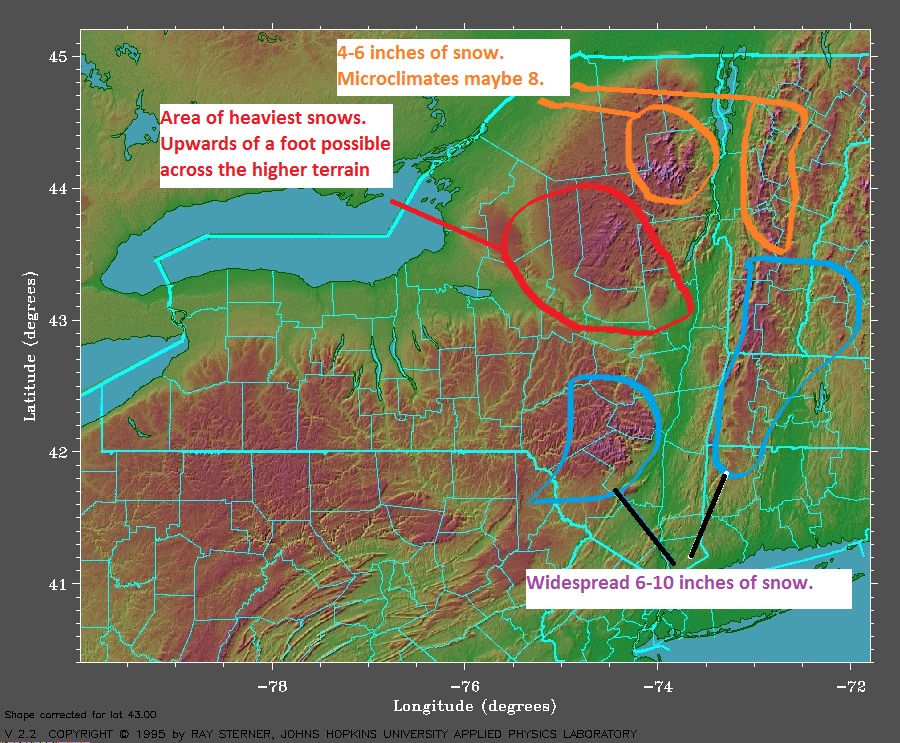
The hardest hit areas will be the southern ADK NW of Albany. Peaks there could see a foot of snow. Further to the south in the catskills, 6-10 inches of snow seems like a reasonable spread. To the east into the Mass and the Berkshires we’ll see 4-8 inches of snow. Southern VT remains and is the hardest to forecast. I want to say 6-10 is reasonable for this area. A pocket of higher could exist if the system slows down a touch tomorrow.
So there you go…a nice little snowfall to get your january going.
A few extras:
1. Areas to the north will see some light snow from this system 4-6 inches seems reasonable. NWS BTV has higher amounts – generall 6-8 inches along the central Green Spine and ADK. Seems high to me. We’ll see.
2. Look out for some upslope snow come Sunday night/Monday as this low tracks a little backwards into the Canadian Maritimes
3. Next week- say wednesday- western energy that tracked through the GOM will pop out off the NC coast. Where it goes from there will become an increasingly important and newsworthy over the next few days. We’re playing model games right now so it’s really not worth commenting much. Suffice it to say we’re in the “nor’easter watch” zone and I’ll be digging into this over the weekend.
Laters!


