Long duration event set to affect Wasatch range (UPDATED Sat. 11/20)
In the latest round of our weekly series entitled “Hey- it snows a lot in the Wasatch” we will feature a long duration event. From Sunday until Tuesday of next week a large western trough will swing into the intermountain region and bring a prolonged period of mountain snowfall.
Continue reading Long duration event set to affect Wasatch range (UPDATED Sat. 11/20)
Departing storm may leave skid marks…of the good kind (Errr…Maybe Not?)
It’s rained. It was warm. Get used to it. It happens in a la Nina pattern. However, as I said a few weeks ago in my winter outlook as these messy storm pull out, upslope snow will play an important role in the wake of the systems. The current system is no different.
Continue reading Departing storm may leave skid marks…of the good kind (Errr…Maybe Not?)
TR: The Upper Crust
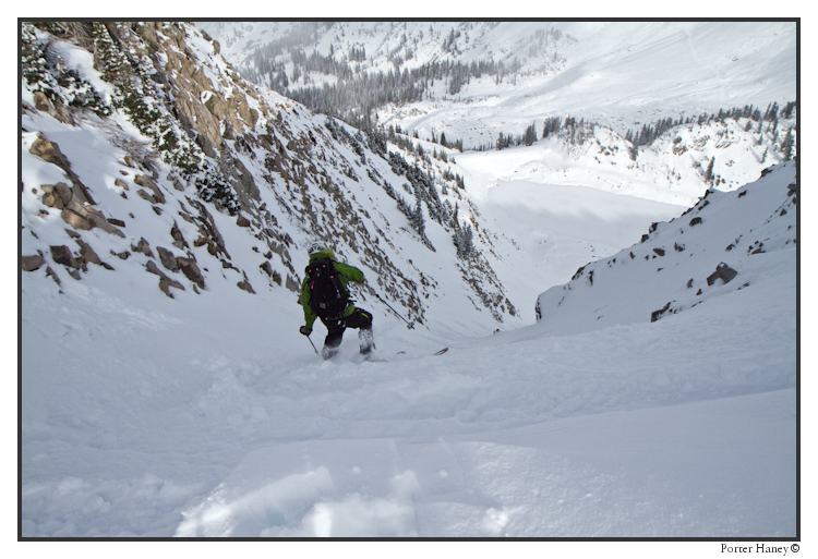
Utah’s Famous Internet Skiers took off for a three day weekend of exploring Upper Crusts, Lower Crusts, Deep Dish pizza and Crustless hot tubs.
Click the image, or click right HERE to read more.
Opening Day Forecast….ehhhhhhh….
I hear you. I totally hear you. With 10 days before the traditional opening day it’s warm, wet and not looking great. Every day somebody asks me “what’s up? Am I going to ski my turkey gravy and stuffing off or am I’m going to get stuck with grandma going shopping for holiday sweaters and deals on new linens?” Well I’m here to tell you the truth. Its going to be close but there is a light at the end of the tunnel and it appears that winter wants to show up in the long range.
Continue reading Opening Day Forecast….ehhhhhhh….
Wasatch Weather: The little engine that could
Have to keep this short since i’m on a computer that hasn’t been considered up to date since the days of external modems. Ok, maybe that’s an exaggeration…the days of Napster is more like it. Anyway, currently a disturbance embedded in a long wave trough is bringing snow to the Wasatch range. A few days ago this looked like a non-event. Snow shower maybe. Then a little later it looked wetter and the overall stability of the air decreased leading to a more robust solution…but certainly nothing to write about according to Utah standards. But this little guy wouldn’t quit.
Now we have a full fledged storm fueled by upper level disturbances, instability and pretty strong NW flow. Overall this pattern should produce between 10 and 20 inches along the N/W facing slopes of the cottonwood Canyons. The storm should come in right-side up with very nice snow to water ratios throughout much of the event. Warming aloft should shut the system down by Wednesday am.


