V. Mt. Adams
In Seattle I was met by Jpark42 from TAY, an OR employee who was intent on climbing Adams. With high pressure in the forecast, we crashed at his place and got a mid morning start the next day, arriving at Adams around noon. The road still had a lot of snow on it so we had to skin and hike almost 6 miles to get to the base camp. We camped at a beautiful spot at the wilderness boundary around 6300 feet and got a great view of Adams, St. Helens, and hood as the sun went down.
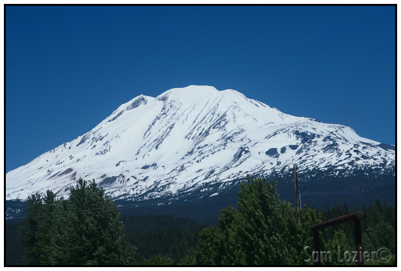
– Adams from the drive in.
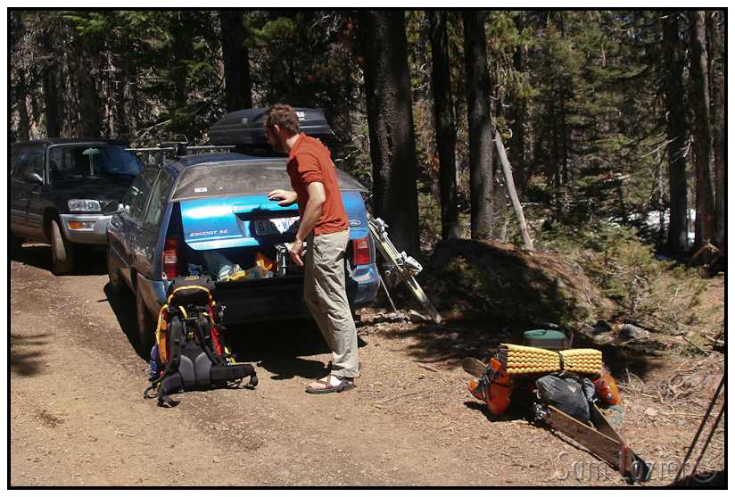
-Gearing up.
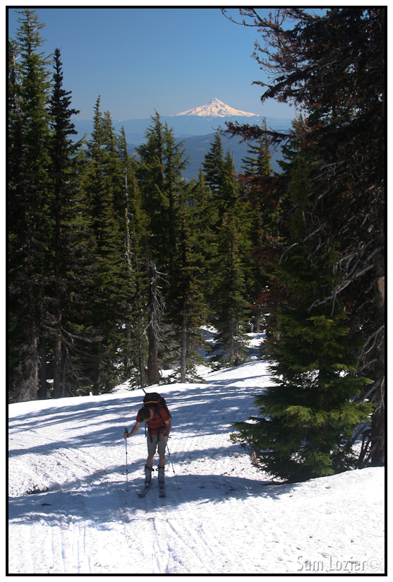
-Skinning past the Cold Creek campsite. All the tenting spots were under 5 feet of snow.
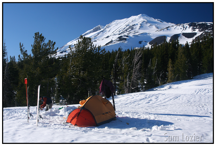
– This campsite did NOT suck!
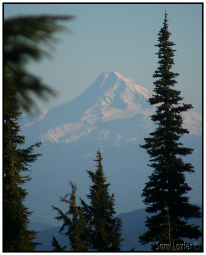
– Mt. Hood to the South, I’d be there soon enough.
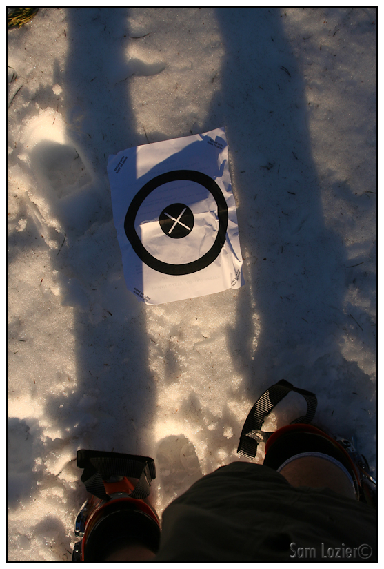
– They give you these little targets that I find hilarious. Guess what they’re for….
We awoke to scattered wrappers and trail mix, our food was missing. It was Friday the 13th, but this seemed to be an exceptionally bad start to the day. Goddamn animals. The missing food, and the high winds we could see whipping up snow at altitude seemed to make summiting more questionable than it had been the day before. We decided to head out and see how high we could get before turning around.
The climb turned out to be a mellow, but very long, skin all the way up to the summit. High on the Mazama glacier I got quite a ways ahead of Jeremy. When I reached the false summit, I decided to wait for him for a few minutes, finally I looked back down to make sure he was OK, and he called for me to go on to the summit, so I geared back up and marched on. Except for a small section on the way to the true summit, I was able to skin the entire way. My altimeter was more than 1000 feet low when I topped out, and as I hiked up to the real summit, I was desperately hoping that the map, and not the altimeter, showed the correct elevation. Sure enough though, as I got near the what I hoped was the top, the rest of the mountain fell away, and Rainier came into view to the North.
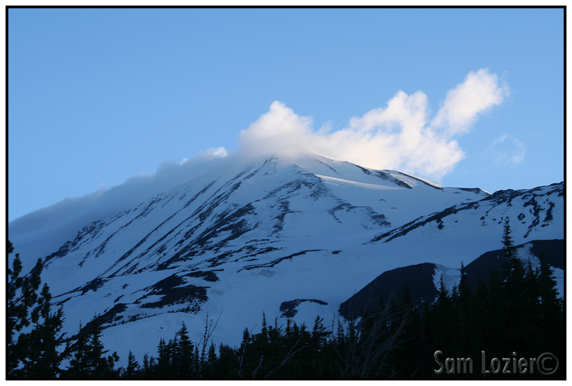
– High winds on the summit at 4:30 AM.
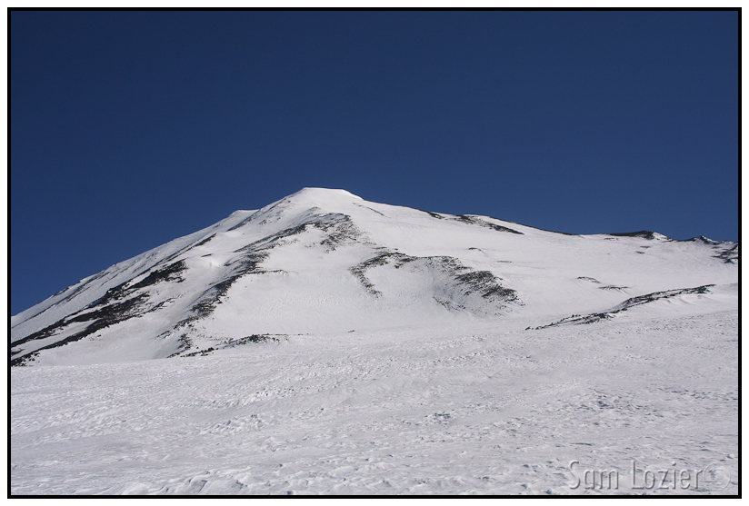
– Mid-slog, part way up. The Mazama Glacier is in view on the right.
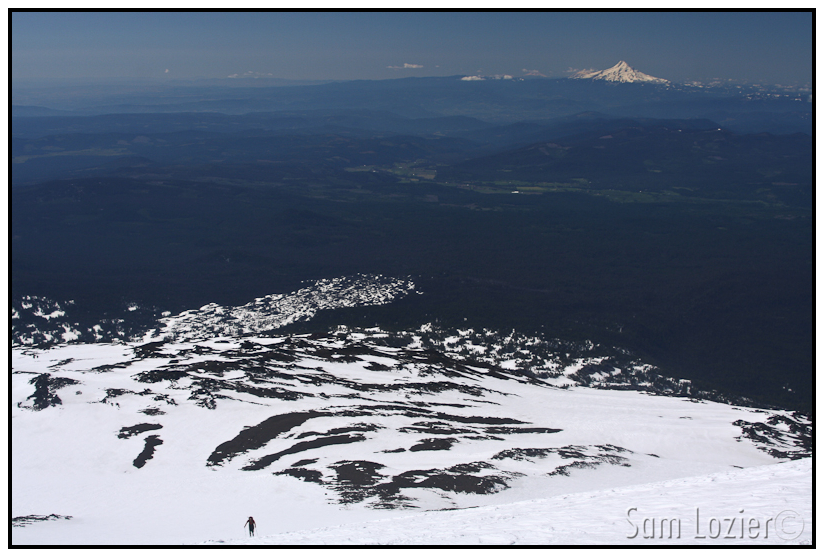
– We ended up skiing down past the furthest visible snow in this photo.
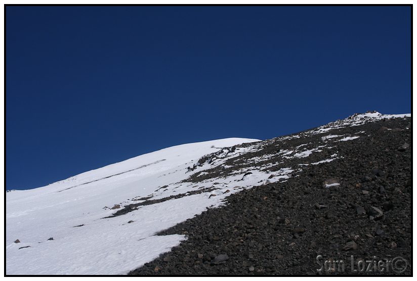
– I’d been told the volcanoes were basically huge piles of sand, but it didn’t really hit me until we stopped at this rest and were essentially sitting on a massive pile of volcanic sand….
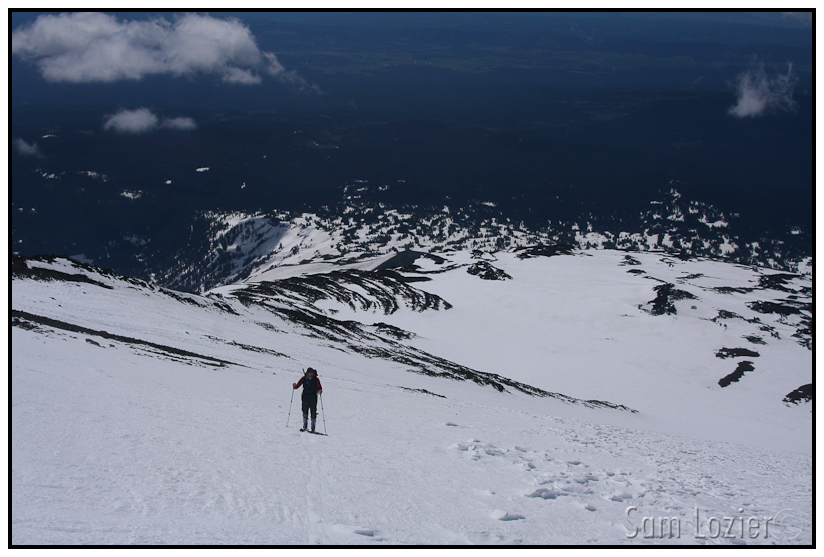
– Jeremy, skinning, high on the Mazama Glacier.
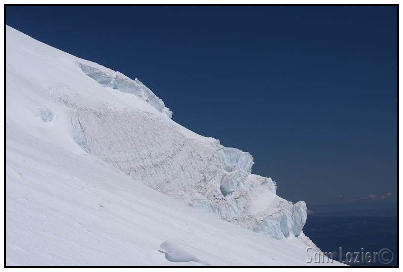
– Glacier ice, wow I guess we are on a glacier.
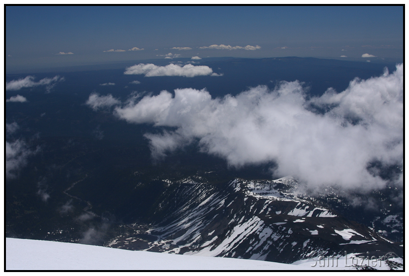
– Looking SE down onto the Yakima Indian Reservation.
I hung out, taking picture and enjoying the view, for about 20 minutes, but the wind was picking up and it looked like some clouds could possibly be forming into a front off to the West. I skied the super chattery rime ice for 1000 feet down to the false summit, where I met back up with Jeremy and commenced our massive descent of the Mazama and Crescent Glaciers back to the campsite. From the false summit at 11500 feet, to the campsite at 6500 feet, the corn was just about as good as it gets, but it got rotten and patchy as we did the kick and glide all the way back to the car at 4900 feet. We were both exhausted as we got to the car around 5 and were very hungry. We decided to hit the nearest good food, which turned out to be a Mexican place in White Salmon, WA. After a large and satisfying dinner, we hit the road for the long drive back to Seattle. We got in a little after midnight, and passed out quickly.
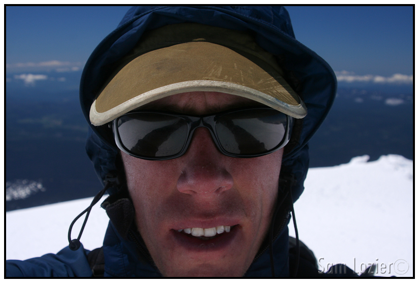
– Dorky summit self portrait. I got a little crispy on the way up.
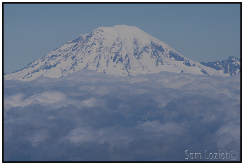
– Rainier poking through.
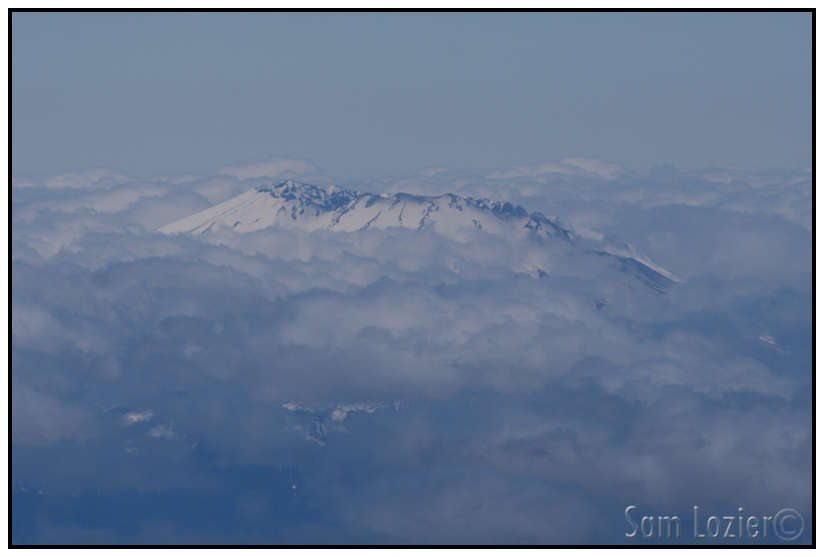
– St. Helen’s, showing her face.
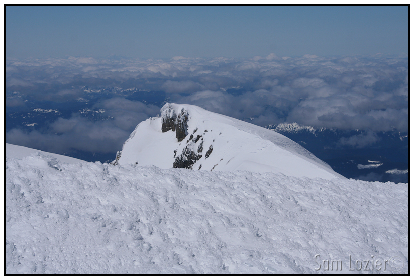
– The Pinnacle. Some of those chutes must go, but I didn’t get a chance to check myself.
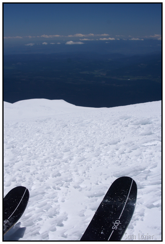
– About to start the longest run of my life. Two days up, 2 hours down.
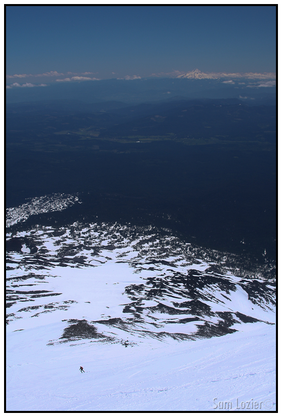
– Only 6000 more feet to go. (Jeremy skiing below)
Keep reading below:
VI. The Birthday Tour
Read about the author: Sam


