VII. Baker
Shawn and I left from the Birthday Tour at around 3 for Seattle. I was trying to meet up with snowbell from TAY to climb St. Helens, but I wasn’t able to make it back in time, so I borrowed Shawn’s computer and started looking for some other partners. The only other mid-week partner I could find was mangerk – Kyle, from Bellingham who wanted to go up Baker. I made plans to catch the noon bus from Seattle to Bellingham the next day.
Shawn was kind enough to buy me breakfast and drop me off at the bus station. I barely made it, but ended up catching a very comfortable coach with leather seats heading for Bellingham. Kyle met me at the bus station, and we headed right out for Baker. This trip was reaching a bewildering pace.
That afternoon, we did the several mile approach hike up to a rock shoulder at 6500 feet, and set up camp. While we ate dinner, we got some amazing views of Bellingham, the sound, and the alpenglow on Baker behind us. There were some patchy clouds, and the following day had a “partly cloudy forecast, but we didn’t worry about it as we went to bed.
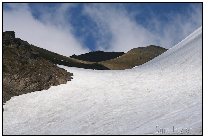
– Covering some very scenic ground on the way up towards camp.
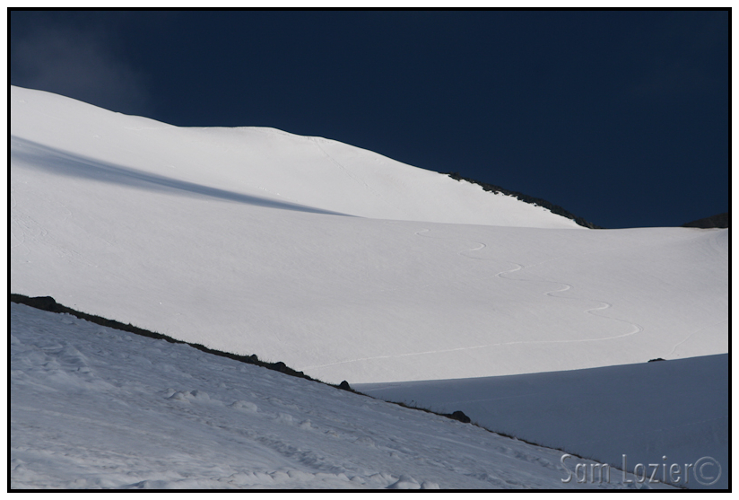
– This picture just screams soul. (not our tracks)
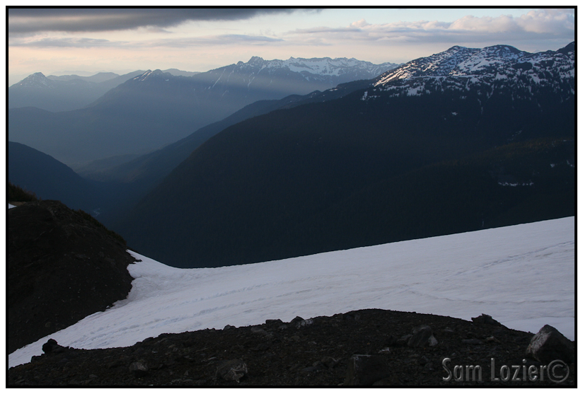
– The view north from camp.
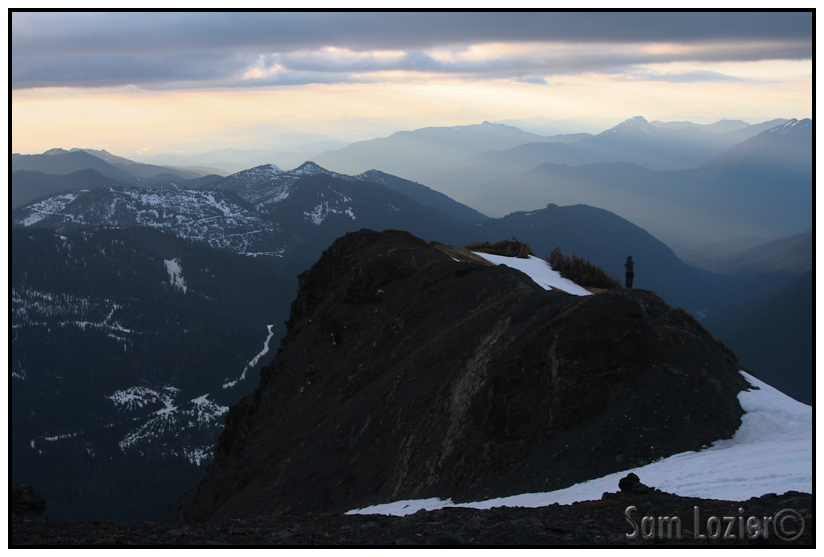
– Looking NW, Kyle in the photo.
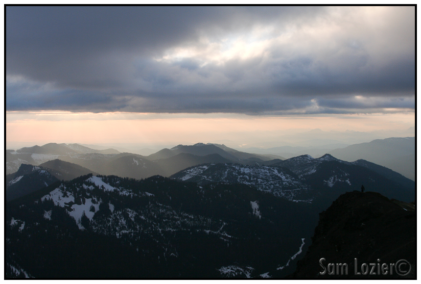
– The view to the West.
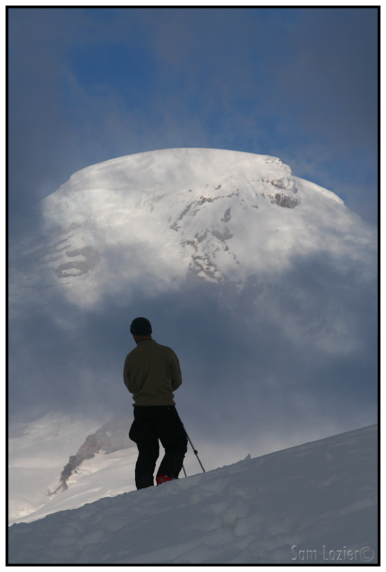
– Baker revealed itself.
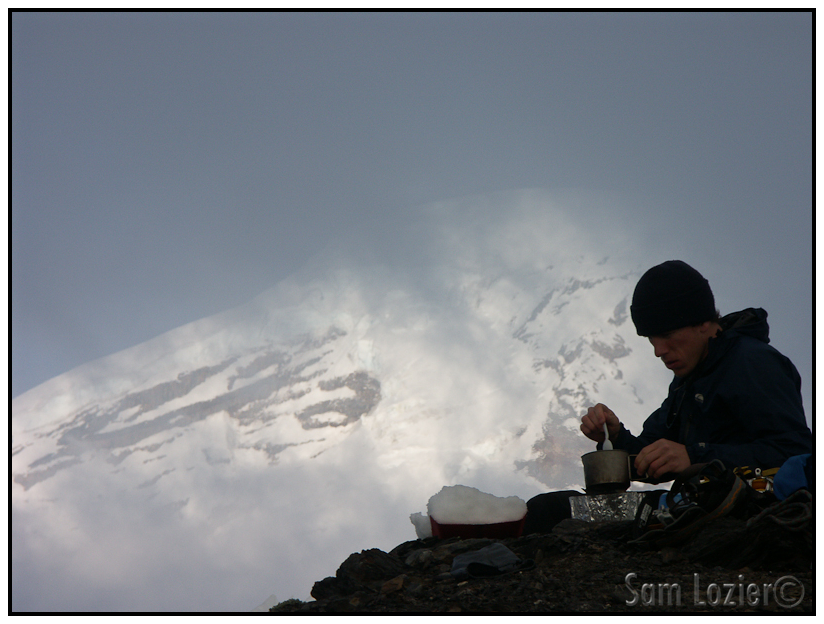
– Master snowmelter. (photo: Kyle Manger)
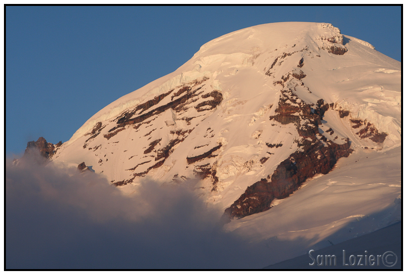
– Alpenglow on Baker.
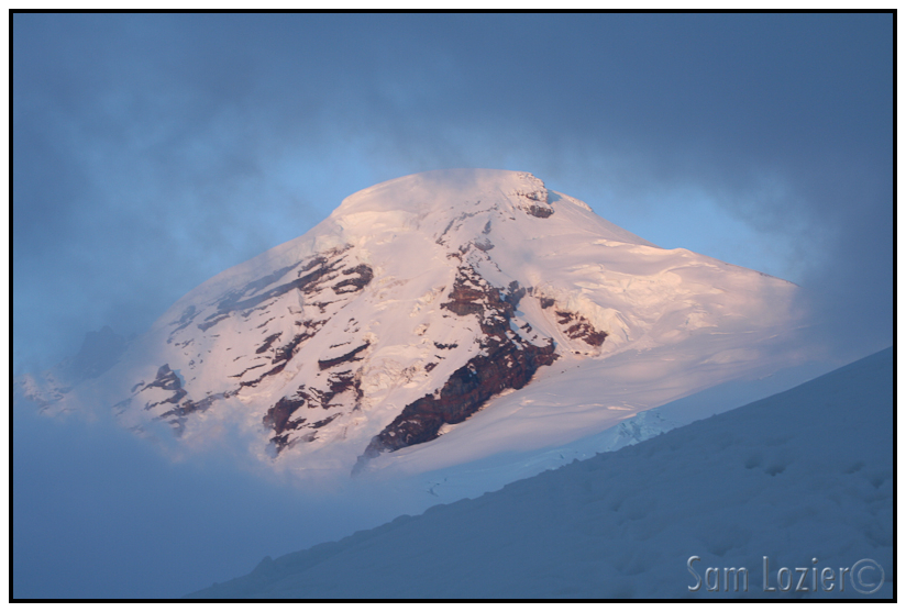
– Blown focus #2 for the trip…
We awoke to fast moving pea soup a few hundred feet above us, the weather was blowing in fast. We quickly ate some breakfast and set off for the summit, hoping the weather would clear out. As we marched up the Coleman-Demming route, it became steadily windier and foggier. When we hit the col just above the glacier, the visibility was down to about 30 feet. Kyle wasn’t excited about the situation, and was considering turning around, but there was a rock band heading straight uphill from the Col to the “Roman Wall”. I suggested we press on until visibility improved or we couldn’t handrail any further. We cramponed up, and started booting up the Roman Wall without any improvement in visibility for several hundred feet. It wasn’t until the rocks started to run out that we hit a few sucker holes and realized that we were almost at the top. As we pressed on, we passed a descending guided party that was getting belayed down the roman wall. Soon after, we hit the summit. Except for the top 100 or 150 vertical feet of the top of Baker, all of Washington and Southern BC was clouded in. We didn’t get the famous view of the valley, but we did get a spectacular view of the uninterrupted sea of clouds below us.
We then had the serious matter of finding our way down through a dense, 5000 foot tall cloud layer, over a crevassed glacier, all while traversing left on ambiguous terrain back to our campsite. It was pretty stressful endeavor and took a very long time, but after feeling our way through the vertigo inducing “I can’t see my tips” mist we finally hit an ambiguous rock band that we struggled to find on the map. While we were pouring over the map, and looking at pictures from the day before to orient ourselves, a brief sucker hole opened up, and we saw our tent about 200 yards across the drainage back in the direction we had come from. A few seconds later the view was gone, but it was enough to find the gear. After eating some noodles, we packed up the tent and skied down to the car on wet snow. We were both extremely wiped out, but somehow found the strength to down some massive burgers before passing out at Kyle’s apartment.
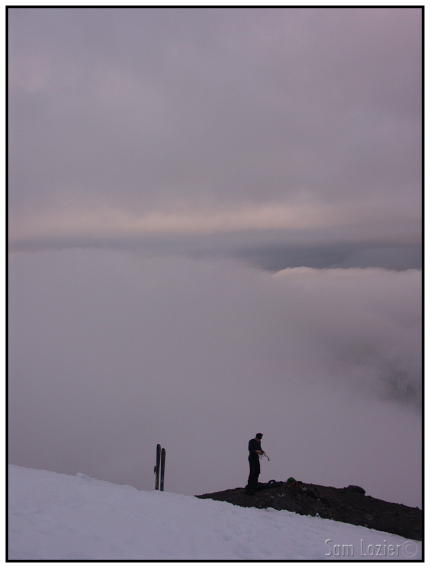
– Gearing up. (photo: Kyle Manger)
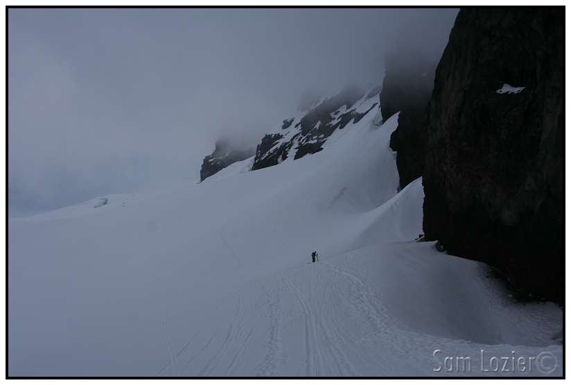
– Heading up the Coleman-Demming
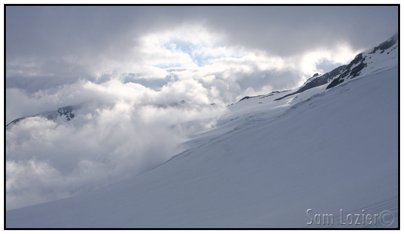
– Sunrise through the clouds on Baker.
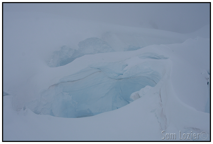
– “hmm. Let’s avoid those on the way back”
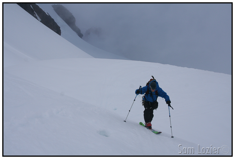
– Kyle climbing.
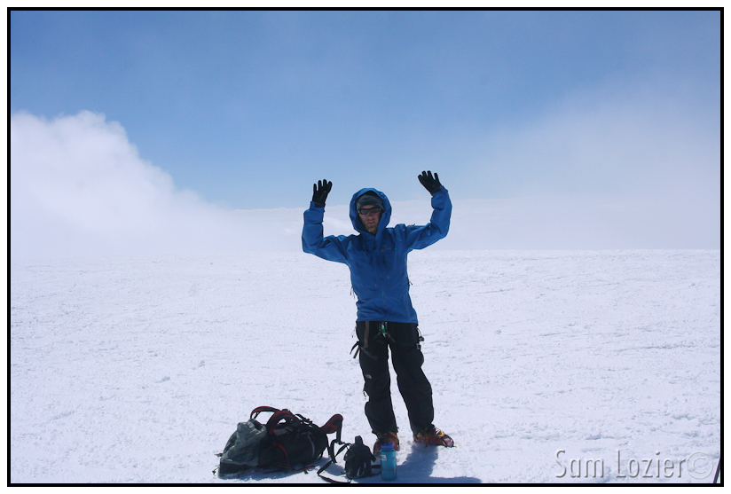
– The obligatory dorky summit shot.
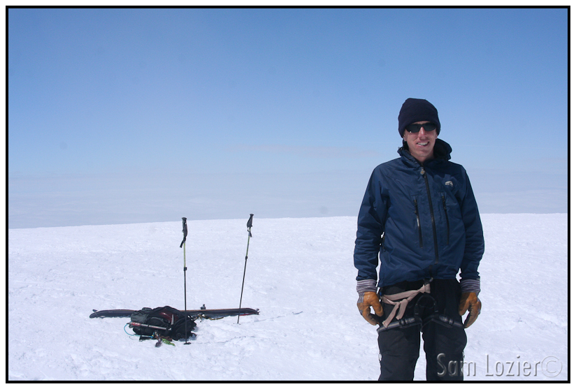
– Notice the non-view behind me. It felt like being in an airplane. (photo: Kyle Manger)
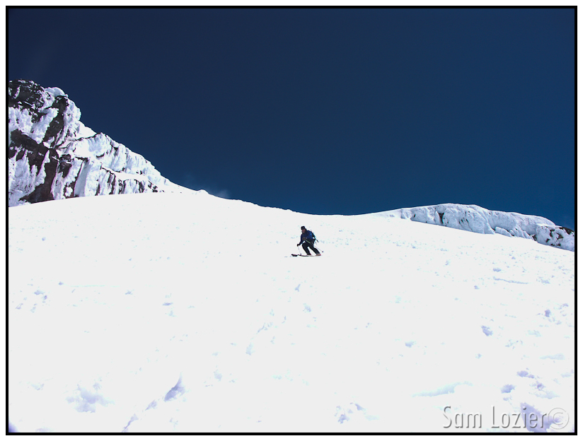
– Me, skiing the rime covered Roman-ramp. (Photo: Kyle Manger)
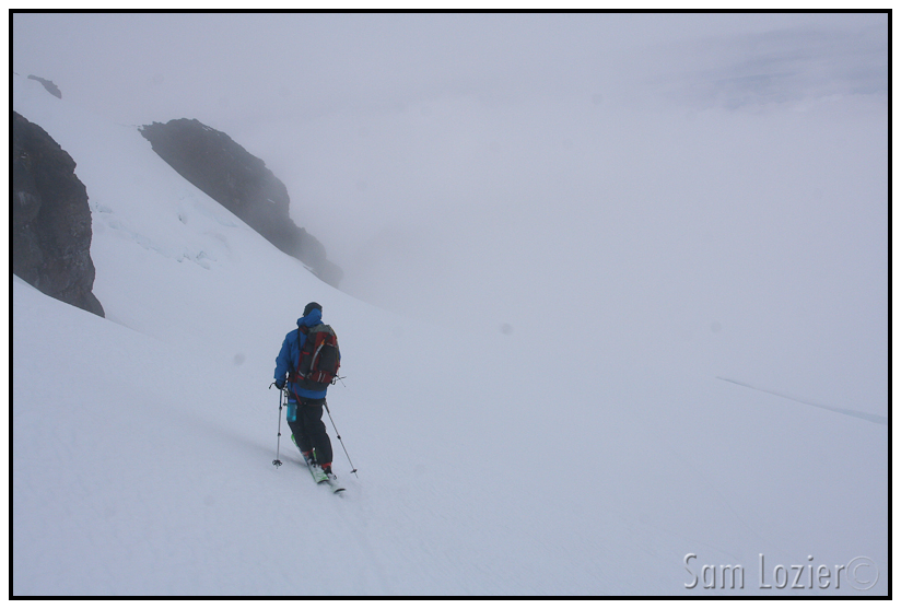
– Kyle, about to ski onto the sensory deprivation glacier.
Keep reading below:
VIII. St. Helens
Read about the author: Sam


